Browse / Thailand / Chiang Rai / Chiang Rai
Chiang Rai
Chiang Raicity

Chiang Rai
Total population
77,672
Founded
1262
Demographic figures from National Statistical Office of Thailand. Overview below cites Wikipedia and may reference a different year.
City facts
Facts from Wikidata (CC0).
Overview
Chiang Rai is the northernmost major city in Thailand, with a population of approximately 70,000 people. It is located in Mueang Chiang Rai District, Chiang Rai Province. Chiang Rai was established as a capital during the reign of King Mangrai, in 1262 CE. Chiang Rai is recognized as a "Design City" by UNESCO's Creative Cities Network.
Read more on WikipediaHistory & geography
History
The city was founded by King Mangrai in 1262 and became the capital of the Mangrai Dynasty. The word 'Chiang' means 'city' in Thai, so Chiang Rai would mean 'the City of (Mang) Rai'. Subsequently, Chiang Rai was conquered by Burma and remained under Burmese rule for several hundred years. It was not until 1786 that Chiang Rai became a Siam vassal. Siam (later Thailand) annexed the Kingdom of Chiang Mai in 1893 as a Monthon, which Chiang Rai joined later in 1910. It's not before 1933 that Chiang Rai became a full province of Thailand. In 1432, during the reign of King Sam Fang Kaen of the Mangrai Dynasty (1402–1441), the Phra Kaeo, or Emerald Buddha, the most revered Buddha statue, was discovered in Chiang Rai when an earthquake split the chedi at Wat Phra Kaeo of Chiang Rai city. The jade figure was then seen concealed within. Another telling of the story has the "Emerald Buddha" hastily covered in mud just before marauders entered to pillage. Many years later, the clunky-looking mud Buddha was found to actually house a magnificent jade statue, perhaps by way of the earthquake mentioned above—which caused a piece of the clay to break off—revealing the jade beneath. In 1992, the city pillar was moved from Wat Klang Wiang to Wat Phra That Doi Chom Thong, where it is known as Sadue Mueang (), the "navel" or omphalos of the city.
Geography
Chiang Rai lies on the flat alluvial plain of the Kok River, a tributary of the Mekong, between the Daen Lao Range in the north and the Phi Pan Nam Range in the south. The Kok River runs along Chiang Rai's north side, flowing eastwards out of Burma at Tha Ton (ท่าตอม) town, bending north-eastwards and joining the Mekong River about north-east of the city. The Lao River, a tributary of the Kok, flows south of Chiang Rai. There are four bridges spanning the Kok River within the town's boundaries, each running south–north. Most of the terrain surrounding Chiang Rai town is either flat or has moderate hills. The exception is outward in the west and north-west directions, where limestone hills are evident, some of which have vertical exposed cliffs. That is also the direction where most of the region's hill tribe people have their villages, further afield. The city is north of Bangkok, about north-east of Chiang Mai, south of Mae Sai and the Burmese border; south-west of the town of Chiang Saen on the Mekong River across from Laos; and north of Phayao town. The Golden Triangle, the tripoint of the Thailand, Laos and Myanmar borders, is north-east of the city.
Excerpted from the corresponding Wikipedia article (CC BY-SA).
Geography
Coordinates & boundaries from the US Census TIGER/Line shapefiles.
Climate
Air quality
Walkability
Amenities nearby
Wildlife & biodiversity
Most-observed species
- Spotted DoveSpilopelia chinensis (Scopoli, 1786) · Aves638
- Great MynaAcridotheres grandis Moore, 1858 · Aves505
- Sooty-headed BulbulPycnonotus aurigaster (Vieillot, 1818) · Aves455
- Common MynaAcridotheres tristis (Linnaeus, 1766) · Aves446
- Barn SwallowHirundo rustica Linnaeus, 1758 · Aves418
- Eurasian Tree SparrowPasser montanus (Linnaeus, 1758) · Aves343
- Ashy WoodswallowArtamus fuscus Vieillot, 1817 · Aves321
- Oriental Magpie-RobinCopsychus saularis (Linnaeus, 1758) · Aves308
Citizen-science & research observations from the Global Biodiversity Information Facility (GBIF).
Earthquake history
Most recent
- M 4.6 — 2019-02-2026 km SW of Mae Chai, Thailand
- M 4.6 — 2018-02-0340 km WNW of Tachilek, Myanmar
- M 4.7 — 2017-04-1840 km NE of Tachilek, Myanmar
- M 4.5 — 2014-08-2444 km SSE of Fang, Thailand
- M 4.4 — 2014-06-0913 km NE of Tachilek, Myanmar
- M 4.3 — 2014-05-1229 km SSW of Chiang Rai, Thailand
Events from the USGS Earthquake Catalog (global) (FDSN Event Web Service).
Photos
Sights & places nearby
Notable people from here


People born within ~10 km, from Wikidata (CC0). Click any name for their Wikipedia article.
Nearby places in Chiang Rai
Geography & sun
Elevation, sunrise/sunset and daylight from Open-Meteo. Solar climatology from NASA POWER.
Nearby airports
Public attention
Pageview totals from the Wikimedia Pageviews API.
Books about Chiang Rai
Search results from Open Library.
Recent natural events nearby
Ground air-quality sensors
Recently spotted species
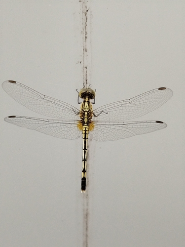
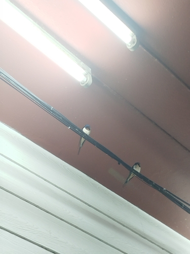
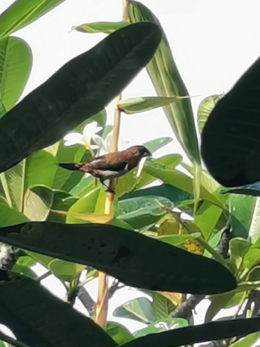
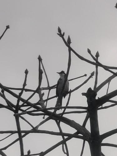
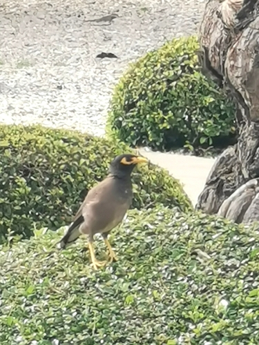
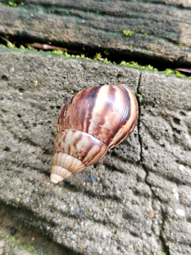
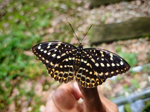
Research-grade observations from iNaturalist (within ~15 mi).
Events
Gallery
Sources
- • Wikipedia
- • Wikidata
- • USGS Earthquake Catalog (global feed)
- • GBIF (Global Biodiversity Information Facility)
- • iNaturalist
- • Open-Meteo / sunrise-sunset.org
- • Wikipedia Pageviews API
- • Open Library