Browse / Uganda / Western / Kagoma
Kagoma
Westerntown
Demographic figures from Uganda Bureau of Statistics. Overview below cites Wikipedia and may reference a different year.
City facts
Overview
As a town in Western, Uganda, Kagoma occupies its own corner of the country. On the world map it falls within the Eastern Hemisphere, specifically at 1.154°, 30.754°. No reliable population estimate is published for this entry in the open data we rely on. Based on its equatorial position, residents likely encounter hot and humid year-round with little seasonal temperature variation. Solar-resource estimates put the area at about 1,917 kWh/m² of solar irradiance per year with sunshine for roughly 75% of daylight hours. Detailed open-data panels follow, covering demographics, climate, geography, wildlife and nearby settlements.
Summary composed automatically from structured open data on this page. See our Terms for details.
History & geography
Geography
Coordinates & boundaries from the US Census TIGER/Line shapefiles.
Climate
Air quality
Walkability
Amenities nearby
Wildlife & biodiversity
Most-observed species
- Northern FiscalLanius humeralis Stanley, 1814 · Aves14
- Northern Gray-headed SparrowPasser griseus (Vieillot, 1817) · Aves12
- chimpanzeePan troglodytes (Blumenbach, 1775) · Mammalia7
- Laughing DoveSpilopelia senegalensis (Linnaeus, 1766) · Aves6
- Black CrakeAmaurornis flavirostra (Swainson, 1837) · Aves5
- Eastern Plantain-eaterCrinifer zonurus (Ruppell, 1835) · Aves5
- Black-headed HeronArdea melanocephala Children & Vigors, 1826 · Aves5
- Pied CrowCorvus albus Statius Muller, 1776 · Aves4
Citizen-science & research observations from the Global Biodiversity Information Facility (GBIF).
Earthquake history
Most recent
- M 4.5 — 2024-08-0316 km NNE of Kamwenge, Uganda
- M 4.5 — 2023-03-0418 km SSE of Bundibugyo, Uganda
- M 3.6 — 2022-08-112 km SSW of Fort Portal, Uganda
- M 4.3 — 2022-02-1655 km W of Kigorobya, Uganda
- M 4.9 — 2022-02-1412 km SSW of Fort Portal, Uganda
- M 4.7 — 2022-02-1312 km SSW of Fort Portal, Uganda
Events from the USGS Earthquake Catalog (global) (FDSN Event Web Service).
Photos
Sights & places nearby
Notable people from here
Nearby places in Western
- Kasonga3.1 mi away
- Buhuka5.9 mi away
- Ntoroko16.5 mi away
- Kibaale33 mi away · pop. 7,600
- Hoima45.6 mi away · pop. 100,625
- Kakumiro47.1 mi away
- Fort Portal47.6 mi away · pop. 54,275
- Bundibugyo56.8 mi away
- Kikingura Trading Centre66 mi away
- Masindi76.2 mi away · pop. 94,622
- Bulisa80.6 mi away
- Kasese82.1 mi away · pop. 101,679
Geography & sun
Elevation, sunrise/sunset and daylight from Open-Meteo. Solar climatology from NASA POWER.
Nearby airports
Public attention
Books about this place
Recent natural events nearby
Ground air-quality sensors
Recently spotted species
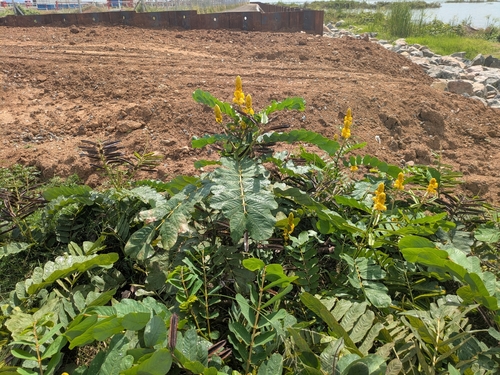
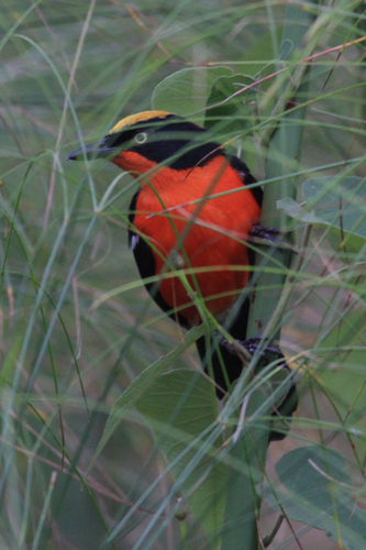
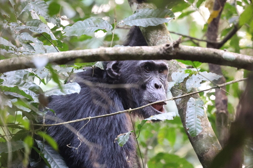
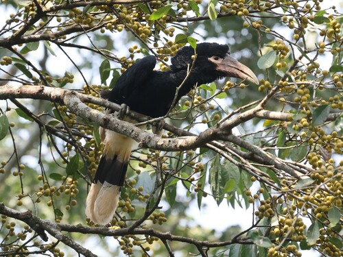
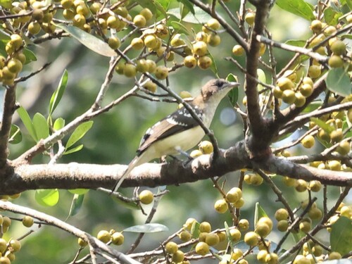
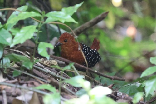
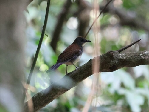
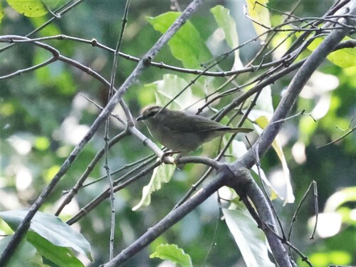

Research-grade observations from iNaturalist (within ~15 mi).
Events
Gallery
Sources
- • Wikidata
- • USGS Earthquake Catalog (global feed)
- • GBIF (Global Biodiversity Information Facility)
- • iNaturalist
- • Open-Meteo / sunrise-sunset.org