Browse / United Kingdom / England / Manchester
Manchester
Englandcity

Manchester
Total population
503,100
Founded
1301
Air quality index
Demographic figures from UK Office for National Statistics. Overview below cites Wikipedia and may reference a different year.
City facts
Sister cities
Facts from Wikidata (CC0).
Overview
Manchester is a city and metropolitan borough in North West England, at the centre of the eponymous county of Greater Manchester. It had a population of over 589,000 in 2024. It borders the Cheshire Plain to the south, the Pennines to the north and east, and the city of Salford to the west. The two cities and the surrounding towns form one of the United Kingdom's most populous conurbations, the Greater Manchester Built-up Area, which has a population of 2.87 million.
Read more on WikipediaHistory & geography
History
The first major Celtic tribe in what is now Northern England were the Brigantes; they had a stronghold in the locality at a sandstone outcrop on which Manchester Cathedral now stands, opposite the River Irwell. Their territory extended across the fertile lowland of what is now Salford and Stretford. In 79 AD, following their conquest of Britain, the Roman general Agricola ordered the construction of a fort named Mamucium to protect Roman interests in Deva Victrix (now Chester) and Eboracum (now York). Central Manchester has remained a continuously populated settlement since. Fragments of the Mamucium fort remain visible in Castlefield. The Roman habitation of Manchester probably ended around the 3rd century; its civilian settlement appears to have been abandoned by the mid-3rd century, although the fort may have supported a small garrison until the late 3rd or early 4th century. The fort was first investigated by archaeologists in 1906, and opened to the public in 1984. After the Roman withdrawal and subsequent Anglo-Saxon settlement, the centre of the town moved to the confluence of the rivers Irwell and Irk. In the Normans' Harrying of the North, much of the area surrounding Manchester was laid waste. The Domesday Book (1086) records Manchester within the hundred of Salford and held as tenant in chief by a Norman named Roger of Poitou. The town was later held by the Grelley family, who were the lords of the manor and residents of Manchester Castle. By 1421, Thomas de la Warre had founded a collegiate church for the parish, which would later become Manchester Cathedral; other church buildings have since become Chetham's School of Music and Chetham's Library. The latter opened in 1653 and remains open to the public, the oldest free public reference library in the UK.…
Geography
At , northwest of London, Manchester lies in a bowl-shaped land area bordered to the north and east by the Pennines, an upland chain that runs the length of northern England, and to the south by the Cheshire Plain. Manchester is north-east of Liverpool and north-west of Sheffield, making the city the halfway point between the two. The city centre is on the east bank of the River Irwell, near its confluences with the Rivers Medlock and Irk, and is relatively low-lying, being between above sea level. The River Mersey flows through the south of Manchester. Much of the inner city, especially in the south, is flat, offering views from many highrise buildings in the city of the foothills and moors of the Pennines, which can often be capped with snow in the winter. Manchester's climate, its proximity to a seaport at Liverpool, the availability of waterpower from its rivers, and its nearby coal reserves were highly influential in its early development as an industrial city. For purposes of the Office for National Statistics, Manchester forms the most populous settlement within the Greater Manchester Urban Area, the United Kingdom's second-largest conurbation. There is a mix of high-density urban and suburban locations. The largest open space in the city, at around , is Heaton Park. Manchester is contiguous on all sides with several large settlements, except for a small section along its southern boundary with Cheshire. The M60 and M56 motorways pass through Northenden and Wythenshawe respectively in the south of Manchester. Heavy rail lines enter the city from all directions, the principal destination being Manchester Piccadilly station, the city's largest railway terminus, and the second-busiest in Great Britain outside of London. Manchester lies at the centre of the…
Excerpted from the corresponding Wikipedia article (CC BY-SA).
Geography
Coordinates & boundaries from the US Census TIGER/Line shapefiles.
Climate
Air quality
Current readings from Open-Meteo Air Quality API (Copernicus CAMS European reanalysis).
Walkability
Amenities nearby
Wildlife & biodiversity
Most-observed species
- Common Wood-PigeonColumba palumbus Linnaeus, 1758 · Aves29,825
- Eurasian MagpiePica pica (Linnaeus, 1758) · Aves27,621
- European RobinErithacus rubecula (Linnaeus, 1758) · Aves26,513
- Eurasian BlackbirdTurdus merula Linnaeus, 1758 · Aves25,884
- Carrion CrowCorvus corone Linnaeus, 1758 · Aves24,192
- Eurasian Blue TitCyanistes caeruleus (Linnaeus, 1758) · Aves23,931
- European GoldfinchCarduelis carduelis (Linnaeus, 1758) · Aves20,899
- Western JackdawColoeus monedula (Linnaeus, 1758) · Aves20,568
Citizen-science & research observations from the Global Biodiversity Information Facility (GBIF).
Earthquake history
Most recent
- M 3.4 — 2025-12-030 km ESE of Carnforth, United Kingdom
- M 2.7 — 2023-06-282 km SE of Cheadle, United Kingdom
- M 3.6 — 2022-05-302 km ESE of Prees, United Kingdom
- M 2.6 — 2014-10-282 km NNE of Hucknall, United Kingdom
- M 3.2 — 2013-08-2523 km W of Cleveleys, United Kingdom
- M 3.6 — 2011-01-035 km S of Masham, United Kingdom
Events from the USGS Earthquake Catalog (global) (FDSN Event Web Service).
Photos
Sights & places nearby
Notable people from here


People born within ~10 km, from Wikidata (CC0). Click any name for their Wikipedia article.
Nearby places in England
Geography & sun
Elevation, sunrise/sunset and daylight from Open-Meteo. Solar climatology from NASA POWER.
Nearby airports
Public attention
Pageview totals from the Wikimedia Pageviews API.
Books about Manchester

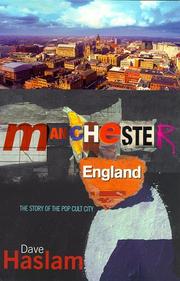


Search results from Open Library.
Recent natural events nearby
Ground air-quality sensors
Recently spotted species

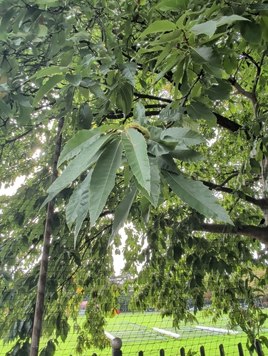


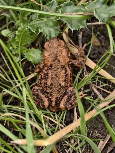
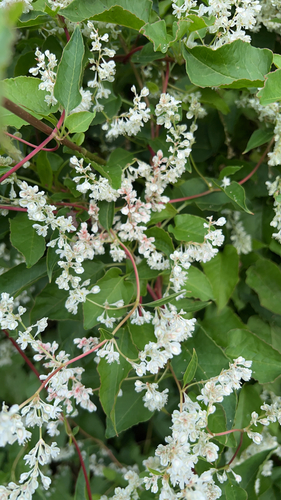
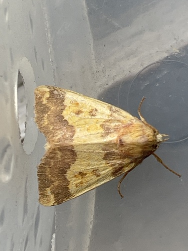
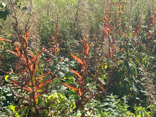
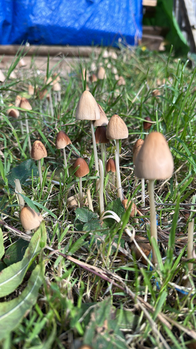
Research-grade observations from iNaturalist (within ~15 mi).
Events
Notable, recurring, and historical events associated with Manchester, sourced from Wikidata.
- Alan Turing Centenary ConferenceJun 22, 2012recurring event
Computer Science Conference celebrating Alan Turing in his centenary year
- 2011 United Kingdom anti-austerity protestsJan 1, 2011demonstration
series of anti-austerity protests that took place in the United Kingdom in early 2011
- Jan 1, 2011
Source: Wikidata (CC0).
Gallery
Geotagged photos within ~6 miles of Manchester, from Wikimedia Commons contributors.


,_9_February_2013.jpg)


.jpg)
.jpg)
.jpg)


Photos via Wikimedia Commons — see each image page for license & attribution.
Official Identifiers
ONS — UK Office for National Statistics
- ONS code
- osgb4000000074567025
- Local type
- City
- Region
- North West
api.postcodes.io / OS Open Names
Sources
- • Wikipedia
- • Wikimedia Commons
- • Wikidata
- • Open-Meteo Air Quality (CAMS)
- • USGS Earthquake Catalog (global feed)
- • GBIF (Global Biodiversity Information Facility)
- • iNaturalist
- • Open-Meteo / sunrise-sunset.org
- • Wikipedia Pageviews API
- • Open Library
- • Wikidata SPARQL (CC0) — population, area, elevation, inception, head of government, Commons image
- • ONS / OS Open Names — UK official place gazetteer, via api.postcodes.io (OS code, local type, county/unitary, district/borough, region)
- • ONS — UK Office for National Statistics — api.postcodes.io / OS Open Names