Browse / United Kingdom / England / Sandown
Sandown
Englandtown

Sandown
Total population
11,654
Demographic figures from UK Office for National Statistics. Overview below cites Wikipedia and may reference a different year.
City facts
Sister cities
Facts from Wikidata (CC0).
Overview
Sandown is a seaside resort town and civil parish on the south-east coast of the Isle of Wight, England. The neighbouring resort of Shanklin and the settlement of Lake are sited just to the south of the town. Sandown has a population of 7,125 according to the 2021 census, and the three Sandown Bay settlements form a built-up area of more than 20,000 inhabitants. Sandown is the bay's northernmost town, with its easily accessible, sandy beaches running continuously from the cliffs below Battery Gardens in the south to Yaverland in the north.
Read more on WikipediaHistory & geography
History
There is some evidence for a pre-Roman settlement in the area. The name Sandown derives from the Old English meaning 'sandy village' or possibly from meaning 'sandy hemmed-in land'. During the medieval times, Sandown was known as Northsandham ('north Sandown'), with the village of Lake being known as Southsandham ('south Sandown'). Before the 19th century, Sandown was on the map chiefly for its military significance, with the Bay's beaches feared to offer easy landing spots for invaders from the Continent. It is the site of the lost Sandown Castle. While undergoing construction in 1545, the fortification was attacked during the French invasion of the Isle of Wight when invaders fought their way over Culver Down from Whitecliff Bay before being repelled. The castle was built into the sea, prone to erosion and demolished fewer than a hundred years after it was built. In 1631, the castle was replaced by Sandham Fort, built further inland. In 1781, the fort's complement consisted of a master gunner and over twenty soldiers. Sandham Fort was demolished in the second half of the 19th century and is now the site of Sandham Gardens. In the 1860s, five Palmerston Forts were built along the coast of Sandown Bay, including Granite Fort at Yaverland, now the Wildheart Animal Sanctuary. On the town's western cliffs Sandown Barrack Battery survives as a scheduled monument and Bembridge Fort, where the National Trust offers tours, can be seen on the downs to the north-east. One of the first non-military buildings was Sandham Cottage or 'Villakin', a holiday home leased by the radical politician and one-time Mayor of London John Wilkes in the final years of the 18th century. See 'Sandown's famous connections' below. The arrival of the railway in 1864 saw Sandown grow as a…
Geography
The town is surrounded by natural features that form part of the Isle of Wight Biosphere Reserve designated by UNESCO's Man and the Biosphere Programme in June 2019. The area features walks along the Isle of Wight Coastal Path. The bay that gives Sandown its name is an example of a concordant coastline, with of tidal beaches from Luccombe to Culver replenished by longshore drift. Sandown Bay has one of the longest unbroken beaches in the British Isles. To the north-east is Culver Down, mostly owned and managed by the National Trust. It supports typical chalk downland wildlife, and seabirds and birds of prey which nest on the cliffs. Nearby is the flood plain of the Eastern Yar, one of the few freshwater wetlands on the Isle of Wight, where Alverstone Mead local nature reserve is popular for birdwatching. Sandown Meadows nature reserve, acquired by the Hampshire and Isle of Wight Wildlife Trust in 2012, is a place to spot kingfishers and water voles. Further inland, Borthwood Copse provides woodland walks, with many bluebells in the spring. The area's marine sub-littoral zone, including the reefs and seabed, is a Special Area of Conservation. At extreme low tide, a petrified forest may be revealed in the northern part of the bay, and fragments of petrified wood are often washed up.
Excerpted from the corresponding Wikipedia article (CC BY-SA).
Geography
Coordinates & boundaries from the US Census TIGER/Line shapefiles.
Climate
Air quality
Walkability
Amenities nearby
Wildlife & biodiversity
Most-observed species
- Common Wood-PigeonColumba palumbus Linnaeus, 1758 · Aves3,720
- Black-headed GullChroicocephalus ridibundus (Linnaeus, 1766) · Aves3,622
- Carrion CrowCorvus corone Linnaeus, 1758 · Aves3,558
- Herring GullLarus argentatus Pontoppidan, 1763 · Aves3,487
- Meadow BrownManiola jurtina (Linnaeus, 1758) · Insecta3,378
- European RobinErithacus rubecula (Linnaeus, 1758) · Aves2,877
- Eurasian BlackbirdTurdus merula Linnaeus, 1758 · Aves2,647
- Eurasian MagpiePica pica (Linnaeus, 1758) · Aves2,551
Citizen-science & research observations from the Global Biodiversity Information Facility (GBIF).
Earthquake history
Most recent
- M 3 — 2019-05-197 km ESE of Swanage, United Kingdom
- M 3.3 — 2019-02-273 km SE of Dorking, United Kingdom
- M 2.8 — 2018-07-051 km S of Ewhurst, United Kingdom
- M 2.6 — 2018-06-275 km W of Capel, United Kingdom
- M 2.7 — 2018-04-014 km E of Holmwood, United Kingdom
- M 2.9 — 2015-01-271 km ENE of Winchester, United Kingdom
Events from the USGS Earthquake Catalog (global) (FDSN Event Web Service).
Photos
Sights & places nearby
Notable people from here


People born within ~10 km, from Wikidata (CC0). Click any name for their Wikipedia article.
Nearby places in England
Geography & sun
Elevation, sunrise/sunset and daylight from Open-Meteo. Solar climatology from NASA POWER.
Nearby airports
Public attention
Pageview totals from the Wikimedia Pageviews API.
Books about Sandown
Search results from Open Library.
Recent natural events nearby
Ground air-quality sensors
Recently spotted species
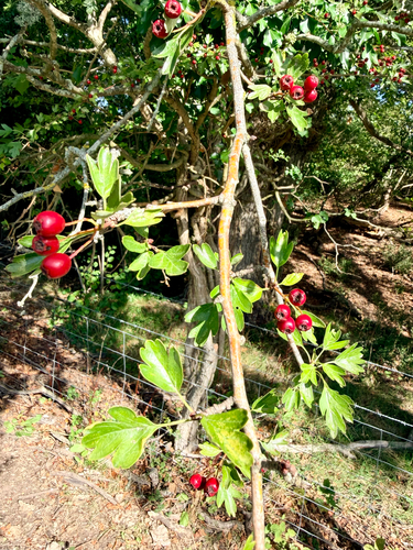
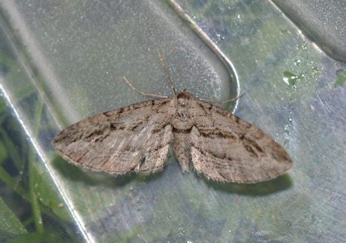
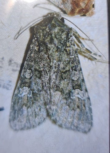
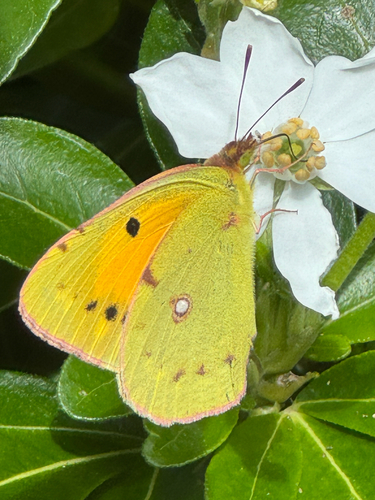
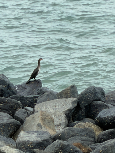
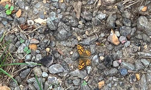
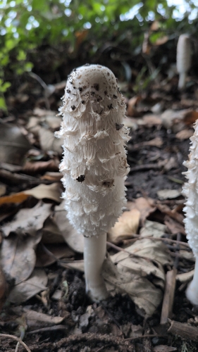
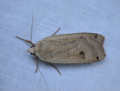
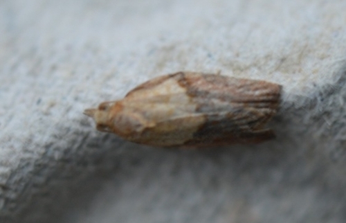
Research-grade observations from iNaturalist (within ~15 mi).
Events
Gallery
Official Identifiers
ONS — UK Office for National Statistics
- ONS code
- osgb4000000074542781
- Local type
- Town
- Region
- South East
api.postcodes.io / OS Open Names
Sources
- • Wikipedia
- • Wikidata
- • USGS Earthquake Catalog (global feed)
- • GBIF (Global Biodiversity Information Facility)
- • iNaturalist
- • Open-Meteo / sunrise-sunset.org
- • Wikipedia Pageviews API
- • Open Library
- • Wikidata SPARQL (CC0) — population, area, elevation, inception, head of government, Commons image
- • ONS / OS Open Names — UK official place gazetteer, via api.postcodes.io (OS code, local type, county/unitary, district/borough, region)
- • ONS — UK Office for National Statistics — api.postcodes.io / OS Open Names