Browse / United Kingdom / England / Seaham
Seaham
Englandtown

Seaham
Demographic figures from UK Office for National Statistics. Overview below cites Wikipedia and may reference a different year.
City facts
Sister cities
Facts from Wikidata (CC0).
Overview
Seaham is a seaside town in County Durham, England. Located on the Durham Coast, Seaham is situated 6 miles south of Sunderland and 13 miles (21 km) east of Durham. The town grew from the late 19th century onwards as a result of investments in its harbour and coal mines. The town is twinned with the German town of Gerlingen.
Read more on WikipediaHistory & geography
History
The original village of Seaham has all but vanished; it lay between St Mary's Church and Seaham Hall (i.e. somewhat to the north of the current town centre). The parish church, St Mary the Virgin, has a nave that some experts believe may date from the 7th century, and that resembles the church at Escomb in many respects. Until the early years of the 19th century, Seaham was a small rural agricultural farming community whose only claim to fame was that the local landowner's daughter, Anne Isabella Milbanke, was married at Seaham Hall to Lord Byron, on 2 January 1815. Byron began writing his Hebrew Melodies at Seaham and they were published in April 1815. It would seem that Byron was bored in wintry Seaham, though the sea enthralled him. As he wrote in a letter to a friend: The marriage was short-lived, producing as its only child the mathematician Ada Lovelace, but it was long enough to have been a drain on the Milbanke estate. The area's fortunes changed when the Milbankes sold out in 1821 to the 3rd Marquess of Londonderry, who built a harbour, in 1828, to facilitate transport of goods from locally encouraged industries (the first coal mine was begun in 1845). However, this harbour later proved inadequate to deal with the millions of tonnes of coal and the 6th Marquess commissioned engineers Patrick Meik and Charles Meik to reclaim land and extend and deepen the dock. It was officially opened in 1905. The harbour is of particular interest because it consists of a series of interconnecting locks, rather than the more typical two wall construction. As early as 1823, the 3rd Marquess had approached the architect John Dobson with a view to his drawing up plans for a town to be built around the harbour. Dobson did so, but the planned approach foundered for lack of…
Excerpted from the corresponding Wikipedia article (CC BY-SA).
Geography
Coordinates & boundaries from the US Census TIGER/Line shapefiles.
Climate
Air quality
Walkability
Amenities nearby
Wildlife & biodiversity
Earthquake history
Photos
Sights & places nearby
Notable people from here


People born within ~10 km, from Wikidata (CC0). Click any name for their Wikipedia article.
Nearby places in England
Geography & sun
Elevation, sunrise/sunset and daylight from Open-Meteo. Solar climatology from NASA POWER.
Nearby airports
Public attention
Pageview totals from the Wikimedia Pageviews API.
Books about Seaham
![[Report 1956]](https://covers.openlibrary.org/b/id/11008277-M.jpg)
![[Report 1964]](https://covers.openlibrary.org/b/id/11796992-M.jpg)
![[Report 1963]](https://covers.openlibrary.org/b/id/11796990-M.jpg)
![[Report 1955]](https://covers.openlibrary.org/b/id/11796989-M.jpg)
![[Report 1970]](https://covers.openlibrary.org/b/id/13402555-M.jpg)
![[Report 1967]](https://covers.openlibrary.org/b/id/13356590-M.jpg)
![[Report 1971]](https://covers.openlibrary.org/b/id/11796287-M.jpg)
![[Report 1966]](https://covers.openlibrary.org/b/id/13424900-M.jpg)
Search results from Open Library.
Recent natural events nearby
Ground air-quality sensors
Recently spotted species
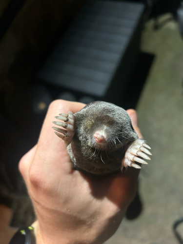
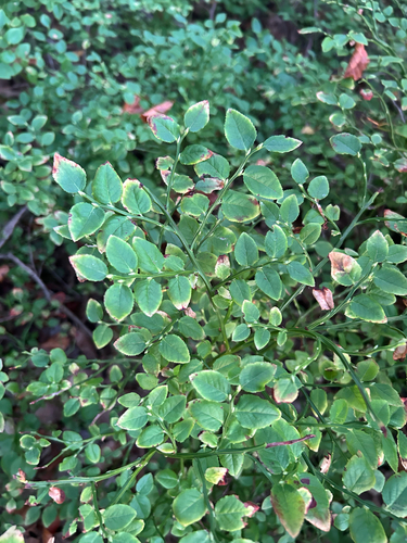
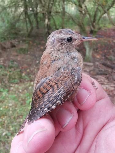
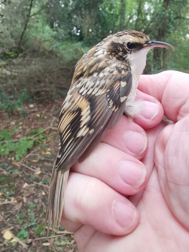
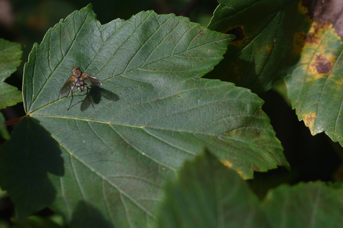
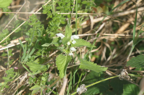
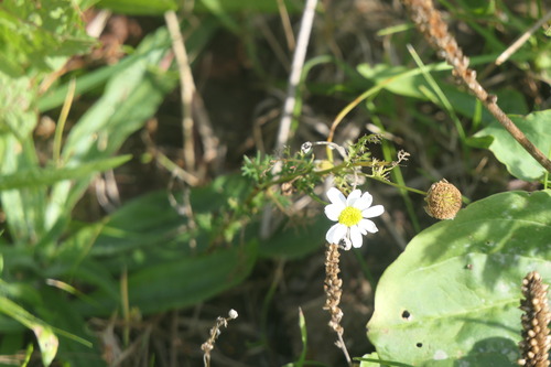
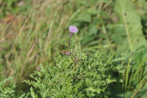
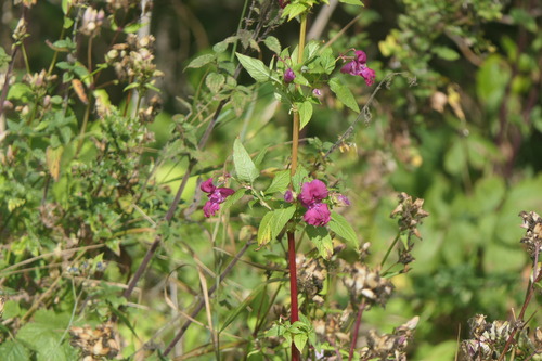
Research-grade observations from iNaturalist (within ~15 mi).
Events
Gallery
Official Identifiers
ONS — UK Office for National Statistics
- ONS code
- osgb4000000074557825
- Local type
- Town
- Region
- North East
api.postcodes.io / OS Open Names
Sources
- • Wikipedia
- • Wikidata
- • iNaturalist
- • Open-Meteo / sunrise-sunset.org
- • Wikipedia Pageviews API
- • Open Library
- • ONS / OS Open Names — UK official place gazetteer, via api.postcodes.io (OS code, local type, county/unitary, district/borough, region)
- • ONS — UK Office for National Statistics — api.postcodes.io / OS Open Names