Browse / United Kingdom / England / Southampton
Southampton
Englandcity

Southampton
Total population
253,651
Air quality index
Demographic figures from UK Office for National Statistics. Overview below cites Wikipedia and may reference a different year.
City facts
Sister cities
Facts from Wikidata (CC0).
Overview
Southampton is a port city and unitary authority in Hampshire, England. It is located approximately 80 miles (130 km) southwest of London, 20 miles (32 km) west of Portsmouth, and 20 miles (32 km) southeast of Salisbury. Southampton had a population of 248,922 at the 2021 census, making it one of the most populous cities in southern England.
Read more on WikipediaHistory & geography
History
Archaeological finds suggest that the area has been inhabited since the Stone Age. Following the Roman invasion of Britain in AD 43 and the conquering of the local Britons in AD 70 the fortress settlement of Clausentum was established. It was an important trading port and defensive outpost of Winchester, at the site of modern Bitterne Manor. Clausentum was defended by a wall and two ditches and is thought to have contained a bath house. Clausentum was not abandoned until around 410. Archaeological excavations of this site have uncovered one of the best collections of Saxon artefacts in Europe. and by the 10th century a fortified settlement, which became medieval Southampton, had been established. Following the Norman Conquest in 1066, Southampton became the major port of transit between the then capital of England, Winchester, and Normandy. Southampton Castle was built in the 12th century By the 13th century Southampton had become a leading port, particularly involved in the import of French wine The Franciscan friary in Southampton was founded circa 1233. The friars constructed a water supply system in 1290, which carried water from Conduit Head (remnants of which survive near Hill Lane, Shirley) some to the site of the friary inside the town walls. Further remains can be observed at Conduit House on Commercial Road. The friars granted use of the water to the town in 1310. For their petition to the King somewhere after 1321 and before 1327 earned some of the people of Southampton a prison sentence at Portchester Castle, possibly for insinuating the king's advisor Hugh le Despenser the Younger acted in conspiracy with the Cinque Port men to damage Southampton, a flourishing port in the fourteenth century. When King Edward III came to the throne, this…
Geography
The geography of Southampton is influenced by the sea and rivers. The city lies at the northern tip of the Southampton Water, a deep water estuary, which is a ria formed at the end of the last Ice Age and which opens into The Solent. At the head of Southampton Water the rivers Test and Itchen converge. The Test — which has a salt marsh that makes it ideal for salmon fishing — runs along the western edge of the city, while the Itchen splits Southampton in two—east and west. The city centre is located between the two rivers. Town Quay is the original public quay, and dates from the 13th century. Today's Eastern Docks were created in the 1830s by land reclamation of the mud flats between the Itchen and Test estuaries. The Western Docks date from the 1930s when the Southern Railway Company commissioned a major land reclamation and dredging programme. Most of the material used for reclamation came from dredging of Southampton Water, to ensure that the port can continue to handle large ships. Southampton Water has the benefit of a double high tide, with two high tide peaks, making the movement of large ships easier. This is not caused as popularly supposed by the presence of the Isle of Wight, but is a function of the shape and depth of the English Channel. In this area the general water flow is distorted by more local conditions reaching across to France. The city lies in the Hampshire Basin, which sits atop chalk beds. is at Mansbridge, where the A27 road crosses the Itchen. The original bridge is closed to road traffic, but is still standing and open to pedestrians and cyclists. The river is bridged again at Swaythling, where Woodmill Bridge separates the tidal and non tidal sections of the river. Further south is Cobden Bridge which is notable as it was opened as a…
Excerpted from the corresponding Wikipedia article (CC BY-SA).
Geography
Coordinates & boundaries from the US Census TIGER/Line shapefiles.
Climate
Air quality
Current readings from Open-Meteo Air Quality API (Copernicus CAMS European reanalysis).
Walkability
Amenities nearby
Wildlife & biodiversity
Most-observed species
- Common Wood-PigeonColumba palumbus Linnaeus, 1758 · Aves14,870
- European RobinErithacus rubecula (Linnaeus, 1758) · Aves13,504
- Eurasian BlackbirdTurdus merula Linnaeus, 1758 · Aves12,274
- Carrion CrowCorvus corone Linnaeus, 1758 · Aves11,997
- Meadow BrownManiola jurtina (Linnaeus, 1758) · Insecta11,670
- Eurasian Blue TitCyanistes caeruleus (Linnaeus, 1758) · Aves11,185
- Eurasian MagpiePica pica (Linnaeus, 1758) · Aves9,853
- Great TitParus major Linnaeus, 1758 · Aves9,248
Citizen-science & research observations from the Global Biodiversity Information Facility (GBIF).
Earthquake history
Most recent
- M 3 — 2019-05-197 km ESE of Swanage, United Kingdom
- M 3.3 — 2019-02-273 km SE of Dorking, United Kingdom
- M 2.8 — 2018-07-051 km S of Ewhurst, United Kingdom
- M 2.6 — 2018-06-275 km W of Capel, United Kingdom
- M 2.7 — 2018-04-014 km E of Holmwood, United Kingdom
- M 2.9 — 2015-01-271 km ENE of Winchester, United Kingdom
Events from the USGS Earthquake Catalog (global) (FDSN Event Web Service).
Photos
Sights & places nearby
Notable people from here


People born within ~10 km, from Wikidata (CC0). Click any name for their Wikipedia article.
Nearby places in England
Geography & sun
Elevation, sunrise/sunset and daylight from Open-Meteo. Solar climatology from NASA POWER.
Nearby airports
Public attention
Pageview totals from the Wikimedia Pageviews API.
Books about Southampton
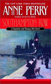
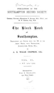
Search results from Open Library.
Recent natural events nearby
Ground air-quality sensors
Recently spotted species
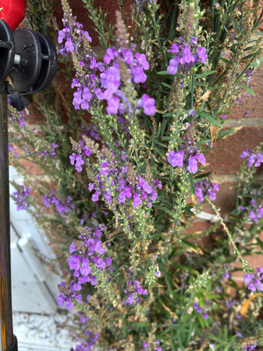
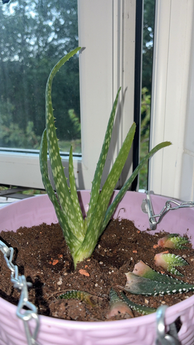
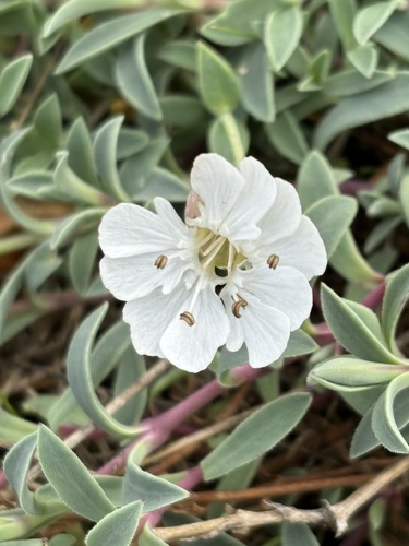
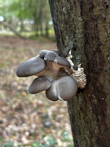
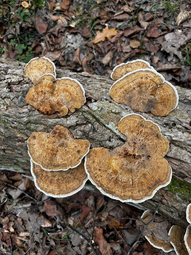


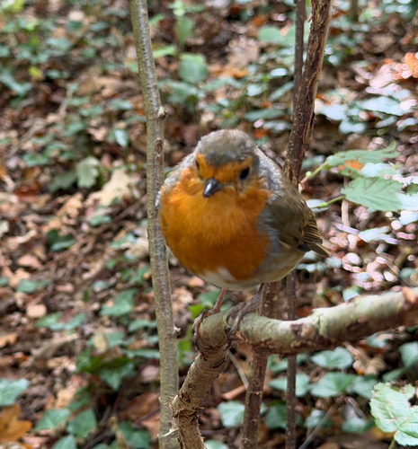
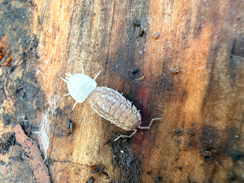
Research-grade observations from iNaturalist (within ~15 mi).
Events
Notable, recurring, and historical events associated with Southampton, sourced from Wikidata.
- 2014 Cyclocross SouthamptonJan 1, 2014sporting event
Source: Wikidata (CC0).
Gallery
Geotagged photos within ~6 miles of Southampton, from Wikimedia Commons contributors.


.jpg)
.jpg)
.jpg)
.jpg)
.jpg)
.jpg)
.jpg)
.jpg)
.jpg)


.jpg)

Photos via Wikimedia Commons — see each image page for license & attribution.
Official Identifiers
ONS — UK Office for National Statistics
- ONS code
- osgb4000000074564709
- Local type
- City
- Region
- South East
api.postcodes.io / OS Open Names
Sources
- • Wikipedia
- • Wikimedia Commons
- • Wikidata
- • Open-Meteo Air Quality (CAMS)
- • USGS Earthquake Catalog (global feed)
- • GBIF (Global Biodiversity Information Facility)
- • iNaturalist
- • Open-Meteo / sunrise-sunset.org
- • Wikipedia Pageviews API
- • Open Library
- • Wikidata SPARQL (CC0) — population, area, elevation, inception, head of government, Commons image
- • ONS / OS Open Names — UK official place gazetteer, via api.postcodes.io (OS code, local type, county/unitary, district/borough, region)
- • ONS — UK Office for National Statistics — api.postcodes.io / OS Open Names