Browse / United Kingdom / England / Whitby
Whitby
Englandtown

Whitby
Demographic figures from UK Office for National Statistics. Overview below cites Wikipedia and may reference a different year.
City facts
Sister cities
Facts from Wikidata (CC0).
Overview
Whitby is a seaside town, port and civil parish in North Yorkshire, England. It is located at the mouth of the River Esk, where the North York Moors meet the Yorkshire Coast, and has a maritime, mineral and tourist economy. It is 47 miles (76 km) from York and 22 miles (35 km) from Middlesbrough.
Read more on WikipediaHistory & geography
History
Whitby was known in the Anglo-Saxon period as Streoneshalh, meaning "Streon's nook of land". The modern name, which first appears in the Domesday Book, means "Hvíta's farmstead", from Old Norse Hvítabýr. A monastery was founded at Streoneshalh in 657 AD by King Oswiu or Oswy of Northumbria, as an act of thanksgiving, after defeating Penda, the pagan king of Mercia. At its foundation, the abbey was an Anglo-Saxon "double monastery" for men and women. Its first abbess, the royal princess Hild, was later venerated as a saint. The abbey became a centre of learning, and here Cædmon the cowherd was "miraculously" transformed into an inspired poet whose poetry is an example of Anglo-Saxon literature. The abbey became the leading royal nunnery of the kingdom of Deira, and the burial-place of its royal family. The Synod of Whitby, in 664, established the Roman date of Easter in Northumbria at the expense of the Celtic one. The monastery was destroyed between 867 and 870 in a series of raids by Vikings from Denmark under their leaders Ingwar and Ubba. Its site remained desolate for more than 200 years until after the Norman Conquest of England in 1066. After the Conquest, the area was granted to William de Percy who, in 1078 donated land to found a Benedictine monastery dedicated to St Peter and St Hilda. William de Percy's gift included land for the monastery, the town and port of Whitby and St Mary's Church and dependent chapels at Fyling, Hawsker, Sneaton, Ugglebarnby, Dunsley, and Aislaby, five mills including Ruswarp, Hackness with two mills and two churches. When the Domesday Book was compiled in 1086, Whitby was recorded being partially waste and a small settlement lying within the Langbaurgh Wapentake of Yorkshire. Further details reveal the state of Whitby's…
Geography
Whitby is situated on the east coast of Yorkshire facing the North Sea in a deep valley at the mouth of the River Esk. It has been a bridging point since at least medieval times and several bridges have spanned the river. The current bridge, built in 1908, is a swing bridge with a span that separates the upper and lower harbours which have a total area of around . The houses are built of brick or stone, often with red pantiled roofs, in narrow, steep streets, on both sides of the river. The town is surrounded on its landward sides by the moorland of the North York Moors National Park and the North Sea abuts it on the seaward side. The coastal areas are designated part of the North Yorkshire and Cleveland Heritage Coast. The harbour and the mouth of the River Esk are on a geological fault. On the east side the cliff is tall, , and consists of alternating layers of shale, sandstone and clay. On the west side the cliff is much lower and has a deep capping of boulder clay over a sandstone base making it less stable and liable to slippage. Both cliffs are being eroded quite rapidly. The town is a coastal stretch known as the Dinosaur Coast or the Fossil Coast, the area is around long and stretches from Staithes in the north and south to Flamborough. At Whitby dinosaur footprints are visible on the beach. The rock strata contain fossils and organic remains including jet. Fossils include the petrified bones of an almost complete crocodile and a specimen of plesiosaurus measuring in length, and in breadth was discovered in 1841. The Rotunda Museum in Scarborough has a comprehensive collection of fossils from the area. Smaller fossils include numerous species of ammonites, or "snake stones", from the Whitby Mudstone Formation (Alum Shale Member) and at Whitby Scar…
Excerpted from the corresponding Wikipedia article (CC BY-SA).
Geography
Coordinates & boundaries from the US Census TIGER/Line shapefiles.
Climate
Air quality
Walkability
Amenities nearby
Wildlife & biodiversity
Earthquake history
Photos
Sights & places nearby
Notable people from here
Nearby places in England
Geography & sun
Elevation, sunrise/sunset and daylight from Open-Meteo. Solar climatology from NASA POWER.
Nearby airports
Public attention
Pageview totals from the Wikimedia Pageviews API.
Books about Whitby
![[Report 1940]](https://covers.openlibrary.org/b/id/13372554-M.jpg)
![[Report 1939]](https://covers.openlibrary.org/b/id/13373421-M.jpg)
![[Report 1941]](https://covers.openlibrary.org/b/id/13366463-M.jpg)

![[Report 1938]](https://covers.openlibrary.org/b/id/13359059-M.jpg)


Search results from Open Library.
Recent natural events nearby
Ground air-quality sensors
Recently spotted species
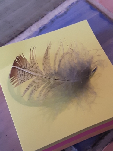
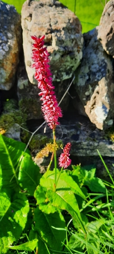
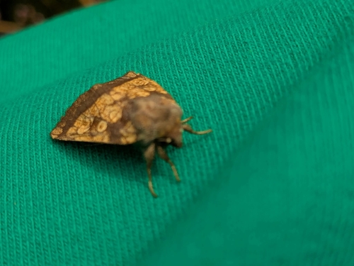
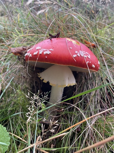
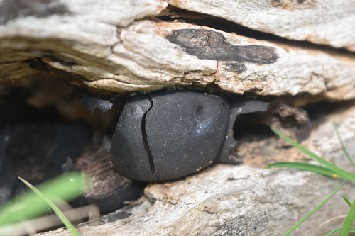
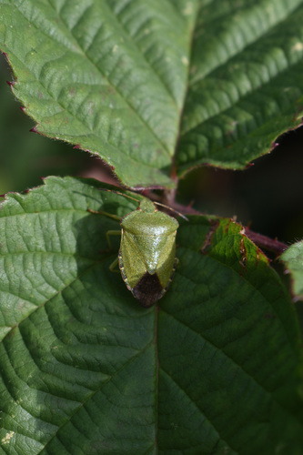
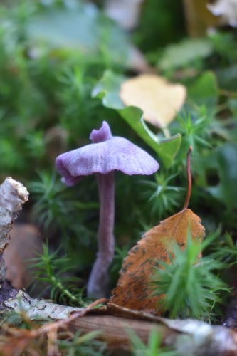
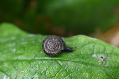
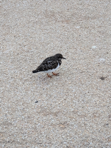
Research-grade observations from iNaturalist (within ~15 mi).
Events
Gallery
Official Identifiers
ONS — UK Office for National Statistics
- ONS code
- osgb4000000074574457
- Local type
- Town
- Region
- Yorkshire and the Humber
api.postcodes.io / OS Open Names
Sources
- • Wikipedia
- • Wikidata
- • iNaturalist
- • Open-Meteo / sunrise-sunset.org
- • Wikipedia Pageviews API
- • Open Library
- • ONS / OS Open Names — UK official place gazetteer, via api.postcodes.io (OS code, local type, county/unitary, district/borough, region)
- • ONS — UK Office for National Statistics — api.postcodes.io / OS Open Names