Browse / United Kingdom / England / Whitworth
Whitworth
Englandtown

Whitworth
Total population
7,500
Demographic figures from UK Office for National Statistics. Overview below cites Wikipedia and may reference a different year.
City facts
Overview
Whitworth is a town and civil parish in Rossendale, Lancashire, England, amongst the foothills of the Pennines between Bacup, to the north, and Rochdale, to the south. It had a population of 7,500 at the 2011 Census.
Read more on WikipediaHistory & geography
History
The early history of Whitworth is unclear; exact dates are difficult to pin down. At the very earliest period, Whitworth was at the edge of the famed and extensive Forest of Rossendale, which covered and reached a point somewhere near Bacup. Flint arrows, stone hammers and spearheads found in the area point to the existence of Mesolithic man who roamed the bleak open moors. Whitworth has a substantial history, notably the Whitworth Doctors who occupied Whitworth House, a property still in existence in Whitworth Square. In those early years, Whitworth came within the ancient parish of Rochdale which, although vast, was itself a part of the hundred of Salford, one of the main divisions into which the historic county boundaries of Lancashire were divided during Norman times. The Abbot of Whalley Abbey held much of the land in this area. The 16th century saw the beginnings of sheep farming, the growth of weaving and eventually the first industry in the area, with coal mining being recorded in the 17th century It was one of the few such roads in East Lancashire and provided a ready means of conveying local goods to Manchester and Yorkshire. The road was of vital importance in Whitworth's industrial expansion and with it, the settlements in the township thus began to grow. By the 19th century, quarrying and coal mining were the chief industries although the manufacture of yarn remained important. Towards the end of the 19th century a great deal of development was visible including the opening in 1881 of a rail link between Bacup and Rochdale. Passenger services on the railway stopped in 1947. Two reservoirs, at Cowm and Spring Mill, were completed in 1877 and 1887 to augment Rochdale's water supplies. The population of Whitworth reached its peak of 9,574 in 1901…
Geography
Situated between the towns of Bacup to the north and Rochdale to the south, the town is built around the Whitworth Valley in the Pennines. In April 1976, an area in and surrounding Healey Dell, at the south end of the valley became legally designated as a statutory local nature reserve. A prominent feature of Healey Dell is the railway viaduct which stands 150 feet above the River Spodden, which rises in the Lancashire Pennine hills above Whitworth and proceeds south through Healey Dell and on to Rochdale, where it merges with the River Roch. Brown Wardle is a hill between Whitworth and the village of Wardle The summit is on the border of Greater Manchester and Lancashire and stands 1,312 ft (400m) above sea level. The hill is part of the South Pennines, lying within the historic county boundaries of Lancashire. Whitworth experiences a temperate maritime climate, like much of the British Isles, with relatively cool summers and mild winters. There is regular but generally light precipitation throughout the year.
Excerpted from the corresponding Wikipedia article (CC BY-SA).
Geography
Coordinates & boundaries from the US Census TIGER/Line shapefiles.
Climate
Air quality
Walkability
Amenities nearby
Wildlife & biodiversity
Most-observed species
- Common Wood-PigeonColumba palumbus Linnaeus, 1758 · Aves7,802
- European RobinErithacus rubecula (Linnaeus, 1758) · Aves7,555
- Eurasian BlackbirdTurdus merula Linnaeus, 1758 · Aves7,364
- Eurasian MagpiePica pica (Linnaeus, 1758) · Aves7,351
- Carrion CrowCorvus corone Linnaeus, 1758 · Aves6,703
- Eurasian Blue TitCyanistes caeruleus (Linnaeus, 1758) · Aves6,436
- Great TitParus major Linnaeus, 1758 · Aves5,851
- MallardAnas platyrhynchos Linnaeus, 1758 · Aves5,684
Citizen-science & research observations from the Global Biodiversity Information Facility (GBIF).
Earthquake history
Most recent
- M 3.4 — 2025-12-030 km ESE of Carnforth, United Kingdom
- M 2.7 — 2023-06-282 km SE of Cheadle, United Kingdom
- M 3.6 — 2022-05-302 km ESE of Prees, United Kingdom
- M 2.6 — 2014-10-282 km NNE of Hucknall, United Kingdom
- M 3.2 — 2013-08-2523 km W of Cleveleys, United Kingdom
- M 3.6 — 2011-01-035 km S of Masham, United Kingdom
Events from the USGS Earthquake Catalog (global) (FDSN Event Web Service).
Photos
Sights & places nearby
Notable people from here


People born within ~10 km, from Wikidata (CC0). Click any name for their Wikipedia article.
Nearby places in England
Geography & sun
Elevation, sunrise/sunset and daylight from Open-Meteo. Solar climatology from NASA POWER.
Nearby airports
Public attention
Pageview totals from the Wikimedia Pageviews API.
Books about Whitworth
![[Report 1949]](https://covers.openlibrary.org/b/id/8198153-M.jpg)
Search results from Open Library.
Recent natural events nearby
Ground air-quality sensors
Recently spotted species
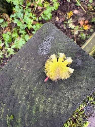
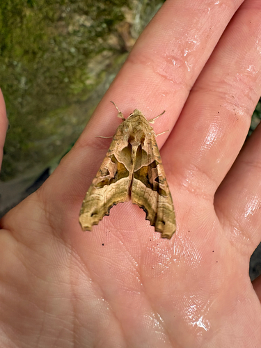
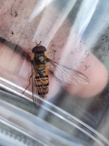
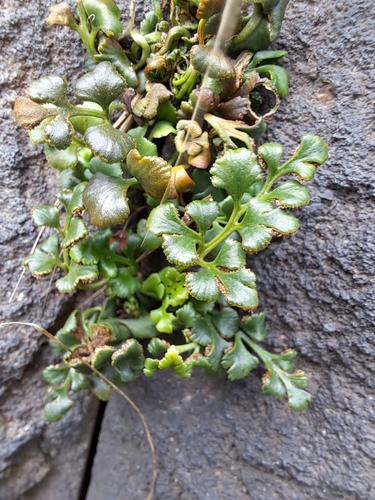
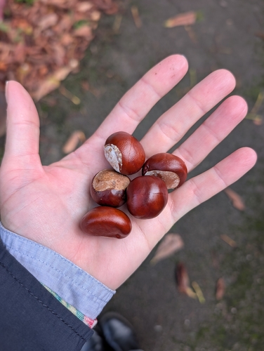
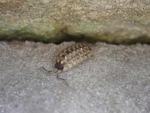
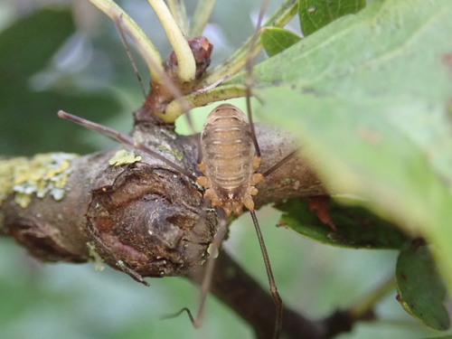
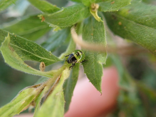
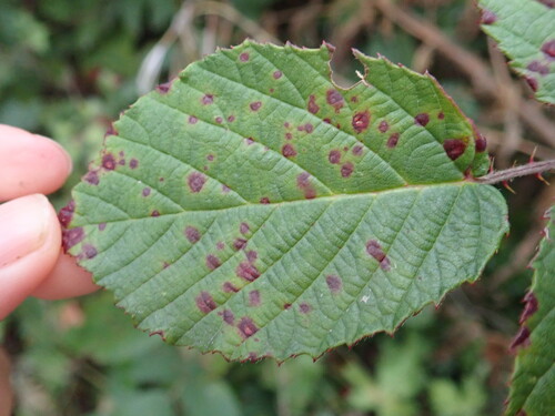
Research-grade observations from iNaturalist (within ~15 mi).
Events
Gallery
Official Identifiers
ONS — UK Office for National Statistics
- ONS code
- osgb4000000074566440
- Local type
- Town
- Region
- North West
api.postcodes.io / OS Open Names
Sources
- • Wikipedia
- • Wikidata
- • USGS Earthquake Catalog (global feed)
- • GBIF (Global Biodiversity Information Facility)
- • iNaturalist
- • Open-Meteo / sunrise-sunset.org
- • Wikipedia Pageviews API
- • Open Library
- • ONS / OS Open Names — UK official place gazetteer, via api.postcodes.io (OS code, local type, county/unitary, district/borough, region)
- • ONS — UK Office for National Statistics — api.postcodes.io / OS Open Names