Browse / United Kingdom / England / Wigginton
Wigginton
Englandvillage

Wigginton
Total population
3,714
Demographic figures from UK Office for National Statistics. Overview below cites Wikipedia and may reference a different year.
City facts
Overview
Wigginton is a village and civil parish in the unitary authority of the City of York in North Yorkshire, England. It is situated 4 miles (6.4 km) north of York. According to the 2001 census the parish had a population of 3,714, reducing to 3,610 at the 2011 Census.
Read more on WikipediaHistory & geography
History
The village name derives from the Old English pre-7th century personal name "Wicga", meaning "a beetle", plus the Old English suffix, "-tun", meaning a "settlement or enclosure, hence "Wigca's settlement". The village was named in the Domesday Book and noted as belonging to the cathedral church of St Peter in York. The name of the village has been recorded as Wichestun in the 11th century and Wygynton in the 13th century. The first recorded owners of the manor were the Askebys, who may have been connected with the neighbouring village of Haxby, and of Roger de Haxbey, who owned nearby land during the reign of Edward I. Hugh de Moresby, Lord of Moresby in Cumberland, was in possession of the manor of Wigginton in 1337. Through inheritance and marriage the manor passed to Anne Pickering and her second husband, Sir Henry Knyvett. She sold the manor with others in 1541 to Henry VIII, but his heir, Edward VI, granted them back to Anne and Henry in 1548.
Geography
The village sits on flat ground consisting mostly of clay with soil that is sand and alluvium. To the west of the village is Westfield Beck. The nearby town of Haxby now merges with Wigginton though the old Parish Boundary map still shows the dividing line. This runs east to west along the back of the houses on Wheatfield Drive on its southern edge as far as Barley Drive. Here it turns northward cutting across Greenshaw Drive until it reaches the road known The Village. The boundary follows this road until it turns west. The boundary at this point continues northward cutting across Windsor Drive near Ripley Grove and then out into the countryside.
Excerpted from the corresponding Wikipedia article (CC BY-SA).
Geography
Coordinates & boundaries from the US Census TIGER/Line shapefiles.
Climate
Air quality
Walkability
Amenities nearby
Wildlife & biodiversity
Earthquake history
Photos
Sights & places nearby
Notable people from here


People born within ~10 km, from Wikidata (CC0). Click any name for their Wikipedia article.
Nearby places in England
Geography & sun
Elevation, sunrise/sunset and daylight from Open-Meteo. Solar climatology from NASA POWER.
Nearby airports
Public attention
Pageview totals from the Wikimedia Pageviews API.
Books about Wigginton

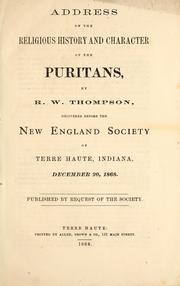

Search results from Open Library.
Recent natural events nearby
Ground air-quality sensors
Recently spotted species
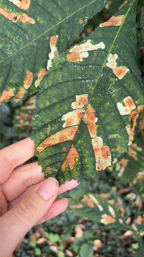
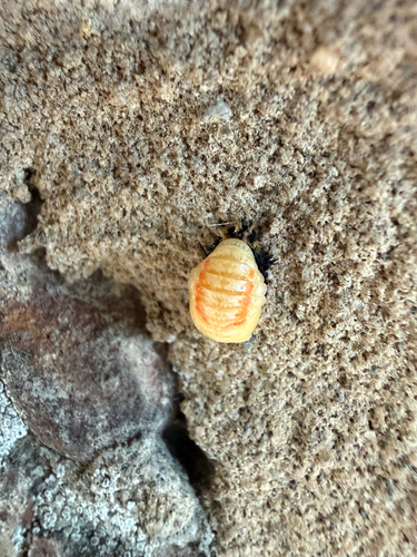
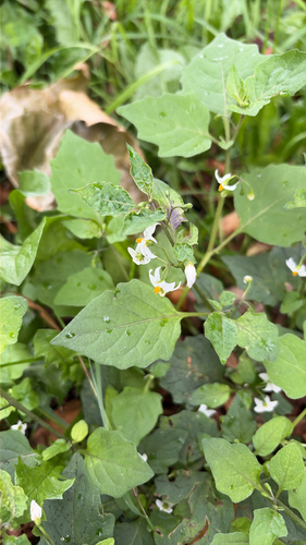
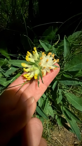
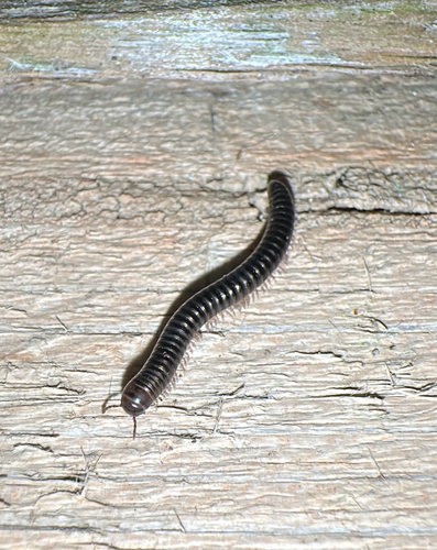
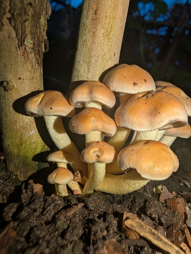
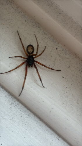
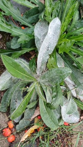

Research-grade observations from iNaturalist (within ~15 mi).
Events
Gallery
Official Identifiers
ONS — UK Office for National Statistics
- ONS code
- osgb4000000074557848
- Local type
- Village
- Region
- Yorkshire and the Humber
api.postcodes.io / OS Open Names
Sources
- • Wikipedia
- • Wikidata
- • iNaturalist
- • Open-Meteo / sunrise-sunset.org
- • Wikipedia Pageviews API
- • Open Library
- • ONS / OS Open Names — UK official place gazetteer, via api.postcodes.io (OS code, local type, county/unitary, district/borough, region)
- • ONS — UK Office for National Statistics — api.postcodes.io / OS Open Names