Browse / United Kingdom / England / Boroughbridge
Boroughbridge
Englandtown

Boroughbridge
Demographic figures from UK Office for National Statistics. Overview below cites Wikipedia and may reference a different year.
City facts
Facts from Wikidata (CC0).
Overview
Boroughbridge is a town and civil parish in North Yorkshire, England. Historically part of the West Riding of Yorkshire, it is 16 miles (26 km) north-west of York. Until a bypass was built the town lay on the main A1 road from London to Edinburgh, which crosses the River Ure here.
Read more on WikipediaHistory & geography
History
The origin of the name 'Boroughbridge' lies in its location relative to Aldborough, the principal settlement during the Roman period and known as Isurium Brigantum. Dere Street, the Roman road heading north from York, originally crossed the River Ure just north of Aldborough, but at an unknown date the road was diverted to cross the river at Boroughbridge. The place was first mentioned in 1155 in the Latin form pontem de Burgo and by 1298 in the English form Burghbrig ('the bridge near Burgh or Aldborough'). A new town grew up at the bridge and the Old Town became known as the 'Ald-Borough'. A line of three menhirs, or standing stones, known as the Devil's Arrows, believed to have been erected in the Bronze Age, can be found on the outskirts of Boroughbridge, by the side of the A1. The tallest stone is tall. The stones are of millstone grit, quarried from Brimham Rocks, about to the west. The stones stand on an almost north–south alignment, with the central stone slightly offset. The first reference to the stones is from the journal of a fisherman, Peter Frankck, who visited Boroughbridge in 1694 and claims he saw seven stones. The antiquarian John Leyland saw four stones, which is the verifiable number. The absent fourth stone stood close to the central stone and was allegedly dug out and broken up by treasure hunters. According to tradition most of it was used to build Peg Bridge, which crosses the River Tutt as it enters the town, and the top of it was to be found in the grounds of Aldborough Hall, which stands between Boroughbridge and Aldborough . However, a 2026 study found that the Battle Cross at Aldborough has the same geological fingerprint as the surviving Arrows, supporting its identification as the repurposed fourth stone. Boroughbridge was not…
Excerpted from the corresponding Wikipedia article (CC BY-SA).
Geography
Coordinates & boundaries from the US Census TIGER/Line shapefiles.
Climate
Air quality
Walkability
Amenities nearby
Wildlife & biodiversity
Most-observed species
- Common Wood-PigeonColumba palumbus Linnaeus, 1758 · Aves3,687
- Eurasian BlackbirdTurdus merula Linnaeus, 1758 · Aves3,234
- European RobinErithacus rubecula (Linnaeus, 1758) · Aves2,844
- MallardAnas platyrhynchos Linnaeus, 1758 · Aves2,822
- Carrion CrowCorvus corone Linnaeus, 1758 · Aves2,676
- Black-headed GullChroicocephalus ridibundus (Linnaeus, 1766) · Aves2,620
- Eurasian Blue TitCyanistes caeruleus (Linnaeus, 1758) · Aves2,596
- Graylag GooseAnser anser (Linnaeus, 1758) · Aves2,596
Citizen-science & research observations from the Global Biodiversity Information Facility (GBIF).
Earthquake history
Most recent
- M 3.4 — 2025-12-030 km ESE of Carnforth, United Kingdom
- M 2.8 — 2020-01-231 km NW of Stockton-on-Tees, United Kingdom
- M 3.6 — 2011-01-035 km S of Masham, United Kingdom
- M 3 — 2009-04-115 km ENE of Goxhill, United Kingdom
- M 2.5 — 2007-08-102 km SW of Failsworth, United Kingdom
- M 3 — 2004-07-055 km WNW of Lund, United Kingdom
Events from the USGS Earthquake Catalog (global) (FDSN Event Web Service).
Photos
Sights & places nearby
Notable people from here
Nearby places in England
Geography & sun
Elevation, sunrise/sunset and daylight from Open-Meteo. Solar climatology from NASA POWER.
Nearby airports
Public attention
Pageview totals from the Wikimedia Pageviews API.
Books about Boroughbridge


Search results from Open Library.
Recent natural events nearby
Ground air-quality sensors
Recently spotted species
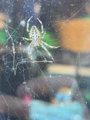
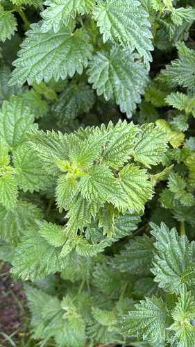
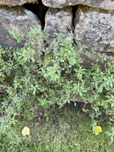
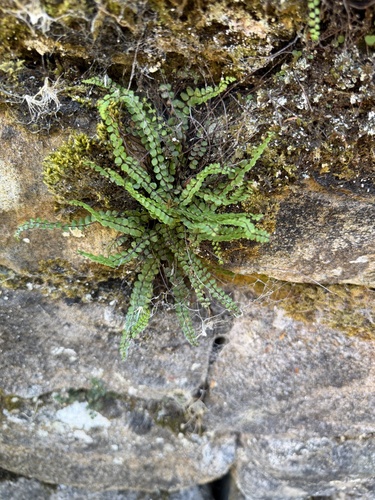
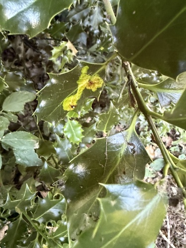
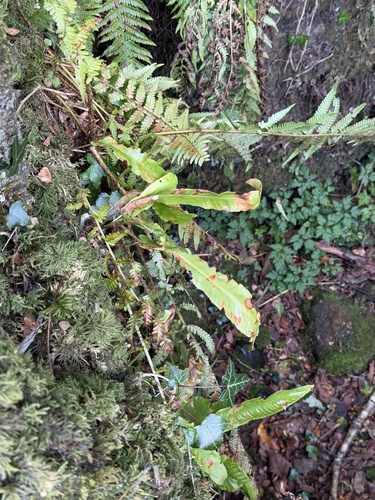
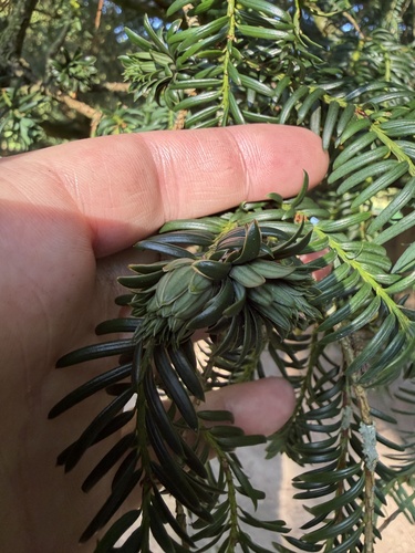
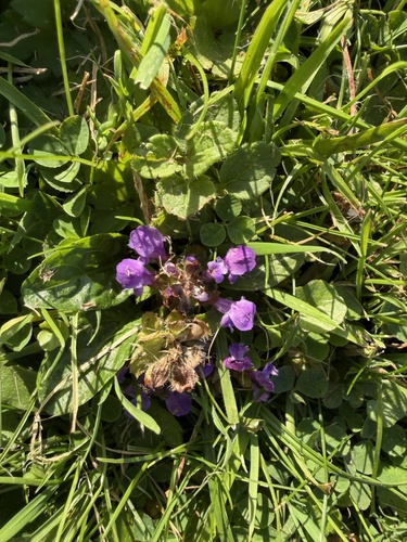
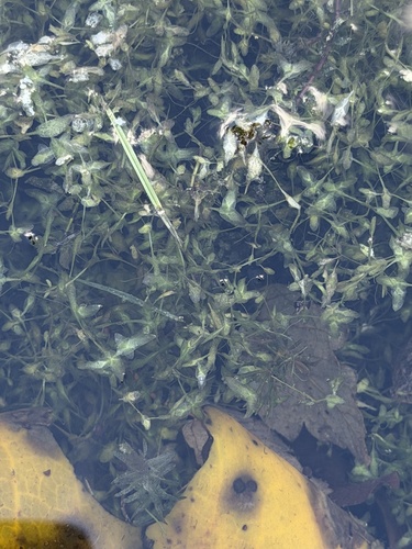
Research-grade observations from iNaturalist (within ~15 mi).
Events
Gallery
Official Identifiers
ONS — UK Office for National Statistics
- ONS code
- osgb4000000074547704
- Local type
- Town
- Region
- Yorkshire and the Humber
api.postcodes.io / OS Open Names
Sources
- • Wikipedia
- • Wikidata
- • USGS Earthquake Catalog (global feed)
- • GBIF (Global Biodiversity Information Facility)
- • iNaturalist
- • Open-Meteo / sunrise-sunset.org
- • Wikipedia Pageviews API
- • Open Library
- • ONS / OS Open Names — UK official place gazetteer, via api.postcodes.io (OS code, local type, county/unitary, district/borough, region)
- • ONS — UK Office for National Statistics — api.postcodes.io / OS Open Names