Browse / United Kingdom / England / Middleham
Middleham
Englandtown

Middleham
Demographic figures from UK Office for National Statistics. Overview below cites Wikipedia and may reference a different year.
City facts
Sister cities
Facts from Wikidata (CC0).
Overview
Middleham is a market town and civil parish in the district and county of North Yorkshire, England. It lies in Wensleydale in the Yorkshire Dales, on the south side of the valley, upstream from the confluence of the River Ure and River Cover. There has been a settlement there since Roman times. It was recorded in the 1086 Domesday Book as Medelai.
Read more on WikipediaHistory & geography
History
Though there is no evidence of civil settlement in the Roman period, a rural villa was discovered in the 19th century some east of the castle, in farmland south of the road to Masham. A branch road from the major Roman thoroughfare of Dere Street passed by, across the valley, through the fort of Wensley to the Roman site of Virosidium at Bainbridge. Before the Norman Conquest, the lands around were controlled by Gilpatrick. In 1069, William the Conqueror granted them to his Breton cousin Alan Rufus, who built a wooden motte-and-bailey castle above the town. By the time of the 1086 Domesday Book, Alan had passed the castle to his brother Ribald. Its earthworks are still visible at William's Hill. Alan also built the castle at Richmond. Construction began in 1190 of Middleham Castle, which still dominates the town. The Nevilles, Earls of Westmorland, acquired it through marriage to a female descendant of Ribald in the 13th century. It has been dubbed the "Windsor of the North". The castle belonged to Richard Neville, 16th Earl of Warwick, when his cousin Richard, Duke of Gloucester (the future Richard III) came there to learn knighthood skills in 1462. During the Wars of the Roses, both Edward IV and Henry VI were held prisoner there. Richard, Duke of Gloucester, became master of the castle in 1471 after Warwick's death at the Battle of Barnet. He used it as his political base for ruling the North on behalf of his brother Edward IV. Richard married Warwick's daughter, Anne Neville, in 1472. Middleham Castle is where their son Edward was born in about 1473 and died in April 1484. Richard III, who died in August 1485 at the Battle of Bosworth, was the last reigning King of England to perish in battle. Under Richard III, Middleham was a bustling market town and…
Excerpted from the corresponding Wikipedia article (CC BY-SA).
Geography
Coordinates & boundaries from the US Census TIGER/Line shapefiles.
Climate
Air quality
Walkability
Amenities nearby
Wildlife & biodiversity
Earthquake history
Photos
Sights & places nearby
Notable people from here


People born within ~10 km, from Wikidata (CC0). Click any name for their Wikipedia article.
Nearby places in England
Geography & sun
Elevation, sunrise/sunset and daylight from Open-Meteo. Solar climatology from NASA POWER.
Nearby airports
Public attention
Pageview totals from the Wikimedia Pageviews API.
Books about Middleham



Search results from Open Library.
Recent natural events nearby
Ground air-quality sensors
Recently spotted species
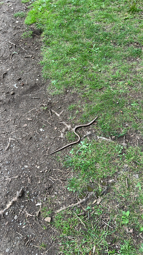
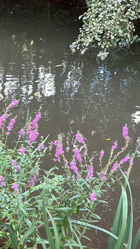
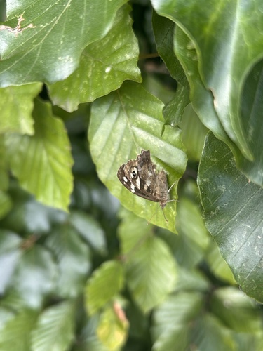
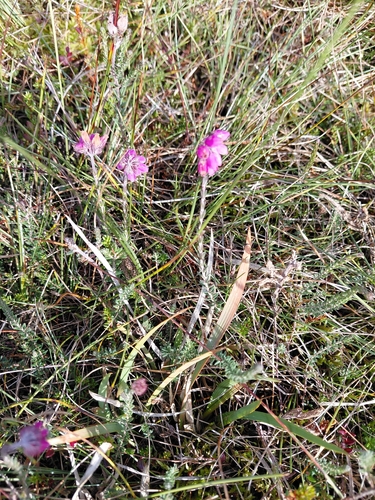
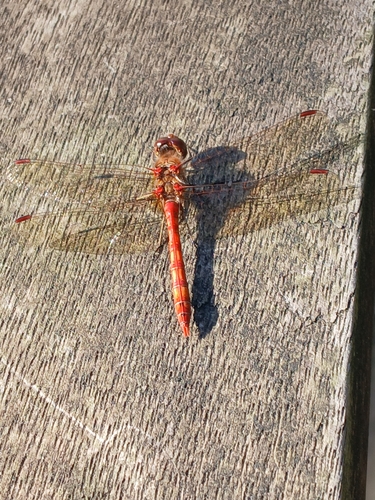
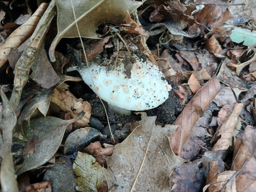
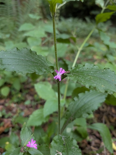
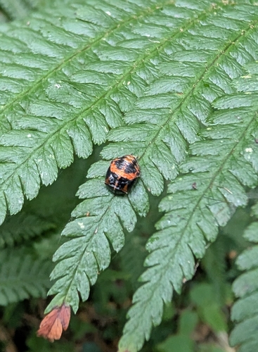
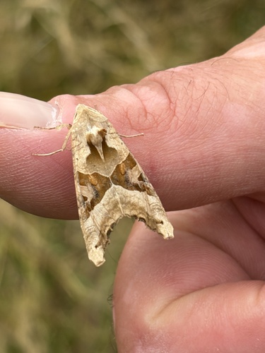
Research-grade observations from iNaturalist (within ~15 mi).
Events
Gallery
Official Identifiers
ONS — UK Office for National Statistics
- ONS code
- osgb4000000074544368
- Local type
- Town
- Region
- Yorkshire and the Humber
api.postcodes.io / OS Open Names
Sources
- • Wikipedia
- • Wikidata
- • iNaturalist
- • Open-Meteo / sunrise-sunset.org
- • Wikipedia Pageviews API
- • Open Library
- • ONS / OS Open Names — UK official place gazetteer, via api.postcodes.io (OS code, local type, county/unitary, district/borough, region)
- • ONS — UK Office for National Statistics — api.postcodes.io / OS Open Names