Browse / United Kingdom / England / York
York
Englandcity

York
Total population
137,000
Demographic figures from UK Office for National Statistics. Overview below cites Wikipedia and may reference a different year.
City facts
Facts from Wikidata (CC0).
Overview
York is a cathedral city in North Yorkshire, England, with Roman origins, sited at the confluence of the rivers Ouse and Foss. It has many historic buildings and other structures, including the minster, castle and city walls, all of which are Grade I listed. It is the traditional county town of Yorkshire, and the administrative centre of the City of York district. It is located 27 miles (43 km) north-east of Leeds, 90 miles (140 km) south of Newcastle upon Tyne and 207 miles (333 km) north of London. York's built-up area had a recorded population of 141,685 at the 2021 census.
Read more on WikipediaHistory & geography
History
Archaeological evidence suggests that Mesolithic people settled in the region of York between 8000 and 7000 BC, although it is not known whether their settlements were permanent or temporary. By the time of the Roman conquest of Britain, the area was occupied by a tribe known to the Romans as the Brigantes. The Brigantian tribal area initially became a Roman client state, but later its leaders became more hostile and the Roman Ninth Legion was sent north of the Humber into Brigantian territory. The city was founded in AD 71, when the Ninth Legion conquered the Brigantes and constructed a wooden military fortress on flat ground above the river Ouse, close to its confluence with the river Foss. The fortress, whose walls were rebuilt in stone by the VI legion based there subsequent to the IX legion, covered an area of and was inhabited by 6,000 legionary soldiers. The site of the principia (headquarters) of the fortress lies under the foundations of York Minster, and excavations in the undercroft have revealed part of the Roman structure and columns. In AD 314, a bishop from York attended the Council at Arles to represent Christians from the province. While the Roman colonia and fortress were on high ground, by AD 400 the town was victim to occasional flooding from the rivers Ouse and Foss, and the population reduced. York declined in the post-Roman era, and was taken and settled by the Angles in the 5th century. Reclamation of parts of the town was initiated in the 7th century under King Edwin of Northumbria, and York became his chief city. The first wooden minster church was built in York for the baptism of Edwin in 627, according to the Venerable Bede. Edwin ordered the small wooden church be rebuilt in stone; however, he was killed in 633, and…
Geography
{| class="wikitable mw-collapsible" ! Place ! Distance ! Direction ! Relation |- | London | | South-east | Capital |- | Lincoln | | South-east | Next nearest historic county town |- | Middlesbrough | | North | Largest place in the county |- | Ripon | | North-west | Next nearest city |- | Leeds | | South-west | Next nearest city |} York lies in the Vale of York, a flat area of fertile arable land bordered by the Pennines, the North York Moors and the Yorkshire Wolds. The city was built at the confluence of the Rivers Ouse and Foss on a terminal moraine left by the last ice age. During Roman times, the land surrounding the Ouse and Foss was marshy, making the site easy to defend. The city is prone to flooding from the River Ouse, and has an extensive network of flood defences with walls along the river, and a liftable barrier across the Foss where it joins the Ouse at the "Blue Bridge". In October and November 2000, York experienced the worst flooding in 375 years; more than 300 homes were flooded. In December 2015, the flooding was more extensive and caused major disruption. The extreme impact led to a personal visit by Prime Minister David Cameron. Much land in and around the city is on flood plains too flood-prone for development other than agriculture. The ings are flood meadows along the Ouse, while the strays are open common grassland in various locations around the city. York has a temperate oceanic climate (Cfb) with four distinct seasons. As with the rest of the Vale of York, the city's climate is drier and warmer than the rest of the Yorkshire and the Humber region. Owing to its lowland location, York is prone to frosts, fog, and cold winds during winter, spring, and very early summer. Snow can fall in winter from December onwards to as late as April…
Excerpted from the corresponding Wikipedia article (CC BY-SA).
Geography
Coordinates & boundaries from the US Census TIGER/Line shapefiles.
Climate
Air quality
Walkability
Amenities nearby
Wildlife & biodiversity
Earthquake history
Photos
Sights & places nearby
Notable people from here


People born within ~10 km, from Wikidata (CC0). Click any name for their Wikipedia article.
Nearby places in England
Geography & sun
Elevation, sunrise/sunset and daylight from Open-Meteo. Solar climatology from NASA POWER.
Nearby airports
Public attention
Pageview totals from the Wikimedia Pageviews API.
Books about York

Search results from Open Library.
Recent natural events nearby
Ground air-quality sensors
Recently spotted species
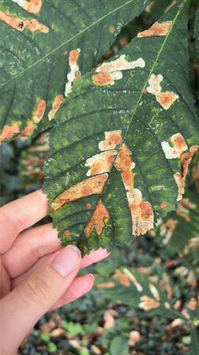
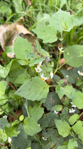
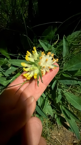
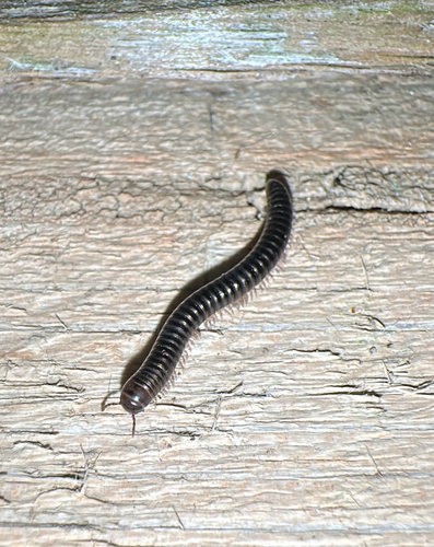

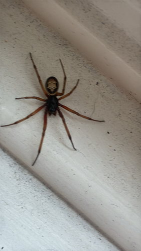
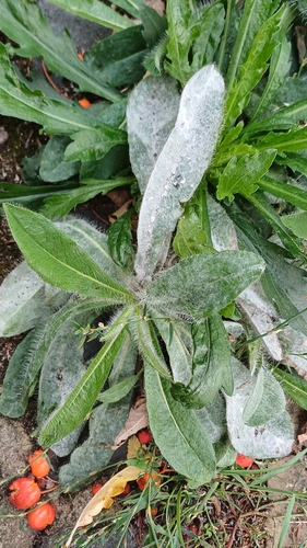

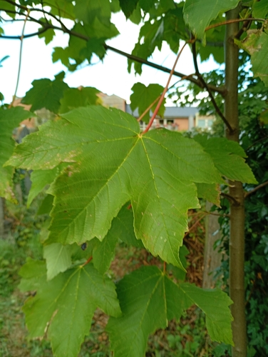
Research-grade observations from iNaturalist (within ~15 mi).
Events
Gallery
Official Identifiers
ONS — UK Office for National Statistics
- ONS code
- osgb4000000074557107
- Local type
- City
- Region
- Yorkshire and the Humber
api.postcodes.io / OS Open Names
Sources
- • Wikipedia
- • Wikidata
- • iNaturalist
- • Open-Meteo / sunrise-sunset.org
- • Wikipedia Pageviews API
- • Open Library
- • Wikidata SPARQL (CC0) — population, area, elevation, inception, head of government, Commons image
- • ONS / OS Open Names — UK official place gazetteer, via api.postcodes.io (OS code, local type, county/unitary, district/borough, region)
- • ONS — UK Office for National Statistics — api.postcodes.io / OS Open Names