Browse / United States / Washington / Oak Harbor
Oak Harbor
Washingtoncity

Oak Harbor
Total population
24,362
Median home value
$461,200
Bachelor's+
Median income
$76,084
Founded
1915
Air quality index
Demographic figures from US Census Bureau · ACS 5-year estimates. Overview below cites Wikipedia and may reference a different year.
City facts
Facts from Wikidata (CC0).
Overview
Oak Harbor is a city located on Northern Whidbey Island in Island County, Washington, United States. The population was 24,622 at the 2020 census. Oak Harbor was incorporated on May 14, 1915.
Read more on WikipediaHistory & geography
History
The Lower Skagit people have inhabited Oak Harbor () and the nearby Crescent Harbor () There were several villages in the vicinity, and the modern settlement of Oak Harbor was built over one such village. Irish and Dutch immigrants also arrived and settled in the area. Oak Harbor was named for the area's Garry Oak trees and was incorporated in 1915 with a population of 401. Houses and businesses sprouted up along the shores of Oak Harbor as the pioneers relied entirely on water transportation until the 1900s. For the next 30 years, steamers and freighters carried passengers and freight from the Island to the mainland and back as well as Fidalgo Island to the north. The city grew following the completion of Deception Pass Bridge on July 31, 1935, and Naval Air Station Whidbey Island on September 21, 1942. The bridge, which linked Whidbey Island to Fidalgo Island and the mainland, was a Public Works Administration project built by the Civilian Conservation Corps. A nearby state park with of forest, campsites, and trails was also developed.
Geography
According to the United States Census Bureau, the city has a total area of , of which is land and is water. Access to the island by land is only available by driving through Deception Pass. Other ways to travel to Whidbey Island include flying or utilizing a ferry service. The Mukilteo–Clinton ferry provides service connecting the southern end of Whidbey Island to the area immediately north of Seattle, while the Coupeville-Port Townsend ferry connects to the Olympic peninsula. Surveys of shorelines throughout the Puget Sound region have indicated that 58% are "unstable". Average retreat rates range from one to eight centimeters per year and shores in the Puget Sound area, composed of unconsolidated sediment, erode 10 to 100 times faster than rocky shoreline. Oak Harbor has a Mediterranean climate (Köppen Csb) characterized by warm, dry summers and cold, though not severe, damp winters. Due to the Olympic rain shadow, the region is much drier than most of the Pacific Northwest west of the Cascades.
Excerpted from the corresponding Wikipedia article (CC BY-SA).
Demographics & economy
Race & ethnicity
Source: US Census Bureau — American Community Survey, 5-year estimates.
Geography
Coordinates & boundaries from the US Census TIGER/Line shapefiles.
Climate
Current forecast
Forecast for Oak Harbor, WA from NOAA NWS API.
Air quality
Current readings from Open-Meteo Air Quality API (Copernicus CAMS European reanalysis).
Industrial & pollution facilities
Natural hazard risk
Health (adults)
Age-adjusted prevalence estimates from CDC PLACES (latest release).
Walkability
Amenities nearby
Wildlife & biodiversity
Most-observed species
- Bald EagleHaliaeetus leucocephalus (Linnaeus, 1766) · Aves20,509
- Song SparrowMelospiza melodia (A.Wilson, 1810) · Aves18,313
- Great Blue/Cocoi HeronArdea herodias Linnaeus, 1758 · Aves17,810
- American RobinTurdus migratorius Linnaeus, 1766 · Aves16,537
- MallardAnas platyrhynchos Linnaeus, 1758 · Aves14,353
- American CrowCorvus brachyrhynchos C.L.Brehm, 1822 · Aves12,749
- Spotted TowheePipilo maculatus Swainson, 1827 · Aves11,820
- Glaucous-winged GullLarus glaucescens J.F.Naumann, 1840 · Aves11,469
Citizen-science & research observations from the Global Biodiversity Information Facility (GBIF).
Schools
Largest nearby schools
- Oak Harbor High SchoolHigh · Oak Harbor · 1,566 students · 18:1 ratio
- Oak Harbor Intermediate SchoolMiddle · Oak Harbor · 768 students · 14.8:1 ratio
- North Whidbey Middle SchoolMiddle · Oak Harbor · 721 students · 16:1 ratio
- Hillcrest ElementaryElementary · Oak Harbor · 502 students · 16.2:1 ratio
- Coupeville Elementary SchoolElementary · Coupeville · 491 students · 18.2:1 ratio
- Crescent Harbor ElemElementary · Oak Harbor · 481 students · 14.6:1 ratio
- Olympic View ElemElementary · Oak Harbor · 443 students · 13.4:1 ratio
- Broad View ElementaryElementary · Oak Harbor · 380 students · 14.1:1 ratio
Public K–12 schools within ~10 mi from Urban Institute Education Data Portal (NCES Common Core of Data, 2022).
Earthquake history
Most recent
- M 2.5 — 2026-06-2611 km E of Carnation, Washington
- M 2.86 — 2026-06-082 km ESE of Oak Harbor, Washington
- M 2.56 — 2026-05-297 km ENE of Ferndale, Washington
- M 2.54 — 2026-05-074 km WSW of Concrete, Washington
- M 2.7 — 2026-04-275 km N of Anacortes, Washington
- M 2.5 — 2026-04-123 km WSW of Concrete, Washington
Events from the USGS Earthquake Catalog (global) (FDSN Event Web Service).
Photos
Sights & places nearby
Notable people from here


People born within ~10 km, from Wikidata (CC0). Click any name for their Wikipedia article.
Nearby places in Washington
Geography & sun
Elevation, sunrise/sunset and daylight from Open-Meteo. Solar climatology from NASA POWER.
Nearby airports
Public attention
Pageview totals from the Wikimedia Pageviews API.
Books about Oak Harbor

Search results from Open Library.
Recent natural events nearby
- CHESTNUT Wildfire, Chelan, WashingtonWildfires · 2026-06-06 · 125 mi
- Omak Lake Road Wildfire, Okanogan, WashingtonWildfires · 2026-06-16 · 148 mi
- Kartar Wildfire, Okanogan, WashingtonWildfires · 2026-06-16 · 149 mi
- 4170 Tule Rd Wildfire, Yakima, WashingtonWildfires · 2026-06-14 · 177 mi
- HAYSTACK BUTTE Wildfire, Klickitat, WashingtonWildfires · 2026-05-30 · 198 mi
- COUNTRY MEADOW Wildfire, Benton, WashingtonWildfires · 2026-05-23 · 213 mi
- JUNIPER DUNES Wildfire, Franklin, WashingtonWildfires · 2026-06-14 · 221 mi
- TWIN SISTERS Wildfire, Walla Walla, WashingtonWildfires · 2026-06-14 · 233 mi
Wildfires, storms and other events from NASA EONET (last 12 months, within 250 mi).
Ground air-quality sensors
Recently spotted species
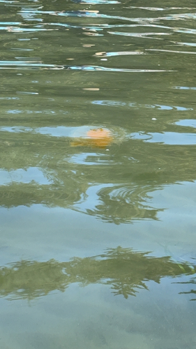
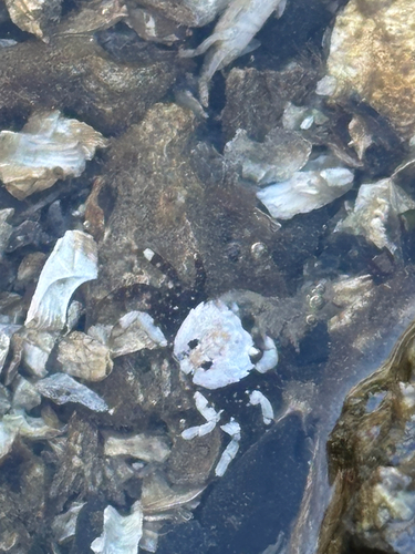
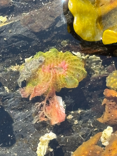
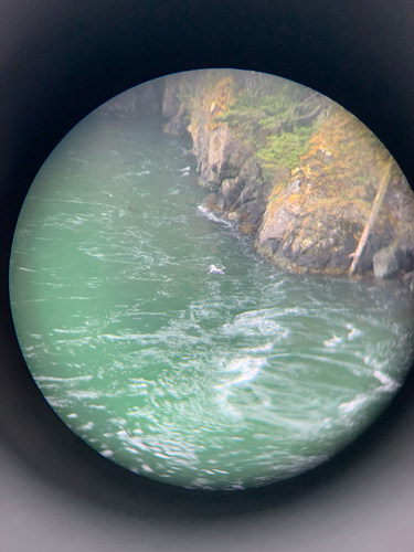
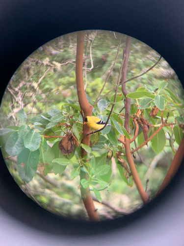
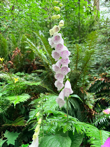
Research-grade observations from iNaturalist (within ~15 mi).
Nearest stream gauge
Live readings from USGS NWIS · measured 2026-06-27 13:00 UTC.
Events
Gallery
Geotagged photos within ~6 miles of Oak Harbor, from Wikimedia Commons contributors.
 0.2 mi
 0.2 mi
.jpg) 0.6 mi
0.6 mi 0.7 mi
 0.8 mi
 0.9 mi
.jpg) 0.9 mi
0.9 mi 1 mi
1 mi 1.1 mi
 1.2 mi
 1.2 mi
.jpg) 1.2 mi
1.2 mi.jpg) 1.3 mi
1.3 mi.jpg) 1.4 mi
1.4 mi.jpg) 1.4 mi
1.4 mi.jpg) 1.4 mi
1.4 mi.jpg) 1.4 mi
1.4 mi.jpg) 1.4 mi
1.4 mi.jpg) 1.4 mi
1.4 mi.jpg) 1.4 mi
1.4 mi.jpg) 1.4 mi
1.4 mi.jpg) 1.4 mi
1.4 mi.jpg) 1.4 mi
1.4 mi.jpg) 1.4 mi
1.4 miPhotos via Wikimedia Commons — see each image page for license & attribution.
Sources
- • Wikipedia
- • US Census Bureau (ACS 5-year estimates)
- • NOAA National Weather Service
- • Wikimedia Commons
- • Wikidata
- • Open-Meteo Air Quality (CAMS)
- • USGS Earthquake Catalog (global feed)
- • USGS NWIS (water data)
- • NCES via Urban Institute Education Data Portal
- • GBIF (Global Biodiversity Information Facility)
- • iNaturalist
- • CDC PLACES
- • Open-Meteo / sunrise-sunset.org
- • Wikipedia Pageviews API
- • Open Library
- • NASA EONET