Browse / United States / Washington / Oakville
Oakville
Washingtoncity

Oakville
Total population
878
Median home value
$230,800
Bachelor's+
Median income
$63,893
Founded
1905
Demographic figures from US Census Bureau · ACS 5-year estimates. Overview below cites Wikipedia and may reference a different year.
City facts
Facts from Wikidata (CC0).
Overview
Oakville is a city in Grays Harbor County, Washington, United States. It was incorporated in 1905, with booming lumber, railway, and farming industries creating the early foundation of the community. The population was 715 at the 2020 census.
Read more on WikipediaHistory & geography
History
In 1818, the United States and Great Britain agreed to a treaty of joint occupancy in the Oregon Country, which included the land that would eventually become Oakville, Washington. Over the next several decades, citizens of the United States began to settle in the area. As traveling by boat was easier than moving through the dense forests, many used the river system, entering from the port of Grays Harbor and canoeing inland via the Chehalis River. The British government gave full ownership of the area to the United States in 1846. Around 1890, Northern Pacific Railway was laying tracks through the city. Oakville was officially incorporated on December 18, 1905. In 1909, a report by the Railroad Commission of Washington described Oakville: "Oakville is a town of about 400 inhabitants, located on the line of the Northern Pacific trailer in the center of an important lumbering and taking district. The timber resources of this section are of immense value and the bottom lands are well adapted to general farming. Oakville is a growing town and will develop more rapidly as the resources of the surrounding district are more thoroughly exploited." The city was "noted for large shipments of cascara bark." Factories were also part of the city's economy, with the E.H. Hilton & Co. Oiled Clothes Factory in operation by 1915, and the Oakville Co-Operative Cheese Company incorporating a few years later. It is said to be the last bank in Washington to be robbed by a rider on horseback. The city's librarian Clara Trudgeon had been appointed by the State Traveling Library by 1908, making Oakville eligible to be a recipient of one of the 150 cases of books the state had in rotation. By 1919, the city had an active community center, and the high school had received accreditation as a…
Geography
According to the United States Census Bureau, the city has a total area of , all of it land. Oakville is on the northern shore of the Chehalis River, just downstream from the convergence of the Chehalis and Black rivers. This is an area subject to annual flooding, with major floods occurring most recently in 2007 and 1996. Both of these floods were federally declared disasters due to the extensive damage to human life, livestock, and property in the region. In 2016, the Chehalis River Basin Flood Authority authorized $55,000 to be used to collect data, geography, and history on the flooding in the city, which reports indicated to be affecting approximately 35 homes and causing on average three road closures per event, with this flooding occurring typically twice a year. To its north, Oakville is bordered by the hills of the Capitol State Forest. The area is filled with hills, valleys, rivers, and dense forests. According to the Köppen Climate Classification system, Oakville has a warm-summer Mediterranean climate, abbreviated "Csb" on climate maps.
Excerpted from the corresponding Wikipedia article (CC BY-SA).
Demographics & economy
Race & ethnicity
Source: US Census Bureau — American Community Survey, 5-year estimates.
Geography
Coordinates & boundaries from the US Census TIGER/Line shapefiles.
Climate
Current forecast
Forecast for Oakville, WA from NOAA NWS API.
Air quality
Industrial & pollution facilities
Natural hazard risk
Health (adults)
Age-adjusted prevalence estimates from CDC PLACES (latest release).
Walkability
Amenities nearby
Wildlife & biodiversity
Most-observed species
- American RobinTurdus migratorius Linnaeus, 1766 · Aves2,884
- Song SparrowMelospiza melodia (A.Wilson, 1810) · Aves2,582
- Dark-eyed JuncoJunco hyemalis (Linnaeus, 1758) · Aves1,925
- European StarlingSturnus vulgaris Linnaeus, 1758 · Aves1,920
- Spotted TowheePipilo maculatus Swainson, 1827 · Aves1,890
- Common RavenCorvus corax Linnaeus, 1758 · Aves1,881
- Northern FlickerColaptes auratus (Linnaeus, 1758) · Aves1,831
- American CrowCorvus brachyrhynchos C.L.Brehm, 1822 · Aves1,783
Citizen-science & research observations from the Global Biodiversity Information Facility (GBIF).
Schools
Largest nearby schools
- Oakville High SchoolHigh · OAKVILLE · 154 students · 12.8:1 ratio
- Oakville ElementaryElementary · OAKVILLE · 153 students · 11.8:1 ratio
- Oakville Homelink Alternative SchoolOther · Oakville · 18 students
- Oakville PreschoolOther · Oakville · 16 students · 16:1 ratio
Public K–12 schools within ~10 mi from Urban Institute Education Data Portal (NCES Common Core of Data, 2022).
Earthquake history
Most recent
- M 2.84 — 2026-05-274 km W of Wauna, Washington
- M 2.52 — 2026-03-177 km SE of Mineral, Washington
- M 2.86 — 2026-03-112 km W of Home, Washington
- M 2.6 — 2026-01-251 km ENE of Enetai, Washington
- M 2.82 — 2025-12-255 km W of Gorst, Washington
- M 2.65 — 2025-12-195 km WSW of Pe Ell, Washington
Events from the USGS Earthquake Catalog (global) (FDSN Event Web Service).
Photos
Sights & places nearby
Notable people from here
People born within ~10 km, from Wikidata (CC0). Click any name for their Wikipedia article.
Nearby places in Washington
- Centralia14.9 mi away · pop. 18,830
- Bucoda17.5 mi away · pop. 494
- Tanglewilde25.8 mi away
- Winlock28 mi away
- Aberdeen28.8 mi away · pop. 17,088
- Nisqually Indian Community29.2 mi away · pop. 628
- Aberdeen Gardens29.7 mi away
- Home36.6 mi away · pop. 1,665
- Tokeland36.6 mi away · pop. 122
- Steilacoom37.8 mi away · pop. 6,686
- Fox Island39.9 mi away · pop. 3,414
- McChord AFB40.4 mi away · pop. 2,999
Geography & sun
Elevation, sunrise/sunset and daylight from Open-Meteo. Solar climatology from NASA POWER.
Nearby airports
Public attention
Pageview totals from the Wikimedia Pageviews API.
Books about Oakville


Search results from Open Library.
Recent natural events nearby
- Wildfire KING, Kittitas, WashingtonWildfires · 2026-08-19 · 103 mi
- Wildfire GOAT, Kittitas, WashingtonWildfires · 2026-08-22 · 111 mi
- Wildfire Austin Non-Stat, Clackamas, OregonWildfires · 2026-08-12 · 140 mi
- Wildfire AUSTIN, Clackamas, OregonWildfires · 2026-08-09 · 140 mi
- Wildfire Electric, Whatcom, WashingtonWildfires · 2026-08-22 · 151 mi
- Wildfire Colwash, Yakima, WashingtonWildfires · 2026-08-22 · 152 mi
- Wildfire SISI, Chelan, WashingtonWildfires · 2026-08-14 · 153 mi
- Wildfire Thunder Creek, Skagit, WashingtonWildfires · 2026-08-22 · 156 mi
Wildfires, storms and other events from NASA EONET (last 12 months, within 250 mi).
Ground air-quality sensors
Recently spotted species
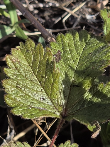
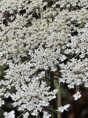
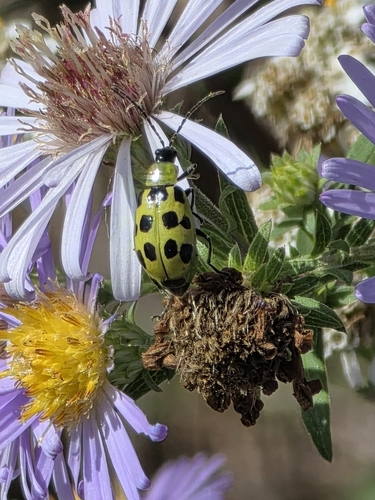
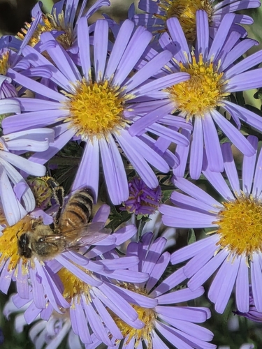
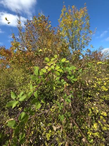
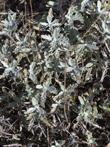
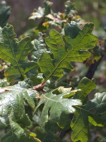
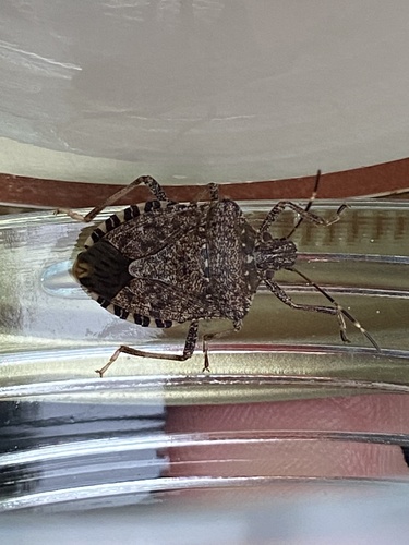
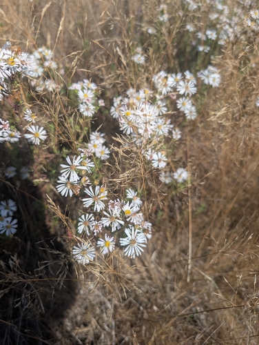
Research-grade observations from iNaturalist (within ~15 mi).
Nearest stream gauge
Events
Gallery
Sources
- • Wikipedia
- • US Census Bureau (ACS 5-year estimates)
- • NOAA National Weather Service
- • Wikidata
- • USGS Earthquake Catalog (global feed)
- • NCES via Urban Institute Education Data Portal
- • GBIF (Global Biodiversity Information Facility)
- • iNaturalist
- • CDC PLACES
- • Open-Meteo / sunrise-sunset.org
- • Wikipedia Pageviews API
- • Open Library
- • NASA EONET