Browse / United States / Wisconsin / Hales Corners
Hales Corners
Wisconsinvillage

Hales Corners
Total population
7,689
Median home value
$309,800
Bachelor's+
Median income
$87,740
Demographic figures from US Census Bureau · ACS 5-year estimates. Overview below cites Wikipedia and may reference a different year.
- Beach Hazards Statement · ModerateBeach Hazards Statement issued September 18 at 12:16AM CDT until September 18 at 2:00PM CDT by NWS Milwaukee/Sullivan WI
Source: NOAA National Weather Service.
City facts
Facts from Wikidata (CC0).
Overview
Hales Corners is a village in Milwaukee County, Wisconsin, United States. The population was 7,720 at the 2020 census. A suburb of Milwaukee, it is part of the Milwaukee metropolitan area.
Read more on WikipediaHistory & geography
History
The land in the area that would eventually encompass the Village was first claimed as French, then British, and eventually as the Northwest Territory of the United States in 1783. It was the land of the Potawatomi Indians until they were forced to move from their land in 1838. They were the dominant tribe in southeast Wisconsin with large villages. Like the Europeans that arrived later, they planted crops, but theirs were beans, squash, and corn. By engaging in the fur trade, the Potawatomi learned to speak French and English, and they eventually intermarried with the Europeans. During the 1830s and 1840s, more settlers arrived, starting with a number of New England families. Among them were three Hale families, whose lineage has been charted to England in the 1200s. Hales Corners traces its history back to 1837, when brothers Seneca and William Hale each laid claim to 160 acres of land at the site. Their father, Ebenezer Hale, arrived later and purchased another 160 acres. The three Hales at that time owned three of the four corners at the intersection of the roads now known as Janesville Road and 108th Street (Wisconsin Highway 100). The area was first referred to as "Hale's Corners" in reference to William Hale, who had become the first postmaster at the settlement in 1854. The apostrophe was later dropped. Hales Corners was the site of monthly fairs begun in the mid-1800s, when the plank road between Janesville and Milwaukee passed through the village. First a gathering of horse traders, the fairs became a stock market for farmers trading pigs, cattle, and sheep. The settlement was incorporated as a village on January 30, 1952.
Geography
Hales Corners is located in southwestern Milwaukee County. It is bounded by Greenfield on the north, Greendale on the east, Franklin on the south, and New Berlin and Muskego in Waukesha County on the west. According to the United States Census Bureau, the village has a total area of , of which is land and is water. The mean elevation is .
Excerpted from the corresponding Wikipedia article (CC BY-SA).
Demographics & economy
Race & ethnicity
Source: US Census Bureau — American Community Survey, 5-year estimates.
Geography
Coordinates & boundaries from the US Census TIGER/Line shapefiles.
Climate
Current forecast
Forecast for Hales Corners, WI from NOAA NWS API.
Air quality
Industrial & pollution facilities
Natural hazard risk
Health (adults)
Age-adjusted prevalence estimates from CDC PLACES (latest release).
Walkability
Amenities nearby
Wildlife & biodiversity
Most-observed species
- American RobinTurdus migratorius Linnaeus, 1766 · Aves42,000
- Northern CardinalCardinalis cardinalis (Linnaeus, 1758) · Aves39,849
- Black-capped ChickadeePoecile atricapillus (Linnaeus, 1766) · Aves35,479
- American GoldfinchSpinus tristis (Linnaeus, 1758) · Aves32,375
- House SparrowPasser domesticus (Linnaeus, 1758) · Aves31,116
- Mourning DoveZenaida macroura (Linnaeus, 1758) · Aves30,367
- Red-winged BlackbirdAgelaius phoeniceus (Linnaeus, 1766) · Aves30,057
- MallardAnas platyrhynchos Linnaeus, 1758 · Aves29,745
Citizen-science & research observations from the Global Biodiversity Information Facility (GBIF).
Schools
Largest nearby schools
- Oak Creek HighHigh · Oak Creek · 2,168 students · 17.9:1 ratio
- Franklin HighHigh · Franklin · 1,571 students · 16.9:1 ratio
- Hamilton HighHigh · Milwaukee · 1,439 students · 14.2:1 ratio
- Milwaukee Academy of ScienceOther · Milwaukee · 1,401 students · 20.3:1 ratio
- Reagan College Preparatory HighHigh · Milwaukee · 1,343 students · 22:1 ratio
- Nathan Hale HighHigh · West Allis · 1,261 students · 16.8:1 ratio
- Greenfield HighHigh · Greenfield · 1,157 students · 14.5:1 ratio
- Forest Park MiddleMiddle · Franklin · 1,084 students · 15.3:1 ratio
Public K–12 schools within ~10 mi from Urban Institute Education Data Portal (NCES Common Core of Data, 2022).
Earthquake history
Most recent
- M 2.9 — 2026-07-0821 km ENE of Kenilworth, Illinois
- M 2.9 — 2015-03-253 km WNW of Lake in the Hills, Illinois
Events from the USGS Earthquake Catalog (global) (FDSN Event Web Service).
Photos
Sights & places nearby
Notable people from here


People born within ~10 km, from Wikidata (CC0). Click any name for their Wikipedia article.
Nearby places in Wisconsin
Geography & sun
Elevation, sunrise/sunset and daylight from Open-Meteo. Solar climatology from NASA POWER.
Nearby airports
Public attention
Pageview totals from the Wikimedia Pageviews API.
Books about Hales Corners
Search results from Open Library.
Recent natural events nearby
Ground air-quality sensors
Recently spotted species

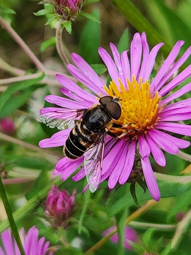
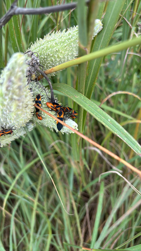
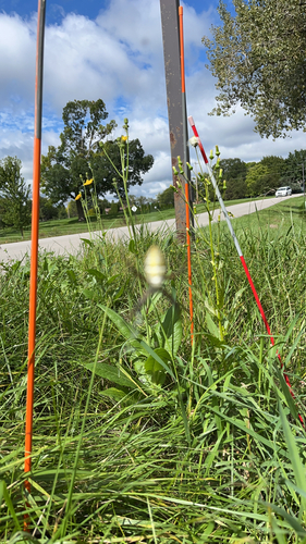
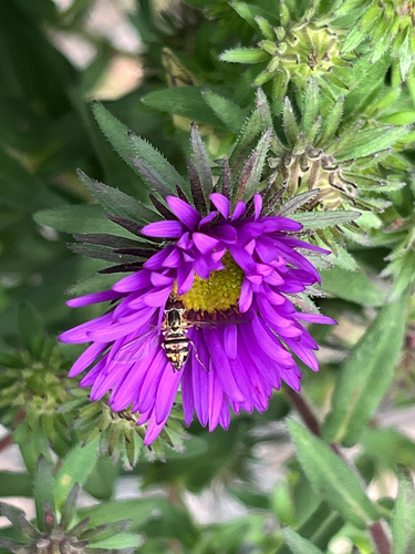
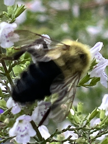
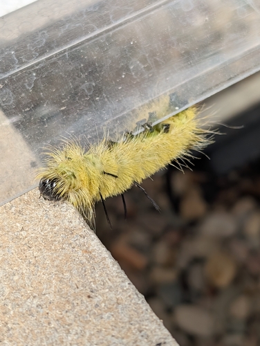

Research-grade observations from iNaturalist (within ~15 mi).
Nearest stream gauge
Events
Gallery
Sources
- • Wikipedia
- • US Census Bureau (ACS 5-year estimates)
- • NOAA National Weather Service
- • Wikidata
- • USGS Earthquake Catalog (global feed)
- • NCES via Urban Institute Education Data Portal
- • GBIF (Global Biodiversity Information Facility)
- • iNaturalist
- • CDC PLACES
- • Open-Meteo / sunrise-sunset.org
- • Wikipedia Pageviews API
- • Open Library