Browse / United States / Wyoming / Cody
Cody
Wyomingcity

Cody
Total population
10,276
Median home value
$378,500
Bachelor's+
Median income
$72,570
Founded
1886
Air quality index
Demographic figures from US Census Bureau · ACS 5-year estimates. Overview below cites Wikipedia and may reference a different year.
- Flood Watch · SevereFlood Watch issued September 17 at 10:33AM MDT until September 20 at 6:00PM MDT by NWS Riverton WY
Source: NOAA National Weather Service.
City facts
Sister cities
Facts from Wikidata (CC0).
Overview
Cody is a city in and the county seat of Park County, Wyoming, United States. The population was 10,028 at the 2020 census, making Cody the eleventh-largest city in Wyoming by population. Cody is served by Yellowstone Regional Airport.
Read more on WikipediaHistory & geography
History
The Shoshone and Crow people lived in the area before European settlers came. John Colter, a member of the Lewis and Clark Expedition, was likely the first to travel through the land that would become Cody. The 1868 Treaty placed the Crow Reservation to the north and Wind River Reservation to the South. His Shoshone Irrigation Company, through George T. Beck, laid out the town. He was personally involved in developing the town doing things like making sure the streets were wide and recommending liquor license fees were high enough to keep away rough trade. Named for his daughter, Cody built the Irma Hotel in 1902. It was one of only two foundries in Wyoming.
Geography
According to the United States Census Bureau, the city has a total area of , of which is land and is water. The Shoshone River flows through Cody in a canyon. There are four bridges over this river in the Cody vicinity, one at the north edge of town that allows travel to the north, and one about east of Cody that allows passage to Powell and the areas to the north and east. The other two are west of town; one allows access to the East Gate of Yellowstone National Park, and the other is used by fishermen in Shoshone Canyon and as access to the Buffalo Bill Dam. Cody is located at the western edge of the Bighorn Basin, a depression surrounded by the Big Horn, Owl Creek, Bridger, and Absaroka ranges. At the western edge of Cody, a deep canyon formed by the Shoshone River provides the only passage to Yellowstone's Eastern Entrance. At its mouth and rising above Cody are Rattlesnake Mountain on the north side and Cedar Mountain on the south side. Much of Cody has views of Heart Mountain, whose peak is directly north of Cody, and the Carter Mountain massif, which forms a line with peaks above , some to the south. Cody has a typical Western US cool semi-arid climate (Köppen BSk), chatacterized by warm summers and freezing, dry winters. The settlement enjoys about 300 days of sunshine per year, and is in USDA plant hardiness zone 5a (). The Buffalo Bill Dam between Rattlesnake and Cedar mountains forms a large reservoir about to the west of Cody. This reservoir (among others) feeds the Shoshone Project, a large irrigation water distribution system. The wettest calendar year has been 2014 with and the driest 1956 with . The most precipitation in one month was in June 1992, and the most in 24 hours on July 22, 1973. There are an average of 72.3 days with…
Excerpted from the corresponding Wikipedia article (CC BY-SA).
Demographics & economy
Race & ethnicity
Source: US Census Bureau — American Community Survey, 5-year estimates.
Geography
Coordinates & boundaries from the US Census TIGER/Line shapefiles.
Climate
Current forecast
Forecast for Cody, WY from NOAA NWS API.
Air quality
Current readings from Open-Meteo Air Quality API (Copernicus CAMS European reanalysis).
Industrial & pollution facilities
Natural hazard risk
Health (adults)
Age-adjusted prevalence estimates from CDC PLACES (latest release).
Walkability
Amenities nearby
Wildlife & biodiversity
Most-observed species
- European StarlingSturnus vulgaris Linnaeus, 1758 · Aves1,352
- Common RavenCorvus corax Linnaeus, 1758 · Aves1,320
- Black-billed MagpiePica hudsonia (Sabine, 1823) · Aves1,237
- American RobinTurdus migratorius Linnaeus, 1766 · Aves1,202
- House SparrowPasser domesticus (Linnaeus, 1758) · Aves1,068
- Red-winged BlackbirdAgelaius phoeniceus (Linnaeus, 1766) · Aves929
- Canada Goose (canadensis Group)Branta canadensis (Linnaeus, 1758) · Aves829
- MallardAnas platyrhynchos Linnaeus, 1758 · Aves786
Citizen-science & research observations from the Global Biodiversity Information Facility (GBIF).
Schools
Largest nearby schools
- Cody High SchoolHigh · Cody · 629 students · 15.7:1 ratio
- Cody Middle SchoolMiddle · Cody · 465 students · 12.2:1 ratio
- Sunset ElementaryElementary · Cody · 311 students · 11.1:1 ratio
- Glenn Livingston ElementaryElementary · Cody · 295 students · 11.8:1 ratio
- Eastside ElementaryElementary · Cody · 292 students · 11.2:1 ratio
- Heart Mountain AcademyHigh · Cody · 37 students · 7.4:1 ratio
Public K–12 schools within ~10 mi from Urban Institute Education Data Portal (NCES Common Core of Data, 2022).
Earthquake history
Most recent
- M 3.34 — 2023-10-1037 km S of Silver Gate, Montana
- M 3.4 — 2022-11-1245 km NE of Dubois, Wyoming
- M 4.22 — 2022-05-1136 km S of Silver Gate, Montana
- M 2.56 — 2021-12-1835 km S of Silver Gate, Montana
- M 2.67 — 2021-06-0236 km S of Silver Gate, Montana
- M 2.62 — 2020-12-0668 km SSE of Mammoth, Wyoming
Events from the USGS Earthquake Catalog (global) (FDSN Event Web Service).
Photos
Sights & places nearby
Notable people from here


People born within ~10 km, from Wikidata (CC0). Click any name for their Wikipedia article.
Nearby places in Wyoming
- Ralston15.4 mi away · pop. 107
- Powell22.2 mi away · pop. 6,503
- Garland26.6 mi away · pop. 59
- Meeteetse27.1 mi away · pop. 612
- Burlington31.3 mi away · pop. 242
- Byron33 mi away · pop. 595
- Deaver34 mi away · pop. 171
- Frannie37.8 mi away · pop. 209
- Cowley38.2 mi away · pop. 755
- Lovell39.3 mi away · pop. 2,422
- Greybull49.4 mi away · pop. 2,091
- Basin50.8 mi away · pop. 1,290
Geography & sun
Elevation, sunrise/sunset and daylight from Open-Meteo. Solar climatology from NASA POWER.
Nearby airports
Public attention
Pageview totals from the Wikimedia Pageviews API.
Books about Cody

Search results from Open Library.
Recent natural events nearby
- Wildfire Windmill, Stillwater, MontanaWildfires · 2026-08-19 · 94 mi
- Wildfire Davis Coulee, Big Horn, MontanaWildfires · 2026-09-14 · 99 mi
- Wildfire Sarpy, Big Horn, MontanaWildfires · 2026-08-17 · 113 mi
- Wildfire Harris, Rosebud, MontanaWildfires · 2026-08-09 · 127 mi
- Wildfire WEISER KNOLL, Fremont, WyomingWildfires · 2026-08-09 · 132 mi
- Wildfire Lumin, Sheridan, WyomingWildfires · 2026-07-31 · 132 mi
- Wildfire Bare, Sublette, WyomingWildfires · 2026-08-04 · 141 mi
- Wildfire Big Rock, Jefferson, IdahoWildfires · 2026-07-31 · 143 mi
Wildfires, storms and other events from NASA EONET (last 12 months, within 250 mi).
Ground air-quality sensors
Recently spotted species
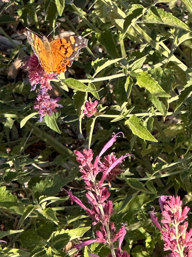
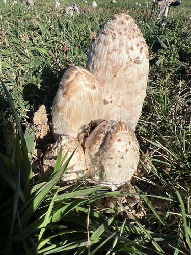
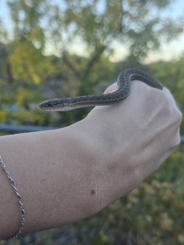
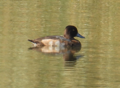
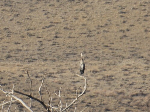
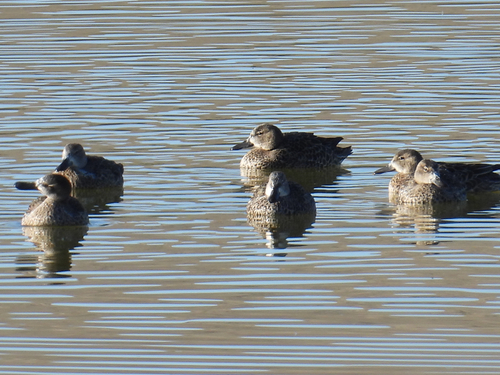
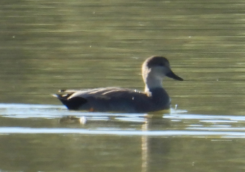
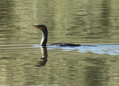
Research-grade observations from iNaturalist (within ~15 mi).
Nearest stream gauge
Events
Gallery
Sources
- • Wikipedia
- • US Census Bureau (ACS 5-year estimates)
- • NOAA National Weather Service
- • Wikidata
- • Open-Meteo Air Quality (CAMS)
- • USGS Earthquake Catalog (global feed)
- • NCES via Urban Institute Education Data Portal
- • GBIF (Global Biodiversity Information Facility)
- • iNaturalist
- • CDC PLACES
- • Open-Meteo / sunrise-sunset.org
- • Wikipedia Pageviews API
- • Open Library
- • NASA EONET