Browse / United States / Wyoming / Frannie
Frannie
Wyomingtown

Frannie
Total population
209
Median home value
$119,200
Bachelor's+
Median income
$0
Demographic figures from US Census Bureau · ACS 5-year estimates. Overview below cites Wikipedia and may reference a different year.
City facts
Facts from Wikidata (CC0).
Overview
Frannie is a town in Big Horn and Park counties in the U.S. state of Wyoming. The population was 145 at the 2020 census.
Read more on WikipediaHistory & geography
History
William A. "Jack" Morris arrived in 1886 and established the Morris Ranch. It was along the wagon route between Billings, Montana and Lander, Wyoming. She rode bareback and shot guns. She was also considered to be a beauty. Her father did not like young men's attention toward his daughter and would have them packed onto a train out of town. After three weeks she turned up in Lewistown, Montana. Her last marriage, to Russell Ford, lasted for fifty years. When her father died in 1935, she moved to Montana. She died in Kalispell, Montana.
Geography
US Highway 310 (locally known as "Ash St.") is the main road through the town. All but 19 of the town's population is found east of US 310. The town is also located two miles south of the Montana border and is the northernmost town in Wyoming's Bighorn Basin—a mountain desert region which relies on a network of canals and pipelines to provide irrigation and potable water for the population, farming, and ranching activities. According to the United States Census Bureau, the town has a total area of , all land. The Town boundaries, at its eastern end, follow the Sage/Frannie Creek. Among Wyoming towns Frannie has a unique geographic characteristic: it is the only town having boundaries which include parts of two counties—Big Horn (pop. 138) and Park (pop. 19). Accordingly, visitors to Frannie are greeted with a welcoming sign which includes the phrase "Biggest Little Town In Wyoming." Locals say this designation is because "it took two counties to hold our town!" Included in the Park County portion of Frannie is the post office and two of the town's three businesses. The Town Hall is located within the Big Horn County portion.
Excerpted from the corresponding Wikipedia article (CC BY-SA).
Demographics & economy
Race & ethnicity
Source: US Census Bureau — American Community Survey, 5-year estimates.
Geography
Coordinates & boundaries from the US Census TIGER/Line shapefiles.
Climate
Current forecast
Forecast for Frannie, WY from NOAA NWS API.
Air quality
Industrial & pollution facilities
Natural hazard risk
Health (adults)
Age-adjusted prevalence estimates from CDC PLACES (latest release).
Walkability
Amenities nearby
Wildlife & biodiversity
Schools
Largest nearby schools
- Rocky Mountain ElementaryElementary · Cowley · 370 students · 14.8:1 ratio
Public K–12 schools within ~10 mi from Urban Institute Education Data Portal (NCES Common Core of Data, 2022).
Earthquake history
Photos
Sights & places nearby
Notable people from here
Nearby places in Wyoming
- Deaver5.8 mi away · pop. 171
- Cowley9.6 mi away · pop. 755
- Byron13.2 mi away
- Garland13.5 mi away · pop. 59
- Lovell14.6 mi away · pop. 2,422
- Powell15.9 mi away
- Ralston22.4 mi away · pop. 107
- Burlington37.4 mi away · pop. 242
- Cody37.8 mi away · pop. 10,276
- Greybull43.5 mi away · pop. 2,091
- Basin49.6 mi away · pop. 1,290
- Shell50.9 mi away · pop. 36
Geography & sun
Elevation, sunrise/sunset and daylight from Open-Meteo. Solar climatology from NASA POWER.
Nearby airports
Public attention
Pageview totals from the Wikimedia Pageviews API.
Books about Frannie
Search results from Open Library.
Recent natural events nearby
- Wildfire Davis Coulee, Big Horn, MontanaWildfires · 2026-09-14 · 62 mi
- Wildfire Windmill, Stillwater, MontanaWildfires · 2026-08-19 · 74 mi
- Wildfire Sarpy, Big Horn, MontanaWildfires · 2026-08-17 · 76 mi
- Wildfire Harris, Rosebud, MontanaWildfires · 2026-08-09 · 98 mi
- Wildfire Lumin, Sheridan, WyomingWildfires · 2026-07-31 · 109 mi
- Wildfire Montgomery Draw, Campbell, WyomingWildfires · 2026-08-06 · 142 mi
- Wildfire Ant Park, Meagher, MontanaWildfires · 2026-07-31 · 156 mi
- Wildfire WEISER KNOLL, Fremont, WyomingWildfires · 2026-08-09 · 161 mi
Wildfires, storms and other events from NASA EONET (last 12 months, within 250 mi).
Ground air-quality sensors
Recently spotted species
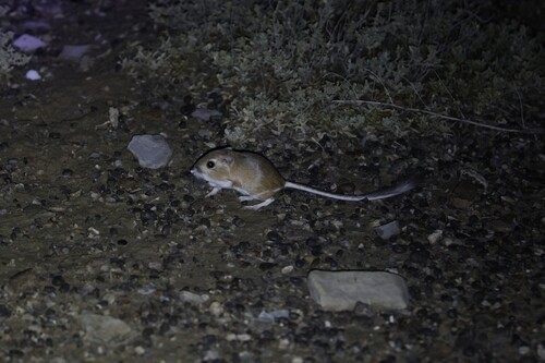
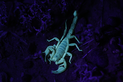
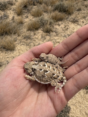
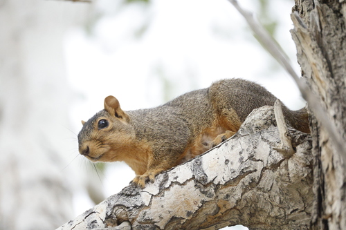
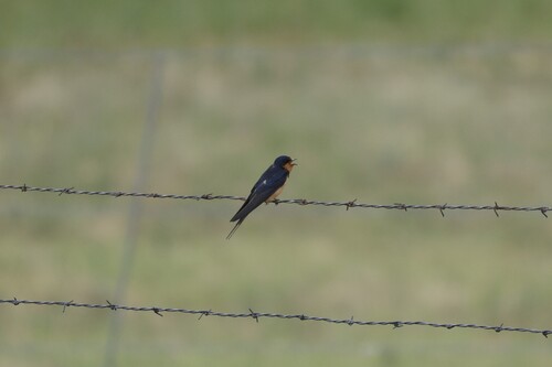
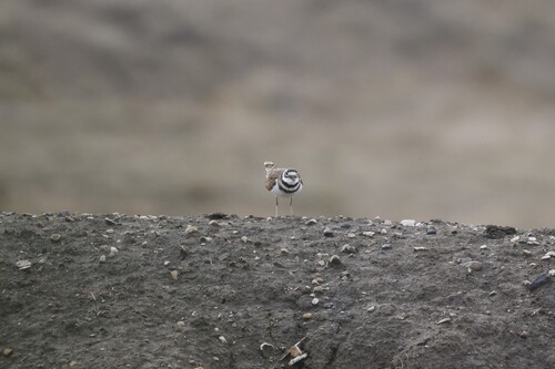
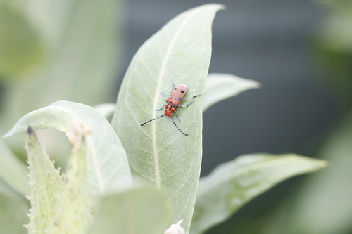
Research-grade observations from iNaturalist (within ~15 mi).
Nearest stream gauge
Live readings from USGS NWIS · measured 2026-10-05 06:00 UTC.
Events
Gallery
Sources
- • Wikipedia
- • US Census Bureau (ACS 5-year estimates)
- • NOAA National Weather Service
- • Wikidata
- • USGS NWIS (water data)
- • NCES via Urban Institute Education Data Portal
- • iNaturalist
- • CDC PLACES
- • Open-Meteo / sunrise-sunset.org
- • Wikipedia Pageviews API
- • Open Library
- • NASA EONET