Browse / United States / Wyoming / Lovell
Lovell
Wyomingtown

Lovell
Total population
2,422
Median home value
$209,700
Bachelor's+
Median income
$60,154
Demographic figures from US Census Bureau · ACS 5-year estimates. Overview below cites Wikipedia and may reference a different year.
City facts
Facts from Wikidata (CC0).
Overview
Lovell is the largest town in Big Horn County, Wyoming, United States. The population was 2,243 at the 2020 census.
Read more on WikipediaHistory & geography
History
Lovell was named for Henry Lovell, a local rancher. Built in 1925, the EJZ Bridge over Shoshone River is listed on the National Register of Historic Places.
Geography
According to the United States Census Bureau, the town has a total area of , all land. According to the Köppen Climate Classification system, Lovell has a cold desert climate, abbreviated BWk on climate maps, although it borders a cold semi-arid climate (BSk). The hottest temperature recorded in Lovell was on June 29, 1919, while the coldest temperature recorded was on February 5, 1899. |source 2 = National Weather Service }}
Excerpted from the corresponding Wikipedia article (CC BY-SA).
Demographics & economy
Race & ethnicity
Source: US Census Bureau — American Community Survey, 5-year estimates.
Geography
Coordinates & boundaries from the US Census TIGER/Line shapefiles.
Climate
Current forecast
Forecast for Lovell, WY from NOAA NWS API.
Air quality
Industrial & pollution facilities
Natural hazard risk
Health (adults)
Age-adjusted prevalence estimates from CDC PLACES (latest release).
Walkability
Amenities nearby
Wildlife & biodiversity
Schools
Largest nearby schools
- Rocky Mountain ElementaryElementary · Cowley · 370 students · 14.8:1 ratio
- Rocky Mountain High SchoolHigh · Cowley · 360 students · 17.1:1 ratio
- Lovell ElementaryElementary · Lovell · 308 students · 12.3:1 ratio
- Rocky Mountain Middle SchoolMiddle · Cowley · 252 students · 18:1 ratio
- Lovell High SchoolHigh · Lovell · 235 students · 14.7:1 ratio
- Lovell Middle SchoolMiddle · Lovell · 185 students · 14.2:1 ratio
Public K–12 schools within ~10 mi from Urban Institute Education Data Portal (NCES Common Core of Data, 2022).
Earthquake history
Photos
Sights & places nearby
Notable people from here


People born within ~10 km, from Wikidata (CC0). Click any name for their Wikipedia article.
Nearby places in Wyoming
- Cowley5 mi away · pop. 755
- Byron6.3 mi away
- Deaver10.7 mi away · pop. 171
- Garland13.5 mi away · pop. 59
- Frannie14.6 mi away · pop. 209
- Powell18.6 mi away
- Ralston25.8 mi away · pop. 107
- Burlington26.9 mi away · pop. 242
- Greybull29.2 mi away · pop. 2,091
- Basin35.7 mi away · pop. 1,290
- Shell36.4 mi away
- Cody39.3 mi away · pop. 10,276
Geography & sun
Elevation, sunrise/sunset and daylight from Open-Meteo. Solar climatology from NASA POWER.
Nearby airports
Public attention
Pageview totals from the Wikimedia Pageviews API.
Books about Lovell



Search results from Open Library.
Recent natural events nearby
- Wildfire Davis Coulee, Big Horn, MontanaWildfires · 2026-09-14 · 61 mi
- Wildfire Sarpy, Big Horn, MontanaWildfires · 2026-08-17 · 76 mi
- Wildfire Windmill, Stillwater, MontanaWildfires · 2026-08-19 · 88 mi
- Wildfire Harris, Rosebud, MontanaWildfires · 2026-08-09 · 89 mi
- Wildfire Lumin, Sheridan, WyomingWildfires · 2026-07-31 · 97 mi
- Wildfire Montgomery Draw, Campbell, WyomingWildfires · 2026-08-06 · 129 mi
- Wildfire WEISER KNOLL, Fremont, WyomingWildfires · 2026-08-09 · 152 mi
- Wildfire Ant Park, Meagher, MontanaWildfires · 2026-07-31 · 170 mi
Wildfires, storms and other events from NASA EONET (last 12 months, within 250 mi).
Ground air-quality sensors
Recently spotted species
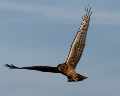
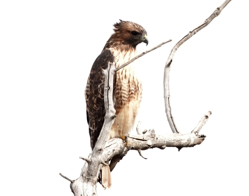
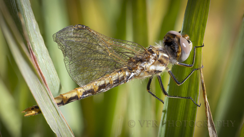
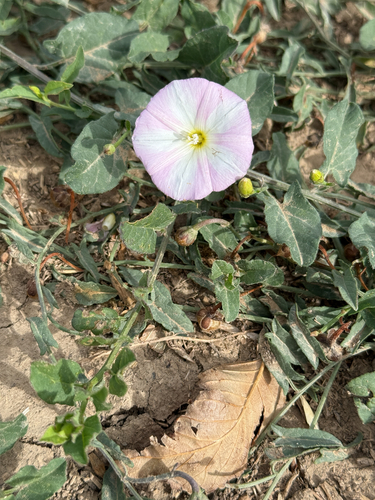
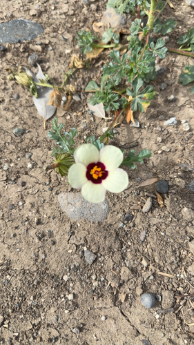
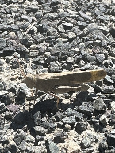
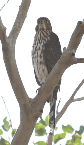
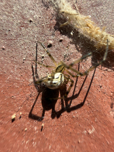
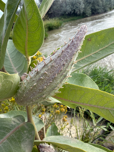
Research-grade observations from iNaturalist (within ~15 mi).
Nearest stream gauge
Events
Gallery
Sources
- • Wikipedia
- • US Census Bureau (ACS 5-year estimates)
- • NOAA National Weather Service
- • Wikidata
- • NCES via Urban Institute Education Data Portal
- • iNaturalist
- • CDC PLACES
- • Open-Meteo / sunrise-sunset.org
- • Wikipedia Pageviews API
- • Open Library
- • NASA EONET