Browse / Australia / Northern Territory / Adelaide River
Adelaide River
Northern Territoryvillage

Adelaide River
Total population
243
Air quality index
Demographic figures from Australian Bureau of Statistics. Overview below cites Wikipedia and may reference a different year.
City facts
Facts from Wikidata (CC0).
Overview
Adelaide River is a small but historically significant town located at the crossing of the Stuart Highway over the Adelaide River in the Northern Territory of Australia. The town is upstream of the Adelaide and Mary River Floodplains Important Bird Area. At the 2021 census, Adelaide River had a population of 317. Adelaide River is part of the Coomalie Shire and is the second largest settlement in the local government area.
Read more on WikipediaHistory & geography
History
The Kungarrakan and Awarai Aboriginal peoples are acknowledged as the traditional owners of the land surrounding the present day town of Adelaide River. There was little acknowledgement of their connection to the land in the early history of the area, evidenced by the predominantly European place names. The following year, Mr. Edward Hopewell was awarded this mail contract and built the Q.C.E. Hotel on the river bank and a restaurant, the "Jolly Waggoner" was opened by George Doherty, increasing the importance of the area as an overnight stop for travellers. The first police station in the town was constructed in 1879. Prior to the construction of the railway to Pine Creek, the Adelaide River crossing was the overnight stopping point for the Haimes Royal Mail Coach which linked Southport with the goldfields. In 1886 a contract was signed between the Government of South Australia and construction firm C&E Millar to build the railway between Port Darwin (then known as Palmerston) and the goldfields at Pine Creek. By April 1888 the railway had reached Adelaide River. Construction of the long steel girder across the river itself used five spans supported on four sets of piers. The bridge was all but complete by the onset of the wet season later that year. The first train to cross reached the southern bank on 3 December 1888, followed five days later by the first scheduled service, hauled by the locomotive "Silverton". Pastoral and agricultural activity were stimulated with the issuing of leases for Crown Land. In 1911 brothers Frank and Fred Hardy, local buffalo hunters, established Mount Bundy Station on an 834sq mi pastoral lease near the town of Adelaide River. Using local Aboriginal stockmen to hunt and process the animals, they began exporting buffalo hide to…
Excerpted from the corresponding Wikipedia article (CC BY-SA).
Geography
Coordinates & boundaries from the US Census TIGER/Line shapefiles.
Climate
10-year averages from ERA5 reanalysis (Open-Meteo).
Air quality
Current readings from Open-Meteo Air Quality API (Copernicus CAMS European reanalysis).
Walkability
Amenities nearby
Wildlife & biodiversity
Most-observed species
- BluestemAndropogon gayanus Kunth · Liliopsida959
- Straw-necked IbisThreskiornis spinicollis (Jameson, 1835) · Aves217
- Bar-shouldered DoveGeopelia humeralis (Temminck, 1821) · Aves197
- Radjah ShelduckRadjah radjah (Garnot & R.Lesson, 1828) · Aves197
- Rainbow Bee-eaterMerops ornatus Latham, 1801 · Aves195
- Peaceful DoveGeopelia placida Gould, 1844 · Aves190
- Masked LapwingVanellus miles (Boddaert, 1783) · Aves181
- Torresian CrowCorvus orru Bonaparte, 1850 · Aves159
Citizen-science & research observations from the Global Biodiversity Information Facility (GBIF).
Earthquake history
Events from the USGS Earthquake Catalog (global) (FDSN Event Web Service).
Photos
Sights & places nearby
Notable people from here

People born within ~10 km, from Wikidata (CC0). Click any name for their Wikipedia article.
Nearby places in Northern Territory
- Amangal0.4 mi away
- Noonamah41.8 mi away · pop. 483
- Daly River45.2 mi away · pop. 350
- Kybrook64.6 mi away · pop. 74
- Channel Point Community66.4 mi away
- Nourlangie109.7 mi away
- Djarrung112.6 mi away
- Deaf Adder116.4 mi away
- Wurankuwu125.3 mi away
- Manthathpe127.6 mi away
- Milikapiti128.9 mi away · pop. 414
- Pirlangimpi135 mi away · pop. 317
Geography & sun
Elevation, sunrise/sunset and daylight from Open-Meteo. Solar climatology from NASA POWER.
Nearby airports
Public attention
Pageview totals from the Wikimedia Pageviews API.
Books about Adelaide River


Search results from Open Library.
Recent natural events nearby
Ground air-quality sensors
Recently spotted species
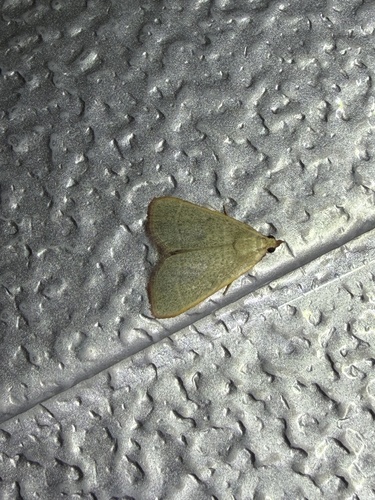
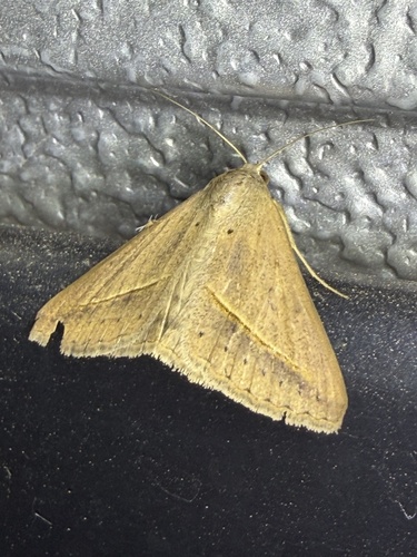
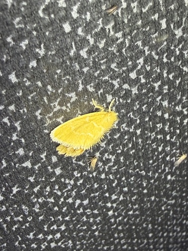

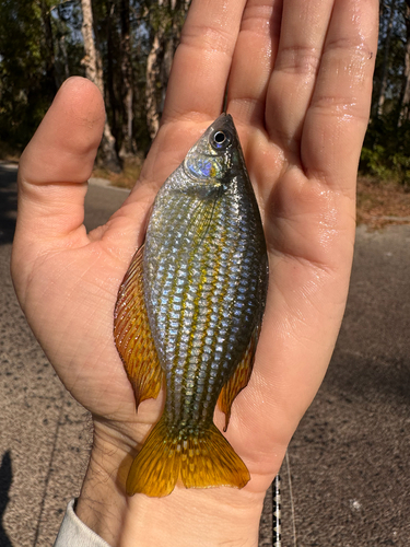
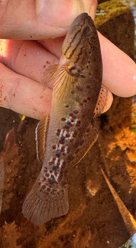
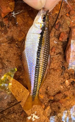
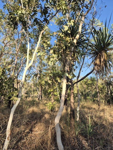
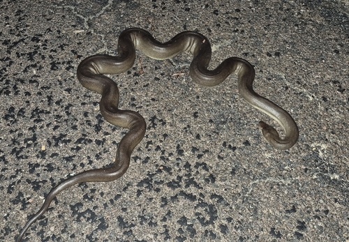
Research-grade observations from iNaturalist (within ~15 mi).
Events
Gallery
Geotagged photos within ~6 miles of Adelaide River, from Wikimedia Commons contributors.
 0.1 mi
 0.1 mi
 0.1 mi
 0.1 mi
 0.1 mi
 0.1 mi
 0.1 mi
_-_Flickr_-_Lip_Kee.jpg) 0.1 mi
0.1 mi_-_Flickr_-_Lip_Kee.jpg) 0.1 mi
0.1 mi_-_Flickr_-_Lip_Kee_(1).jpg) 0.1 mi
0.1 mi_-_Flickr_-_Lip_Kee.jpg) 0.1 mi
0.1 mi_-_Flickr_-_Lip_Kee_(1).jpg) 0.1 mi
0.1 mi_-_Flickr_-_Lip_Kee_(2).jpg) 0.1 mi
0.1 mi 0.1 mi
.jpg) 0.1 mi
0.1 mi.jpg) 0.1 mi
0.1 mi 0.4 mi
 0.4 mi
 0.5 mi
 0.5 mi
 0.5 mi
 0.5 mi
 0.6 mi
 1 mi
1 miPhotos via Wikimedia Commons — see each image page for license & attribution.
Sources
- • Wikipedia
- • Open-Meteo (ERA5 reanalysis)
- • Wikimedia Commons
- • Wikidata
- • Open-Meteo Air Quality (CAMS)
- • USGS Earthquake Catalog (global feed)
- • GBIF (Global Biodiversity Information Facility)
- • iNaturalist
- • Open-Meteo / sunrise-sunset.org
- • Wikipedia Pageviews API
- • Open Library