Browse / Australia / Queensland / Christmas Creek
Christmas Creek
Queenslandhamlet

Christmas Creek
Demographic figures from Australian Bureau of Statistics. Overview below cites Wikipedia and may reference a different year.
City facts
Overview
Christmas Creek is a rural locality in the Scenic Rim Region, Queensland, Australia. In the 2021 census, Christmas Creek had a population of 88 people.
Read more on WikipediaHistory & geography
History
Like many places in South East Queensland the first industry to developed was timber-getting. Between 1872 and 1877 land was resumed from the Telemon pastoral run. Some of this land makes up what is now Christmas Creek. Agriculture soon became the area's main industry. In 1877 the name of the post office changed from Telemon to Christmas Creek. Christmas Creek Provisional School opened on 23 September 1878 but closed on 8 July 1881. Christmas Creek Provisional opened on 5 July 1887 (higher up the creek than the previous school). In 1901 it became Christmas Creek State School. In 1914, the school was renamed Hillview State School. It was on Strong Road (approx ) and there is monument at the site. The Beaudesert Shire Tramway had a station at Christmas Creek. The station was once known as Lillybank and for several years was the line's terminus.
Geography
The eastern border of the locality is marked by the high point of the Jinbroken Range while the west is similar defined by another ridgeline. Christmas Creek, a tributary of the Logan River flows in north–south direction roughly parallel to the only main road in the area called Christmas Creek Road.
Excerpted from the corresponding Wikipedia article (CC BY-SA).
Geography
Coordinates & boundaries from the US Census TIGER/Line shapefiles.
Climate
Air quality
Walkability
Amenities nearby
Wildlife & biodiversity
Most-observed species
- Eastern WhipbirdPsophodes olivaceus (Latham, 1802) · Aves6,346
- Lewin's HoneyeaterMeliphaga lewinii (Swainson, 1837) · Aves6,249
- Crimson RosellaPlatycercus elegans (Gmelin, 1788) · Aves6,056
- Eastern Yellow RobinEopsaltria australis (Shaw, 1790) · Aves5,698
- Australian King-ParrotAlisterus scapularis (Lichtenstein, 1816) · Aves5,373
- White-browed ScrubwrenSericornis frontalis (Vigors & Horsfield, 1827) · Aves5,107
- Pied CurrawongStrepera graculina (Shaw, 1790) · Aves4,915
- Satin BowerbirdPtilonorhynchus violaceus (Vieillot, 1816) · Aves4,873
Citizen-science & research observations from the Global Biodiversity Information Facility (GBIF).
Earthquake history
Events from the USGS Earthquake Catalog (global) (FDSN Event Web Service).
Photos
Sights & places nearby
Notable people from here
Nearby places in Queensland
- Laravale7 mi away
- Beechmont12.8 mi away · pop. 791
- Canungra15.1 mi away · pop. 793
- Mount Alford25.2 mi away
- Roadvale25.7 mi away
- Aratula30.1 mi away · pop. 553
- Peak Crossing31.4 mi away · pop. 498
- Harrisville31.9 mi away · pop. 490
- Currigee32.6 mi away · pop. 100
- Warrill View33.4 mi away
- Logan City37.5 mi away
- Mount Walker39.6 mi away
Geography & sun
Elevation, sunrise/sunset and daylight from Open-Meteo. Solar climatology from NASA POWER.
Nearby airports
Public attention
Pageview totals from the Wikimedia Pageviews API.
Books about this place
Recent natural events nearby
Ground air-quality sensors
Recently spotted species
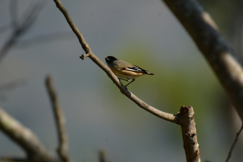
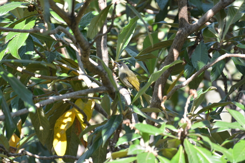
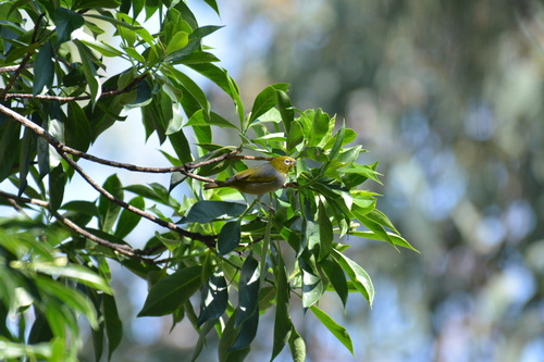
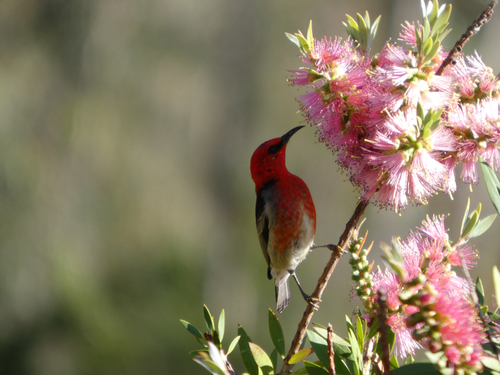
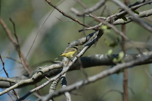
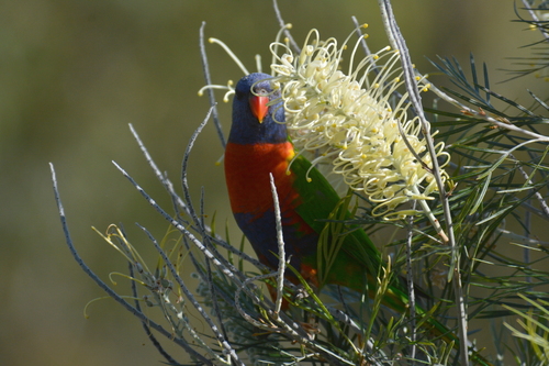
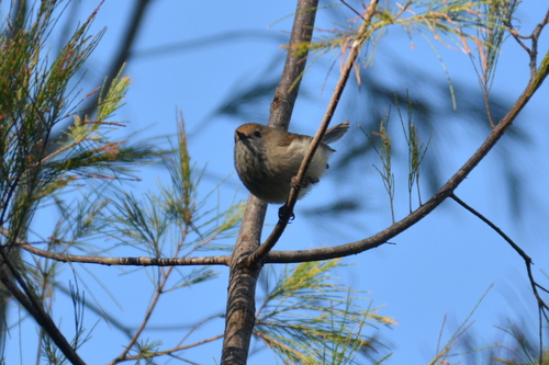
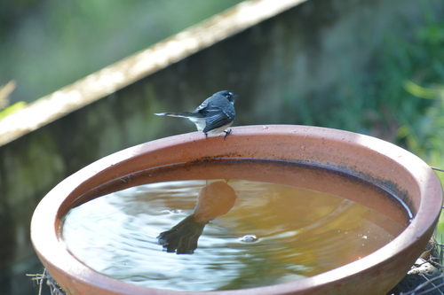
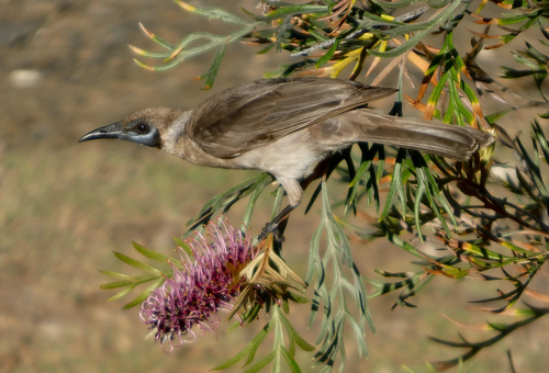
Research-grade observations from iNaturalist (within ~15 mi).
Events
Gallery
Official Identifiers
ABS — Australian Bureau of Statistics
- ASGS 2021
- SAL30605
- Population (Wikidata)
- 53
- Wikidata
- Q17986469
ASGS 2021 ID via Wikidata P10112
Sources
- • Wikipedia
- • Wikidata
- • USGS Earthquake Catalog (global feed)
- • GBIF (Global Biodiversity Information Facility)
- • iNaturalist
- • Open-Meteo / sunrise-sunset.org
- • Wikipedia Pageviews API
- • ABS — Australian Bureau of Statistics — ASGS 2021 ID via Wikidata P10112