Browse / Australia / Queensland / Mackay
Mackay
Queenslandcity

Mackay
Total population
80,455
Founded
1875
Air quality index
Demographic figures from Australian Bureau of Statistics. Overview below cites Wikipedia and may reference a different year.
City facts
Facts from Wikidata (CC0).
Overview
Mackay is a city in the Mackay Region on the eastern or Coral Sea coast of Queensland, Australia. It is located about 803 kilometres (499 mi) north of Brisbane, on the Pioneer River. Mackay is described as being in either Central Queensland or North Queensland, as these regions are not precisely defined. More generally, the area is known as the Mackay–Whitsunday Region. Nicknames of Mackay include the Sugar capital, Alexandra and Macktown.
Read more on WikipediaHistory & geography
History
The area which is now Mackay City was originally inhabited by the local Yuibera people. Yuwibara (also known as Yuibera, Yuri, Juipera, Yuwiburra) is an Australian Indigenous language spoken on Yuwibara country. It is closely related to the Biri languages/dialects. The Yuwibara language region includes the landscape within the local government boundaries of the Mackay Region. Captain James Cook, sailed past the Mackay coast on 1 June 1770 and named several local landmarks, including Cape Palmerston, Slade Point and Cape Hillsborough. It was during this trip that the Endeavours botanist, Sir Joseph Banks, briefly recorded seeing Indigenous Australians. In 1860, John Mackay led an overland expedition to the region to obtain land. Finding most of the inland areas already having been selected by other British colonists, Mackay turned toward the coast and entered what he called the May Plains but is now known as the Pioneer Valley. Mackay was the first European to visit the region that is now named after him. In 1863, Mackay was declared a port of entry for settlers. Amongst the first boatload of arrivals was hotelier and future mayor Korah Halcomb Wills. Mackay was initially named Alexandra but the government soon changed it to Mackay to honour its founder. The first sale of town allotments was in 1864. During the 1860s, the local Aboriginal population, as Henry Ling Roth puts it, "did what they could to defend their country and their lives." The usual mode of the Native Police was terror, violence and massacre. In 1868 a large group of Aboriginal people killed 7 cattle at Greenmount. Johnstone and his troopers were sent out after them but it is unclear if he succeeded in "administering a lesson to the blackskins." Colonist, George Bridgman, provided some sanctuary…
Geography
Mackay is situated on the 21st parallel south adjacent to the Coral Sea coast and about both banks of the Pioneer River. The Clarke Range lies to the west of the city. The city is expanding to accommodate for growth with most of the expansion happening in the Beachside, Southern, Central and Pioneer Valley suburbs. Suburbs to the north of the city such as Midge Point are also fast growing with residential estates in demand. There is disagreement about how to describe the location of Mackay, with debate ongoing as to whether the city is located in North Queensland or Central Queensland. There is no uniform agreement among either state or federal government agencies on the definition of North Queensland, with government services for Mackay being provided through both Townsville (North Queensland) and Rockhampton (Central Queensland). The ABC's local radio station in Mackay is also called ABC Tropical North. However, Queensland Health designates Mackay as a health district distinct from both Central Queensland and Townsville health districts and the Mackay-based rescue helicopter, part of the Queensland Health Aeromedical Retrieval Service, is called CQ Rescue. Mackay has a dry-winter humid subtropical climate (Koppen: Cwa), closely bordering a tropical savanna climate (Koppen: Aw) with hot, very rainy summers and very mild, dry winters. Warm to hot weather predominates throughout the year, with mean maximums averaging from in January to in July, while minimums range from in July to in February. The wet season, lasting from December to March, is characterised by hot weather, high humidity and intense rainfall, with occasional monsoonal low pressure systems and tropical cyclones. Meanwhile, the dry season, from June to October, are cooler and less humid. The…
Excerpted from the corresponding Wikipedia article (CC BY-SA).
Geography
Coordinates & boundaries from the US Census TIGER/Line shapefiles.
Climate
Air quality
Current readings from Open-Meteo Air Quality API (Copernicus CAMS European reanalysis).
Walkability
Amenities nearby
Wildlife & biodiversity
Most-observed species
- Magpie-larkGrallina cyanoleuca (Latham, 1802) · Aves1,339
- Masked LapwingVanellus miles (Boddaert, 1783) · Aves1,299
- Torresian CrowCorvus orru Bonaparte, 1850 · Aves1,266
- Australian IbisThreskiornis molucca (Cuvier, 1829) · Aves1,226
- Rainbow LorikeetTrichoglossus haematodus (Linnaeus, 1771) · Aves1,198
- Australasian FigbirdSphecotheres vieilloti Vigors & Horsfield, 1827 · Aves1,189
- Australian MagpieGymnorhina tibicen (Latham, 1802) · Aves1,004
- Willie-wagtailRhipidura leucophrys (Latham, 1802) · Aves994
Citizen-science & research observations from the Global Biodiversity Information Facility (GBIF).
Earthquake history
Events from the USGS Earthquake Catalog (global) (FDSN Event Web Service).
Photos
Sights & places nearby
Notable people from here


People born within ~10 km, from Wikidata (CC0). Click any name for their Wikipedia article.
Nearby places in Queensland
Geography & sun
Elevation, sunrise/sunset and daylight from Open-Meteo. Solar climatology from NASA POWER.
Nearby airports
Public attention
Pageview totals from the Wikimedia Pageviews API.
Books about Mackay

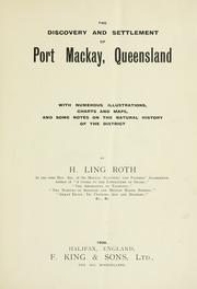

Search results from Open Library.
Recent natural events nearby
Ground air-quality sensors
Recently spotted species
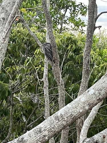
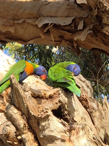
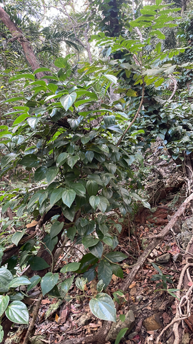
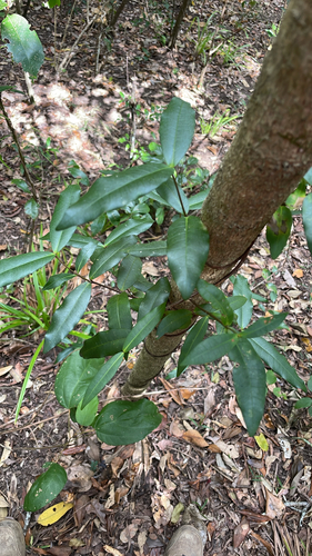
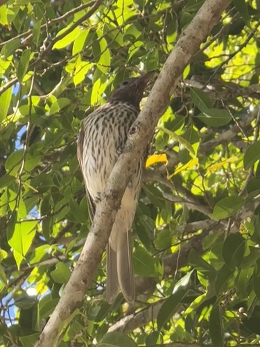
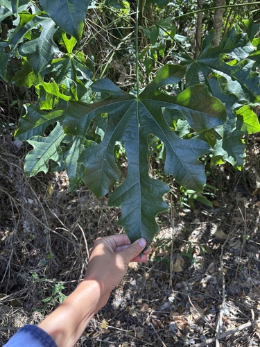
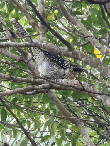
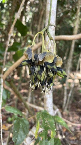
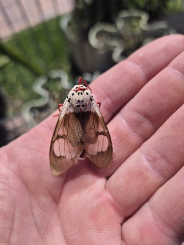
Research-grade observations from iNaturalist (within ~15 mi).
Events
Gallery
Geotagged photos within ~6 miles of Mackay, from Wikimedia Commons contributors.
 0 mi
0 mi 0 mi
0 mi 0 mi
0 mi 0 mi
0 mi 0 mi
0 mi 0 mi
0 mi 0.1 mi
 0.1 mi
.jpg) 0.1 mi
0.1 mi.jpg) 0.1 mi
0.1 mi.jpg) 0.1 mi
0.1 mi.jpg) 0.1 mi
0.1 mi.jpg) 0.1 mi
0.1 mi 0.1 mi
 0.1 mi
 0.1 mi
.jpg) 0.1 mi
0.1 mi.jpg) 0.1 mi
0.1 mi 0.1 mi
 0.1 mi
 0.1 mi
 0.1 mi
 0.1 mi
 0.1 mi
Photos via Wikimedia Commons — see each image page for license & attribution.
Sources
- • Wikipedia
- • Wikimedia Commons
- • Wikidata
- • Open-Meteo Air Quality (CAMS)
- • USGS Earthquake Catalog (global feed)
- • GBIF (Global Biodiversity Information Facility)
- • iNaturalist
- • Open-Meteo / sunrise-sunset.org
- • Wikipedia Pageviews API
- • Open Library