Browse / Australia / Queensland / Texas
Texas
Queenslandtown

Texas
Total population
707
Demographic figures from Australian Bureau of Statistics. Overview below cites Wikipedia and may reference a different year.
City facts
Overview
Texas is a rural town and locality in the Goondiwindi Region of Queensland, Australia. It is on the Queensland border with New South Wales. In the 2021 census, the locality of Texas had a population of 790 people.
Read more on WikipediaHistory & geography
History
Bigambul (also known as Bigambal, Bigumbil, Pikambul, Pikumbul) is an Australian Aboriginal language spoken by the Bigambul people. The Bigambul language region includes the landscape within the local government boundaries of the Goondiwindi Regional Council, including the towns of Goondiwindi, Yelarbon and Texas extending north towards Moonie and Millmerran. Texas sits on Bigambul land, the Indigenous people of the region who inhabited the area for thousands of years prior to colonisation in the 1840s. Texas, at one time, relied on its importance of grazing. It was settled in 1842 and was named after the largest nearby landholding in the area, known as Texas Station. The origin of the town's name is generally regarded as a reference to a territorial dispute. The land in the area was first settled by the McDougall brothers, who found squatters there on returning from the goldfields. Once their legal right to the land was recognised, they named their property in honour of the dispute between the United States and Mexico over territory in Texas. Land in Texas was open for selection on 17 April 1877; were available. Texas was connected by the Texas railway line from Inglewood in November 1930 with the town being served by the Texas railway station (). The line was closed in 1994, but officially remains operational. However, the station is officially abandoned. Up until about 1986, tobacco farming was an important industry in the area and many Italian families settled the area to run and work the tobacco farms. The tobacco industry had begun to be important in the late 1800s. In the 1870s, Chinese workers began to be employed on the Texas Station to grow the crop for local use. "They were employed because they had grown their own tobacco before, so you use…
Geography
The town is located just from Queensland's southern border with New South Wales, close to Bonshaw, New South Wales. The locality across the New South Wales border is also known as Texas, having a shared history as being part of the Texas pastoral run. State Route 89, a road with two names, runs through the locality, entering from the east as Stanthorpe – Texas Road (Mingoola Road, Fleming Street and High Street in the town) and exiting to the north-west as Inglewood – Texas Road (Greenup Street). Texas has the following mountains: * Texas Mount () * The Blacks Rock () The runway is approx of graded gravel. It is operated by the Goondiwindi Regional Council.
Excerpted from the corresponding Wikipedia article (CC BY-SA).
Geography
Coordinates & boundaries from the US Census TIGER/Line shapefiles.
Climate
Air quality
Walkability
Amenities nearby
Wildlife & biodiversity
Most-observed species
- Noisy MinerManorina melanocephala (Latham, 1801) · Aves471
- WeebillSmicrornis brevirostris (Gould, 1838) · Aves448
- MistletoebirdDicaeum hirundinaceum (Shaw, 1792) · Aves426
- Australian MagpieGymnorhina tibicen (Latham, 1802) · Aves417
- Striated PardalotePardalotus striatus (Gmelin, 1789) · Aves412
- Pied CurrawongStrepera graculina (Shaw, 1790) · Aves370
- Willie-wagtailRhipidura leucophrys (Latham, 1802) · Aves346
- Superb FairywrenMalurus cyaneus (Ellis, 1782) · Aves327
Citizen-science & research observations from the Global Biodiversity Information Facility (GBIF).
Earthquake history
Events from the USGS Earthquake Catalog (global) (FDSN Event Web Service).
Photos
Sights & places nearby
Notable people from here


People born within ~10 km, from Wikidata (CC0). Click any name for their Wikipedia article.
Nearby places in Queensland
- Inglewood30.4 mi away · pop. 760
- Yelarbon31.7 mi away · pop. 222
- Severnlea45.7 mi away
- Wallangarra46.3 mi away · pop. 360
- Cotton Vale52.4 mi away
- Millmerran67.4 mi away · pop. 1,371
- The Hermitage71.9 mi away
- Tannymorel75.8 mi away
- Killarney76.9 mi away · pop. 685
- Brookstead77.2 mi away
- Irongate87 mi away
- Mount Alford102 mi away
Geography & sun
Elevation, sunrise/sunset and daylight from Open-Meteo. Solar climatology from NASA POWER.
Nearby airports
Public attention
Pageview totals from the Wikimedia Pageviews API.
Books about Texas
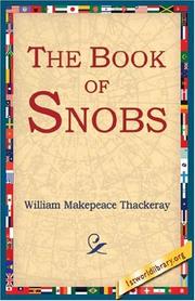

Search results from Open Library.
Recent natural events nearby
Ground air-quality sensors
Recently spotted species
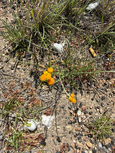
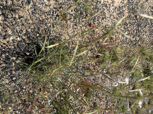
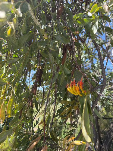
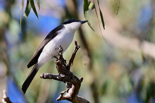
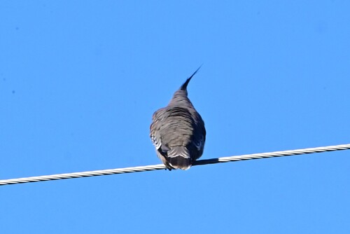
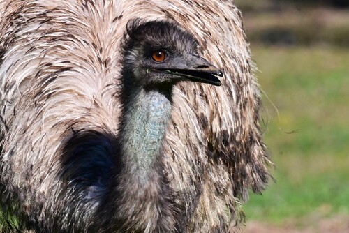
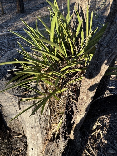
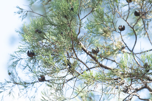
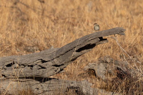
Research-grade observations from iNaturalist (within ~15 mi).
Events
Gallery
Sources
- • Wikipedia
- • Wikidata
- • USGS Earthquake Catalog (global feed)
- • GBIF (Global Biodiversity Information Facility)
- • iNaturalist
- • Open-Meteo / sunrise-sunset.org
- • Wikipedia Pageviews API
- • Open Library