Browse / United States / California / Avalon
Avalon
Californiacity

Avalon
Total population
3,338
Median home value
$936,000
Bachelor's+
Median income
$105,139
Founded
1913
Demographic figures from US Census Bureau · ACS 5-year estimates. Overview below cites Wikipedia and may reference a different year.
City facts
Facts from Wikidata (CC0).
Overview
Avalon is the only incorporated city on Santa Catalina Island, in the California Channel Islands, and the southernmost city in Los Angeles County. The city is a resort community with the waterfront dominated by tourism-oriented businesses. The older parts of the city on the valley floor consist primarily of small houses and two and three-story buildings in various traditional architectural styles.
Read more on WikipediaHistory & geography
History
Prior to the modern era, Avalon Bay was inhabited by people of the Gabrielino/Tongva tribe. The island was a major source of soapstone to the Tongva, who used the material to make stone vessels for cooking. The Tongva called the island Pimu or Pimugna and referred to themselves as the Pimugnans. However, by the 1830s, the entire island's native population had either died off, or had undergone forcible relocation to the mainland to work in the missions or as ranch hands for the many private land owners. In the 1860s, German immigrant Augustus William Timms ran a sheep herding business on Catalina Island. One of his vessels, the Rosita, would also ferry pleasure seekers across the channel to Avalon Bay for bathing and fishing. The settlement in Avalon was then referred to as Timms's Landing in his honor. By the summer of 1883, there were thirty tents and three wooden buildings at Timms's Landing. The first owner to try to develop Avalon Bay into a resort destination was George Shatto, a real estate speculator from Grand Rapids, Michigan. Shatto purchased the island for $200,000 from the estate of James Lick at the height of a real estate boom in Southern California in 1887. Shatto created the settlement that would become Avalon, and can be credited with building the city's first hotel, the original Hotel Metropole, and pier. Though early maps labeled the city Shatto, Shatto's sister-in-law Etta Whitney came up with the permanent name of Avalon in reference from a poem by Lord Tennyson called "Idylls of the King" about the legend of King Arthur (which features an island of the same name). Shatto laid out Avalon's streets, and introduced it as a vacation destination to the general public. Despite Shatto's efforts, in a few years he had to default on his loan and the…
Geography
Avalon is located on Santa Catalina Island, approximately south-by-southwest of the Los Angeles Harbor breakwater. It is the only incorporated city to be located on one of the eight Channel Islands of California. Due to its location on Catalina Island, it is the southernmost city in Los Angeles County. According to the United States Census Bureau, the city has a total area of on land and on water. The City of Avalon is oriented around Avalon Bay, with the harbor and beaches forming the center of the town's activity. The Cabrillo Mole, located at the south end of the harbor, acts both as a breakwater and the main docks for the cross-channel passenger boats. Many of the commercial businesses dedicated to serving visitors are located along the Crescent Street pedestrian mall, which runs just behind the three main beaches of Avalon Bay. The pedestrian walkway is adorned throughout with decorative pavers, fountains, palm trees, and a decorative serpentine seawall. Many of these features were introduced to Avalon during an extensive re-design undertaken by Philip K. Wrigley in 1934. Outside of the bay and just north of the Casino is Descanso Beach, a private beach, entertainment and meetings venue run by the Santa Catalina Island Company. At the farthest north end of town are the Hamilton Cove condominiums, a gated community consisting mostly of second homes. South of the bay is Lovers Cove dive park, a marine reserve frequented by both snorkelers and the classic glass-bottom boat tours. Further south still is Pebbly Beach, an industrial area home to the Pebbly Beach Seaplane Base & Heliport and Pebbly Beach Generating Station, where Avalon gets its power. Most of the residential units in Avalon are tucked away off of the beachfront, either in the flat lands further…
Excerpted from the corresponding Wikipedia article (CC BY-SA).
Demographics & economy
Race & ethnicity
Source: US Census Bureau — American Community Survey, 5-year estimates.
Geography
Coordinates & boundaries from the US Census TIGER/Line shapefiles.
Climate
Current forecast
Forecast for Avalon, CA from NOAA NWS API.
Air quality
Industrial & pollution facilities
Natural hazard risk
Health (adults)
Age-adjusted prevalence estimates from CDC PLACES (latest release).
Walkability
Amenities nearby
Wildlife & biodiversity
Schools
Largest nearby schools
- Avalon K-12Other · Santa Catalina · 451 students · 15.6:1 ratio
Public K–12 schools within ~10 mi from Urban Institute Education Data Portal (NCES Common Core of Data, 2022).
Earthquake history
Photos
Sights & places nearby
Notable people from here

People born within ~10 km, from Wikidata (CC0). Click any name for their Wikipedia article.
Nearby places in California
- Palos Verdes Estates30.4 mi away
- Los Alamitos34.6 mi away · pop. 11,794
- Hawaiian Gardens36.5 mi away · pop. 13,691
- Cypress36.6 mi away · pop. 49,498
- Hermosa Beach36.7 mi away
- Dana Point37.2 mi away · pop. 32,790
- Aliso Viejo37.6 mi away · pop. 52,176
- Alondra Park37.8 mi away
- Laguna Woods38.6 mi away · pop. 17,289
- Artesia38.7 mi away
- Cerritos38.9 mi away · pop. 47,867
- Del Aire39.7 mi away
Geography & sun
Elevation, sunrise/sunset and daylight from Open-Meteo. Solar climatology from NASA POWER.
Nearby airports
Public attention
Pageview totals from the Wikimedia Pageviews API.
Books about Avalon

Search results from Open Library.
Recent natural events nearby
- Wildfire RIDGE, Los Angeles, CaliforniaWildfires · 2026-08-07 · 104 mi
- Wildfire BUZZARD, Kern, CaliforniaWildfires · 2026-08-05 · 113 mi
- Wildfire PLAINS, San Luis Obispo, CaliforniaWildfires · 2026-08-12 · 172 mi
- Prescribed Fire CRAWFORD CORRAL RX, Tulare, CaliforniaWildfires · 2026-09-19 · 228 mi
- Wildfire Plaskett, Monterey, CaliforniaWildfires · 2026-08-26 · 250 mi
Wildfires, storms and other events from NASA EONET (last 12 months, within 250 mi).
Ground air-quality sensors
Recently spotted species
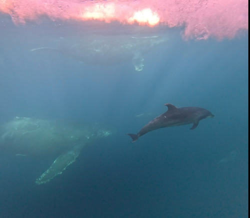
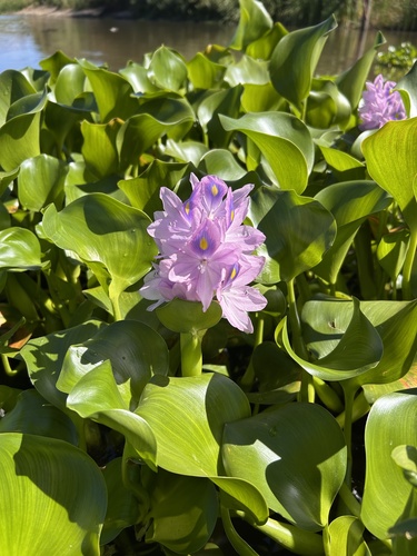
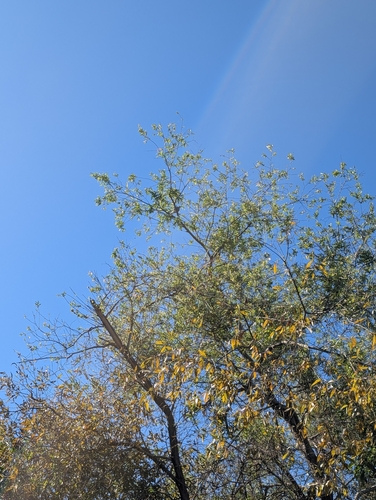
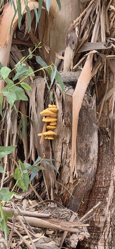
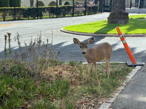
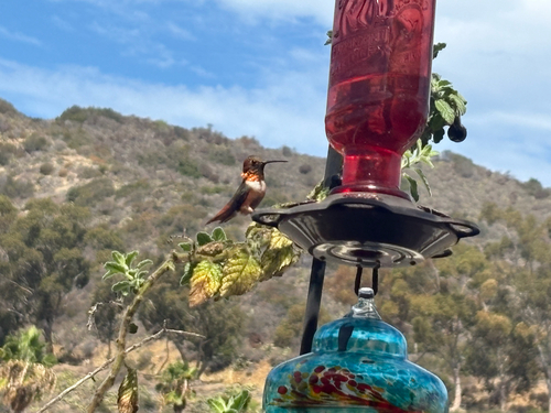
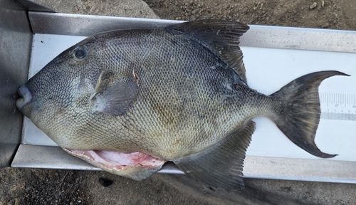
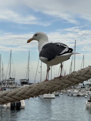
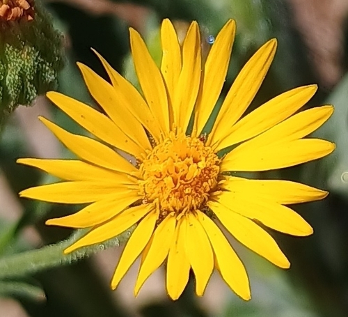
Research-grade observations from iNaturalist (within ~15 mi).
Nearest stream gauge
Events
Gallery
Sources
- • Wikipedia
- • US Census Bureau (ACS 5-year estimates)
- • NOAA National Weather Service
- • Wikidata
- • NCES via Urban Institute Education Data Portal
- • iNaturalist
- • CDC PLACES
- • Open-Meteo / sunrise-sunset.org
- • Wikipedia Pageviews API
- • Open Library
- • NASA EONET