Browse / United States / California / Calipatria
Calipatria
Californiacity

Calipatria
Total population
6,548
Median home value
$197,200
Bachelor's+
Median income
$53,299
Founded
1919
Demographic figures from US Census Bureau · ACS 5-year estimates. Overview below cites Wikipedia and may reference a different year.
City facts
Sister cities
Facts from Wikidata (CC0).
Overview
Calipatria is a city in Imperial County, California. Calipatria is located 23 miles (37 km) north of El Centro. It is part of the El Centro Metropolitan Area. The population was 6,515 at the 2020 census, down from 7,710 at the 2010 census, up from 7,289 at the 2000 census, including 4000 inmates at Calipatria State Prison. The community is located along State Route 111.
Read more on WikipediaHistory & geography
History
The Imperial Valley Farm Lands Association founded the town as Date City in 1914. The first post office at Calipatria opened in 1914. Calipatria incorporated in 1919.
Geography
Calipatria is located at . At an elevation of below sea level, at , so their American flag will always fly above sea level. According to the United States Census Bureau, the city has a total area of , all land. This area has a large amount of sunshine year round due to its stable descending air and high pressure. According to the Köppen Climate Classification system, Calipatria has a hot desert climate, abbreviated "Bwh" on climate maps.
Excerpted from the corresponding Wikipedia article (CC BY-SA).
Demographics & economy
Race & ethnicity
Source: US Census Bureau — American Community Survey, 5-year estimates.
Geography
Coordinates & boundaries from the US Census TIGER/Line shapefiles.
Climate
Current forecast
Forecast for Calipatria, CA from NOAA NWS API.
Air quality
Industrial & pollution facilities
Natural hazard risk
Health (adults)
Age-adjusted prevalence estimates from CDC PLACES (latest release).
Walkability
Amenities nearby
Wildlife & biodiversity
Most-observed species
- American KestrelFalco sparverius Linnaeus, 1758 · Aves5,844
- Black PhoebeSayornis nigricans (Swainson, 1827) · Aves5,763
- Mourning DoveZenaida macroura (Linnaeus, 1758) · Aves5,759
- Great EgretArdea alba Linnaeus, 1758 · Aves5,174
- Black-necked StiltHimantopus mexicanus (P.L.S.Müller, 1776) · Aves4,897
- KilldeerCharadrius vociferus Linnaeus, 1758 · Aves4,890
- Eurasian Collared-DoveStreptopelia decaocto (Frivaldszky, 1838) · Aves4,711
- Western MeadowlarkSturnella neglecta Audubon, 1844 · Aves4,705
Citizen-science & research observations from the Global Biodiversity Information Facility (GBIF).
Schools
Earthquake history
Most recent
- M 2.91 — 2026-08-3122 km SSW of La Quinta, CA
- M 2.65 — 2026-08-312 km NW of Delta, B.C., MX
- M 3.06 — 2026-08-2512 km WSW of Salton City, CA
- M 2.63 — 2026-08-1328 km SSW of Ocotillo Wells, CA
- M 2.92 — 2026-08-1111 km SW of Niland, CA
- M 2.95 — 2026-08-0224 km WSW of Westmorland, CA
Events from the USGS Earthquake Catalog (global) (FDSN Event Web Service).
Photos
Sights & places nearby
Notable people from here
Nearby places in California
Geography & sun
Elevation, sunrise/sunset and daylight from Open-Meteo. Solar climatology from NASA POWER.
Nearby airports
Public attention
Pageview totals from the Wikimedia Pageviews API.
Books about Calipatria
Search results from Open Library.
Recent natural events nearby
- Wildfire Campwood, Yavapai, ArizonaWildfires · 2026-08-23 · 170 mi
- Wildfire RIDGE, Los Angeles, CaliforniaWildfires · 2026-08-07 · 222 mi
- Wildfire BUZZARD, Kern, CaliforniaWildfires · 2026-08-05 · 230 mi
Wildfires, storms and other events from NASA EONET (last 12 months, within 250 mi).
Ground air-quality sensors
Recently spotted species
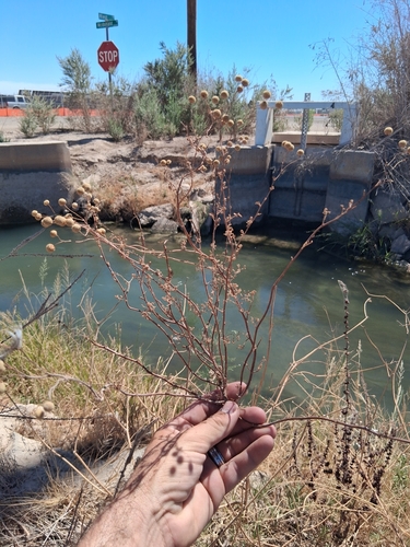
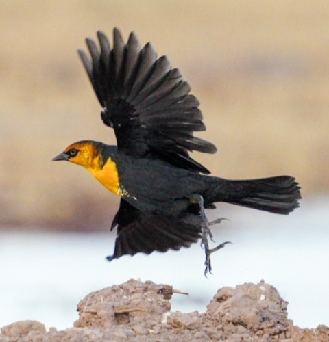
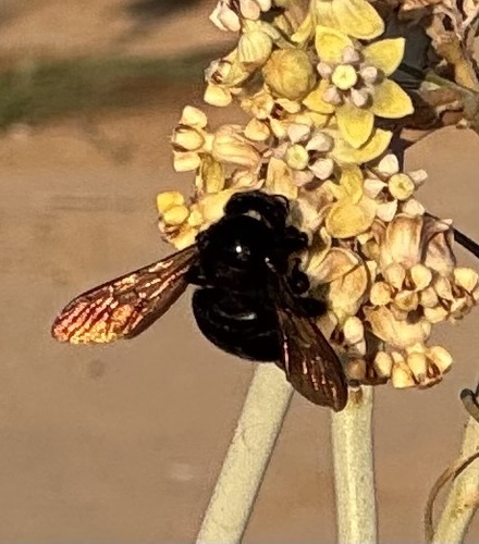
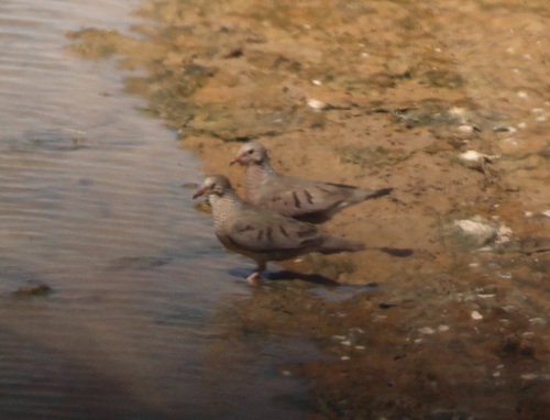
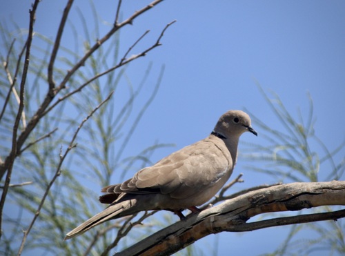
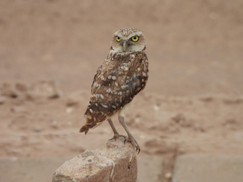
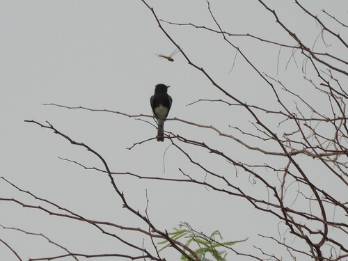
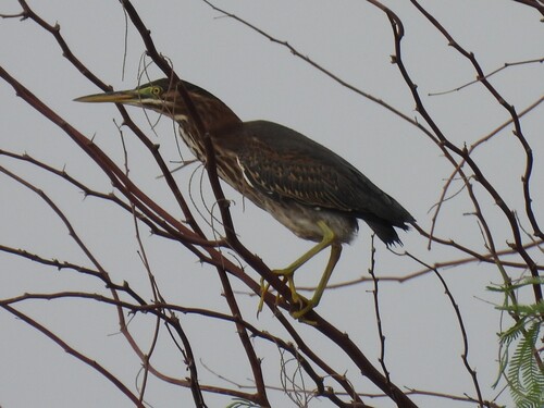
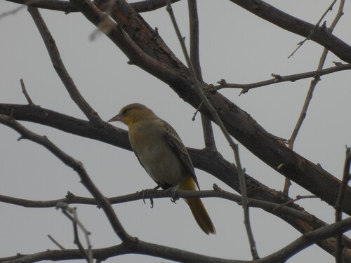
Research-grade observations from iNaturalist (within ~15 mi).
Nearest stream gauge
Events
Gallery
Sources
- • Wikipedia
- • US Census Bureau (ACS 5-year estimates)
- • NOAA National Weather Service
- • Wikidata
- • USGS Earthquake Catalog (global feed)
- • GBIF (Global Biodiversity Information Facility)
- • iNaturalist
- • CDC PLACES
- • Open-Meteo / sunrise-sunset.org
- • Wikipedia Pageviews API
- • Open Library
- • NASA EONET