Browse / United States / California / Carson
Carson
Californiacity

Carson
Total population
91,370
Median home value
$768,200
Bachelor's+
Median income
$105,234
Founded
1968
Air quality index
Demographic figures from US Census Bureau · ACS 5-year estimates. Overview below cites Wikipedia and may reference a different year.
- Heat Advisory · ModerateHeat Advisory issued October 16 at 11:03AM PDT until October 17 at 8:00PM PDT by NWS Los Angeles/Oxnard CA
Source: NOAA National Weather Service.
City facts
Facts from Wikidata (CC0).
Overview
Carson is a city in the South Bay and Harbor regions of Los Angeles County, California, located 13 miles (21 km) south of downtown Los Angeles and approximately 14 miles (23 km) away from Los Angeles International Airport. It was incorporated on February 20, 1968. The city is locally known for its plurality of Filipino-Americans and immigrants. As of the 2020 United States census, the city had a population of 95,558.
Read more on WikipediaHistory & geography
History
For thousands of years before the arrival of the first Europeans, Tongva Indians lived in the area. Carson lies on part of the Spanish land grant Rancho San Pedro, from the King of Spain in 1784. The Dominguez Rancho Adobe Museum on Alameda Street in Compton (not far from Carson's city limits) is the historic ranch home of the grantees Juan Dominguez and Manuel Dominguez. Carson was named after George Henry Carson, who married a daughter of the Dominguez family in 1857 and managed the rancho. The first oil drilling took place in 1921 at Dominguez Hill, on the northwest side of the Rancho San Pedro (also called Rancho Domínguez), site of the famous battle during the Mexican–American War called the Battle of Rancho Domínguez in 1846. The mineral rights to this property were owned by Carson Estate Company, the Hellman family, the Dominguez Estate Company, and the Burnham Exploration Company of Frederick Russell Burnham. On September 7, 1923, Burnham Exploration partnering with Union Oil brought in the first producer on the site: Callender No. 1-A well at a depth of and . In 2011, Shell was ordered by the Los Angeles Regional Water Quality Control Board to clean up the Carousel Tract neighborhood after the discovery of benzene and methane gas contamination, as well as soil and groundwater contamination. In 2021, Carson was subjected to an air pollution event as a result of hydrogen sulfide emanating from the nearby Dominguez Channel.
Geography
According to the United States Census Bureau, Carson has an area of , of it being land and , or 1.29%, being water. Carson is bordered by West Rancho Dominguez on the north, Rancho Dominguez and Long Beach on the southeast, West Carson on the southwest and Compton to the north. Bixby Marshland, a wetland habitat, is located in Carson. Carson experiences a warm-summer Mediterranean climate (Köppen climate classification: Csb), similar to that of the Los Angeles Basin with noticeably cooler temperatures during the summer due to the nearby Pacific Ocean, which is approximately away. Rainfall is scarce during the summer in Carson but receives enough rainfall throughout the year to avoid Köppen's BSh (semi-arid climate). Carson, like many of the Southern California coastal areas, is subject to a late spring/early summer weather phenomenon called "June Gloom." This involves overcast or foggy skies in the morning which yield to sun by early afternoon.
Excerpted from the corresponding Wikipedia article (CC BY-SA).
Demographics & economy
Race & ethnicity
Source: US Census Bureau — American Community Survey, 5-year estimates.
Geography
Coordinates & boundaries from the US Census TIGER/Line shapefiles.
Climate
10-year averages from ERA5 reanalysis (Open-Meteo).
Current forecast
Forecast for Carson, CA from NOAA NWS API.
Air quality
Current readings from Open-Meteo Air Quality API (Copernicus CAMS European reanalysis).
Industrial & pollution facilities
Natural hazard risk
Health (adults)
Age-adjusted prevalence estimates from CDC PLACES (latest release).
Walkability
Amenities nearby
Wildlife & biodiversity
Most-observed species
- Bladder kelpMacrocystis pyrifera (L.) C.Agardh · Phaeophyceae174,885
- House FinchHaemorhous mexicanus (P.L.Statius Müller, 1776) · Aves58,141
- Black PhoebeSayornis nigricans (Swainson, 1827) · Aves55,138
- American CrowCorvus brachyrhynchos C.L.Brehm, 1822 · Aves54,097
- Western GullLarus occidentalis Audubon, 1839 · Aves46,297
- Allen's HummingbirdSelasphorus sasin (R.Lesson, 1829) · Aves44,681
- Mourning DoveZenaida macroura (Linnaeus, 1758) · Aves42,335
- MallardAnas platyrhynchos Linnaeus, 1758 · Aves40,311
Citizen-science & research observations from the Global Biodiversity Information Facility (GBIF).
Schools
Largest nearby schools
- Downey HighHigh · Downey · 4,063 students · 23.4:1 ratio
- Polytechnic HighHigh · Long Beach · 3,952 students · 23.7:1 ratio
- Paramount HighHigh · Paramount · 3,737 students · 20.5:1 ratio
- Wilson HighHigh · Long Beach · 3,515 students · 23.8:1 ratio
- Warren (Earl) HighHigh · Downey · 3,437 students · 23.7:1 ratio
- Millikan HighHigh · Long Beach · 3,311 students · 24:1 ratio
- Redondo Union HighHigh · Redondo Beach · 3,005 students · 26.8:1 ratio
- Lakewood HighHigh · Lakewood · 2,761 students · 22.3:1 ratio
Public K–12 schools within ~10 mi from Urban Institute Education Data Portal (NCES Common Core of Data, 2022).
Earthquake history
Most recent
- M 3.16 — 2026-10-092 km SW of Signal Hill, CA
- M 2.7 — 2026-10-082 km WNW of Fontana, CA
- M 2.51 — 2026-10-0531 km SW of Dana Point, CA
- M 2.81 — 2026-10-0532 km SW of Dana Point, CA
- M 3.48 — 2026-10-0531 km SW of Dana Point, CA
- M 3.81008714964485 — 2026-09-304 km SE of Piru, CA
Events from the USGS Earthquake Catalog (global) (FDSN Event Web Service).
Photos
Sights & places nearby
Notable people from here


People born within ~10 km, from Wikidata (CC0). Click any name for their Wikipedia article.
Nearby places in California
- Alondra Park6 mi away
- Del Aire8.7 mi away
- Florence-Graham8.8 mi away · pop. 60,690
- Hermosa Beach9.2 mi away
- Artesia9.9 mi away
- Hawaiian Gardens10.1 mi away · pop. 13,691
- Cerritos10.5 mi away · pop. 47,867
- Palos Verdes Estates11.1 mi away · pop. 12,925
- El Segundo11.2 mi away
- Los Alamitos11.2 mi away · pop. 11,794
- Commerce12.1 mi away · pop. 11,993
- Cypress12.2 mi away · pop. 49,498
Geography & sun
Elevation, sunrise/sunset and daylight from Open-Meteo. Solar climatology from NASA POWER.
Nearby airports
Public attention
Pageview totals from the Wikimedia Pageviews API.
Books about Carson


Search results from Open Library.
Recent natural events nearby
- Wildfire BOUQUET, Los Angeles, CaliforniaWildfires · 2026-10-03 · 51 mi
- Wildfire RIDGE, Los Angeles, CaliforniaWildfires · 2026-08-07 · 74 mi
- Wildfire BUZZARD, Kern, CaliforniaWildfires · 2026-08-05 · 83 mi
- Wildfire CYRUS, Kern, CaliforniaWildfires · 2026-10-09 · 129 mi
- Wildfire PLAINS, San Luis Obispo, CaliforniaWildfires · 2026-08-12 · 148 mi
- Cyclone RachelSevere Storms · 2026-10-11 · 164 mi
- Prescribed Fire CRAWFORD CORRAL RX, Tulare, CaliforniaWildfires · 2026-09-19 · 195 mi
- Wildfire Plaskett, Monterey, CaliforniaWildfires · 2026-08-26 · 229 mi
Wildfires, storms and other events from NASA EONET (last 12 months, within 250 mi).
Ground air-quality sensors
Recently spotted species
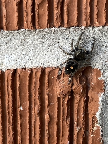
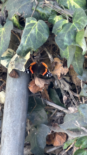
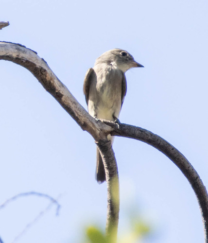
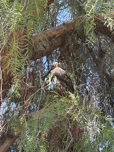
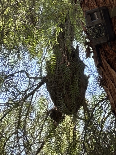
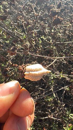
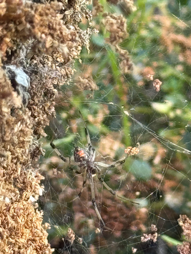
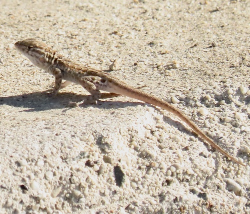
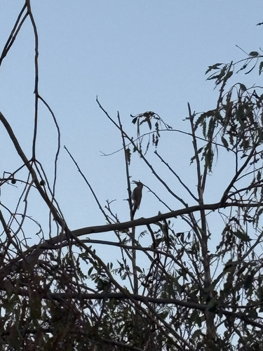
Research-grade observations from iNaturalist (within ~15 mi).
Nearest stream gauge
Live readings from USGS NWIS · measured 2026-10-16 17:30 UTC.
Events
Gallery
Sources
- • Wikipedia
- • US Census Bureau (ACS 5-year estimates)
- • Open-Meteo (ERA5 reanalysis)
- • NOAA National Weather Service
- • Wikidata
- • Open-Meteo Air Quality (CAMS)
- • USGS Earthquake Catalog (global feed)
- • USGS NWIS (water data)
- • NCES via Urban Institute Education Data Portal
- • GBIF (Global Biodiversity Information Facility)
- • iNaturalist
- • CDC PLACES
- • Open-Elevation
- • Open-Meteo / sunrise-sunset.org
- • Wikipedia Pageviews API
- • Open Library
- • NASA EONET