Browse / United States / California / Coachella
Coachella
Californiacity

Coachella
Total population
43,307
Median home value
$367,600
Bachelor's+
Median income
$68,596
Founded
1876
Demographic figures from US Census Bureau · ACS 5-year estimates. Overview below cites Wikipedia and may reference a different year.
City facts
Sister cities
Facts from Wikidata (CC0).
Overview
Coachella is a city in Riverside County, California, United States. It is the namesake and easternmost city of the Coachella Valley, in Southern California's Colorado Desert. Originally a railroad town, Coachella is a prominent hub for agriculture and shipping across Southern California and the Western United States.
Read more on WikipediaHistory & geography
History
The city was founded as Woodspur in 1876, when the Southern Pacific Railroad built a rail siding on the site to allow the harvesting of mesquite lumber for use by the railroad and later for shipment to the Los Angeles market. Jason L. Rector, an employee of Southern Pacific, was the first recorded non-Native American resident of Woodspur. In the 1880s, in the decade after the federal government divided the land the indigenous Cahuilla tribe had historically occupied between the tribe and railroads on a checkerboard pattern, the tribe sold its land plots to the railroads for new lands east of the current town site. In the 1890s, a few hundred traqueros, including a number of immigrant Mexican railroad workers, settled along the tracks. Coachella was transformed from a territory gridded out on the mesquite-covered desert floor to a town in its own right after Rector and his brother dug the first artesian well in 1900, providing fresh water to support incoming settlers and irrigation for agriculture. In 1901, the citizens of Woodspur voted on a new name for their community at a town hall meeting, settling on "Coachella". The name does not mean anything in Spanish or any of the indigenous languages of the region. After their first test well proved successful the Rector brothers cleared 25 acres, which they planted in barley, wheat, cantaloupes, watermelons and sugar beets, later that year. As the Los Angeles Times reported at the time, "the land proved wonderfully fertile, and all of the crops did well, coming to maturity in a phenomenally short time." The Coachella Valley was especially attractive because it was able to produce crops earlier than other regions in the Southwestern United States. By 1902 over 100 artesian wells had been drilled in the Valley as…
Geography
According to the United States Census Bureau, the city has a total area of , all of it land.
Excerpted from the corresponding Wikipedia article (CC BY-SA).
Demographics & economy
Race & ethnicity
Source: US Census Bureau — American Community Survey, 5-year estimates.
Geography
Coordinates & boundaries from the US Census TIGER/Line shapefiles.
Climate
Current forecast
Forecast for Coachella, CA from NOAA NWS API.
Air quality
Industrial & pollution facilities
Natural hazard risk
Health (adults)
Age-adjusted prevalence estimates from CDC PLACES (latest release).
Walkability
Amenities nearby
Wildlife & biodiversity
Most-observed species
- Mourning DoveZenaida macroura (Linnaeus, 1758) · Aves4,176
- Costa's HummingbirdCalypte costae (Bourcier, 1839) · Aves4,134
- House FinchHaemorhous mexicanus (P.L.Statius Müller, 1776) · Aves4,094
- Northern MockingbirdMimus polyglottos (Linnaeus, 1758) · Aves4,089
- Common RavenCorvus corax Linnaeus, 1758 · Aves3,920
- VerdinAuriparus flaviceps (Sundevall, 1850) · Aves3,758
- Black PhoebeSayornis nigricans (Swainson, 1827) · Aves3,429
- Yellow-rumped WarblerSetophaga coronata (Linnaeus, 1766) · Aves2,871
Citizen-science & research observations from the Global Biodiversity Information Facility (GBIF).
Schools
Largest nearby schools
- Coachella Valley HighHigh · Thermal · 2,657 students · 21.1:1 ratio
- La Quinta HighHigh · La Quinta · 2,500 students · 24.8:1 ratio
- Indio HighHigh · Indio · 2,143 students · 25.5:1 ratio
- Desert Mirage HighHigh · Thermal · 2,018 students · 21:1 ratio
- Shadow Hills HighHigh · Indio · 1,751 students · 22.7:1 ratio
- Imagine Schools Riverside CountyElementary · Coachella · 1,312 students · 23.9:1 ratio
- John Glenn Middle School of International StudiesMiddle · Indio · 1,045 students · 23.8:1 ratio
- Desert Ridge AcademyMiddle · Indio · 1,030 students · 25.8:1 ratio
Public K–12 schools within ~10 mi from Urban Institute Education Data Portal (NCES Common Core of Data, 2022).
Earthquake history
Photos
Sights & places nearby
Notable people from here


People born within ~10 km, from Wikidata (CC0). Click any name for their Wikipedia article.
Nearby places in California
- Oasis11.3 mi away
- Indio Hills12 mi away · pop. 1,117
- Palm Desert13.1 mi away · pop. 51,163
- North Shore18.1 mi away
- Cathedral City20.9 mi away · pop. 52,267
- Desert Hot Springs29.4 mi away · pop. 33,200
- Borrego Springs33.4 mi away · pop. 2,700
- Mountain Center33.4 mi away
- Idyllwild-Pine Cove34 mi away
- Cabazon39.8 mi away
- Homestead Valley43.2 mi away
- East Hemet45.9 mi away
Geography & sun
Elevation, sunrise/sunset and daylight from Open-Meteo. Solar climatology from NASA POWER.
Nearby airports
Public attention
Pageview totals from the Wikimedia Pageviews API.
Books about Coachella


Search results from Open Library.
Recent natural events nearby
- Cyclone RachelSevere Storms · 2026-10-11 · 45 mi
- Wildfire BOUQUET, Los Angeles, CaliforniaWildfires · 2026-10-03 · 143 mi
- Wildfire RIDGE, Los Angeles, CaliforniaWildfires · 2026-08-07 · 171 mi
- Wildfire BUZZARD, Kern, CaliforniaWildfires · 2026-08-05 · 179 mi
- Wildfire Campwood, Yavapai, ArizonaWildfires · 2026-08-23 · 186 mi
- Wildfire CYRUS, Kern, CaliforniaWildfires · 2026-10-09 · 190 mi
- Prescribed Fire McCRAKEN RX-WRD CY26, Coconino, ArizonaWildfires · 2026-10-01 · 242 mi
- Wildfire PLAINS, San Luis Obispo, CaliforniaWildfires · 2026-08-12 · 250 mi
Wildfires, storms and other events from NASA EONET (last 12 months, within 250 mi).
Ground air-quality sensors
Recently spotted species
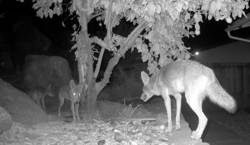
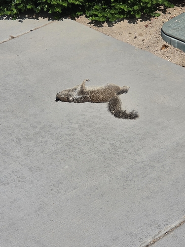
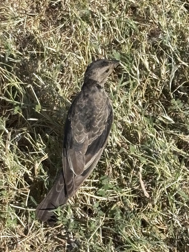
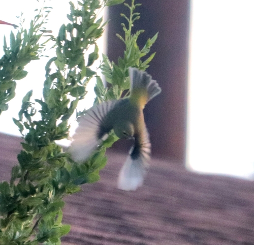
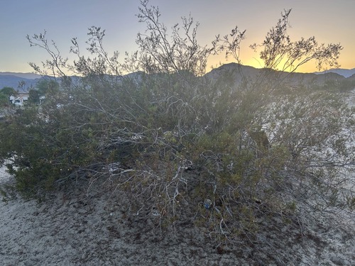
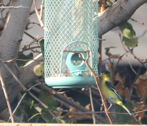
Research-grade observations from iNaturalist (within ~15 mi).
Nearest stream gauge
Events
Gallery
Sources
- • Wikipedia
- • US Census Bureau (ACS 5-year estimates)
- • NOAA National Weather Service
- • Wikidata
- • NCES via Urban Institute Education Data Portal
- • GBIF (Global Biodiversity Information Facility)
- • iNaturalist
- • CDC PLACES
- • Open-Meteo / sunrise-sunset.org
- • Wikipedia Pageviews API
- • Open Library
- • NASA EONET