Browse / United States / California / Fort Irwin
Fort Irwin
CaliforniaCDP

Fort Irwin
Total population
8,419
Median home value
$0
Bachelor's+
Median income
$76,107
Demographic figures from US Census Bureau · ACS 5-year estimates. Overview below cites Wikipedia and may reference a different year.
City facts
Overview
Fort Irwin National Training Center is a major training area for the United States military in the Mojave Desert in northern San Bernardino County, California. Fort Irwin is at an average elevation of 2,454 feet (748 m). It is located 37 miles (60 km) northeast of Barstow, in the Calico Mountains.
Read more on WikipediaHistory & geography
Demographics & economy
Race & ethnicity
Source: US Census Bureau — American Community Survey, 5-year estimates.
Geography
Coordinates & boundaries from the US Census TIGER/Line shapefiles.
Climate
Current forecast
Forecast for Fort Irwin, CA from NOAA NWS API.
Air quality
Industrial & pollution facilities
Natural hazard risk
Health (adults)
Age-adjusted prevalence estimates from CDC PLACES (latest release).
Walkability
Amenities nearby
Wildlife & biodiversity
Schools
Largest nearby schools
- Congressman Jerry Lewis ElementaryElementary · Fort Irwin · 453 students · 18.1:1 ratio
- Tiefort View IntermediateElementary · Fort Irwin · 361 students · 22.6:1 ratio
- Fort Irwin MiddleMiddle · Fort Irwin · 239 students · 17.1:1 ratio
Public K–12 schools within ~10 mi from Urban Institute Education Data Portal (NCES Common Core of Data, 2022).
Earthquake history
Photos
Sights & places nearby
Notable people from here

People born within ~10 km, from Wikidata (CC0). Click any name for their Wikipedia article.
Nearby places in California
- Apple Valley57.7 mi away · pop. 75,039
- Boron57.7 mi away · pop. 2,698
- Homewood Canyon59.4 mi away
- Mountain View Acres64 mi away
- North Edwards65.1 mi away · pop. 903
- China Lake Acres66.7 mi away
- Big Bear City68.9 mi away · pop. 11,431
- Homestead Valley69.1 mi away
- Inyokern69.8 mi away
- Big Bear Lake70.4 mi away · pop. 5,041
- Oak Hills72 mi away
- Crestline76.7 mi away
Geography & sun
Elevation, sunrise/sunset and daylight from Open-Meteo. Solar climatology from NASA POWER.
Nearby airports
Public attention
Pageview totals from the Wikimedia Pageviews API.
Books about Fort Irwin


Search results from Open Library.
Recent natural events nearby
- Wildfire RIDGE, Los Angeles, CaliforniaWildfires · 2026-08-07 · 125 mi
- Wildfire BUZZARD, Kern, CaliforniaWildfires · 2026-08-05 · 129 mi
- Prescribed Fire CRAWFORD CORRAL RX, Tulare, CaliforniaWildfires · 2026-09-19 · 159 mi
- Wildfire PLAINS, San Luis Obispo, CaliforniaWildfires · 2026-08-12 · 187 mi
- Wildfire Campwood, Yavapai, ArizonaWildfires · 2026-08-23 · 207 mi
- Wildfire DOME, Mariposa, CaliforniaWildfires · 2026-09-15 · 229 mi
Wildfires, storms and other events from NASA EONET (last 12 months, within 250 mi).
Ground air-quality sensors
Recently spotted species
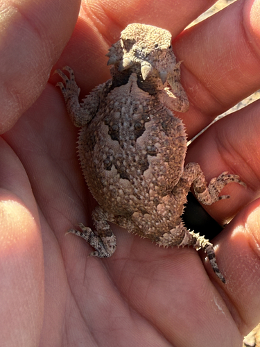
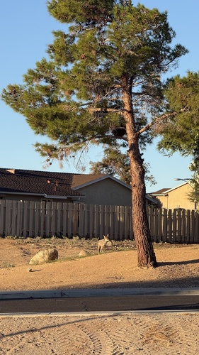
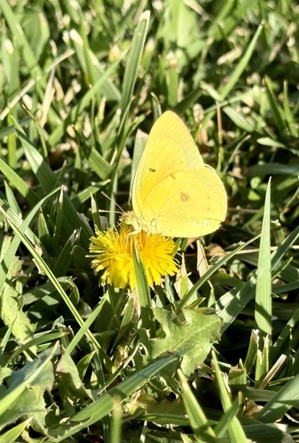
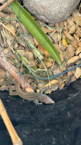
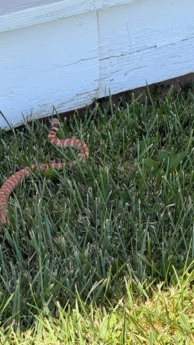
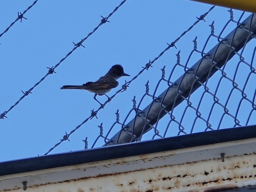
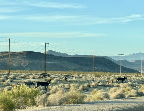
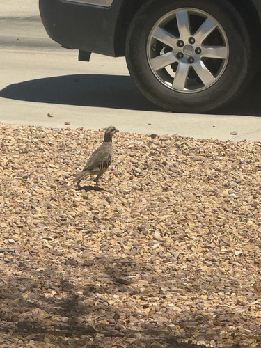
Research-grade observations from iNaturalist (within ~15 mi).
Nearest stream gauge
Events
Gallery
Sources
- • Wikipedia
- • US Census Bureau (ACS 5-year estimates)
- • NOAA National Weather Service
- • Wikidata
- • NCES via Urban Institute Education Data Portal
- • iNaturalist
- • CDC PLACES
- • Open-Meteo / sunrise-sunset.org
- • Wikipedia Pageviews API
- • Open Library
- • NASA EONET