Browse / United States / California / Lake Arrowhead
Lake Arrowhead
CaliforniaCDP

Lake Arrowhead
Total population
10,639
Median home value
$596,500
Bachelor's+
Median income
$95,236
Demographic figures from US Census Bureau · ACS 5-year estimates. Overview below cites Wikipedia and may reference a different year.
City facts
Facts from Wikidata (CC0).
Overview
Lake Arrowhead is an unincorporated community and a census-designated place (CDP) in the San Bernardino Mountains of San Bernardino County, California, surrounded by the San Bernardino National Forest, and surrounding the eponymous Lake Arrowhead Reservoir. Lake Arrowhead is located 13 miles (21 km) north east of the San Bernardino city limits. The population of the CDP was estimated at 12,401 in the 2020 census. It was called "Little Bear Lake" until around 1920, when a group from Los Angeles, the Arrowhead Lake Company, bought the lake and the land surrounding it, and changed its name to Arrowhead Lake.
Read more on WikipediaHistory & geography
History
The area now known as Lake Arrowhead was originally called Little Bear Valley. In the late 1800s, developers began damming Little Bear Creek to create a reservoir for irrigation and hydroelectric use. By 1904, the Arrowhead Reservoir Company had taken over the project, but in 1913, a landmark court decision prohibited the diversion of water across watershed boundaries, halting further irrigation plans. In 1920, a Los Angeles-based group purchased the lake and surrounding land, forming the Arrowhead Lake Company. Between 1921 and 1923, they built a Norman-style resort village that included a pavilion, outdoor theater, dance hall, golf course, beach, and hotel. The development officially opened in June 1922 and began attracting tourists and second-home buyers from Southern California. Lake Arrowhead continued evolving as a resort destination through the mid-20th century, frequented by Hollywood celebrities and wealthy families. In 1960, businessman Jules Berman and partners acquired the lake property, launching new development through the Lake Arrowhead Development Company. By the late 1960s, the area was acquired by Boise Cascade, which subdivided large portions for residential sales before exiting in the early 1970s. Today, much of Lake Arrowhead’s infrastructure—roads, water, and sewer systems—is managed by the Lake Arrowhead Community Services District (LACSD), which was formed in 1978 after the dissolution of prior private utilities.
Geography
Lake Arrowhead is located in the Inland Empire region of Southern California, about 20 minutes north of the San Bernardino city limits. Its economic center is at the intersection of State Routes 173 and 189. The CDP has a total area of 19.0 square miles (49.1 km), of which 17.7 square miles (45.9 km) is land and 1.2 square miles (3.2 km; 6.46%) is water. Lake Arrowhead is a private lake governed by the Arrowhead Lake Association and is for restricted use by Lake Arrowhead property owners. : Lake size: (capacity) : Shoreline: : Elevation: 5106.70 (capacity) : Maximum depth: : Lake width: : Lake length: Outside of Lake Arrowhead Village there are several residential communities, which include Cedar Glen, Blue Jay, Rimforest, Skyforest, Twin Peaks, Crest Park, Hook Creek Tract, Deer Lodge Park, Arrowhead Villas, Grass Valley, and Agua Fria. There are three elementary schools, one middle school, and one high school in the area. north of Lake Arrowhead is the Pacific Crest Trail. Santa's Village at Lake Arrowhead was a popular theme park from 1955 to 1998, and reopened in 2016. It was the first franchised one in the United States, with two others in the Santa Cruz Mountains and Illinois.
Excerpted from the corresponding Wikipedia article (CC BY-SA).
Demographics & economy
Race & ethnicity
Source: US Census Bureau — American Community Survey, 5-year estimates.
Geography
Coordinates & boundaries from the US Census TIGER/Line shapefiles.
Climate
Current forecast
Forecast for Lake Arrowhead, CA from NOAA NWS API.
Air quality
Industrial & pollution facilities
Natural hazard risk
Health (adults)
Walkability
Amenities nearby
Wildlife & biodiversity
Most-observed species
- Steller's JayCyanocitta stelleri (Gmelin, 1788) · Aves5,558
- Mountain ChickadeePoecile gambeli (Ridgway, 1886) · Aves5,531
- Common RavenCorvus corax Linnaeus, 1758 · Aves4,907
- Acorn WoodpeckerMelanerpes formicivorus (Swainson, 1827) · Aves4,684
- Dark-eyed JuncoJunco hyemalis (Linnaeus, 1758) · Aves4,332
- Northern FlickerColaptes auratus (Linnaeus, 1758) · Aves4,116
- House FinchHaemorhous mexicanus (P.L.Statius Müller, 1776) · Aves4,059
- White-breasted NuthatchSitta carolinensis Latham, 1790 · Aves3,381
Citizen-science & research observations from the Global Biodiversity Information Facility (GBIF).
Schools
Earthquake history
Most recent
- M 2.67 — 2026-09-0839 km NE of Big Bear City, CA
- M 3.2 — 2026-09-026 km SE of Ontario, CA
- M 2.78 — 2026-08-166 km SE of Ontario, CA
- M 3.04 — 2026-08-1210 km WSW of Corona, CA
- M 3.22 — 2026-08-0117 km E of Desert Hot Springs, CA
- M 2.54 — 2026-07-176 km NE of Cabazon, CA
Events from the USGS Earthquake Catalog (global) (FDSN Event Web Service).
Photos
Sights & places nearby
Notable people from here


People born within ~10 km, from Wikidata (CC0). Click any name for their Wikipedia article.
Nearby places in California
- Crestline6.2 mi away
- Muscoy11.9 mi away
- Mentone13.8 mi away · pop. 9,514
- Loma Linda15.1 mi away · pop. 25,122
- Oak Hills15.9 mi away
- Big Bear Lake16.2 mi away · pop. 5,041
- Grand Terrace17.2 mi away
- Bloomington18.5 mi away · pop. 25,698
- Oak Glen19.2 mi away
- Apple Valley19.4 mi away · pop. 75,039
- Mountain View Acres19.4 mi away
- Big Bear City21.8 mi away · pop. 11,431
Geography & sun
Elevation, sunrise/sunset and daylight from Open-Meteo. Solar climatology from NASA POWER.
Nearby airports
Public attention
Pageview totals from the Wikimedia Pageviews API.
Books about Lake Arrowhead


Search results from Open Library.
Recent natural events nearby
- Wildfire RIDGE, Los Angeles, CaliforniaWildfires · 2026-08-07 · 101 mi
- Wildfire BUZZARD, Kern, CaliforniaWildfires · 2026-08-05 · 109 mi
- Wildfire PLAINS, San Luis Obispo, CaliforniaWildfires · 2026-08-12 · 179 mi
- Prescribed Fire CRAWFORD CORRAL RX, Tulare, CaliforniaWildfires · 2026-09-19 · 191 mi
- Wildfire Campwood, Yavapai, ArizonaWildfires · 2026-08-23 · 234 mi
Wildfires, storms and other events from NASA EONET (last 12 months, within 250 mi).
Ground air-quality sensors
Recently spotted species
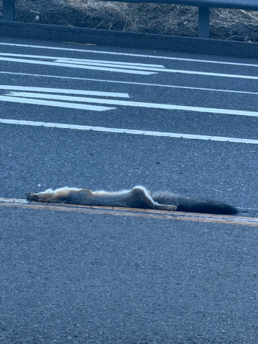
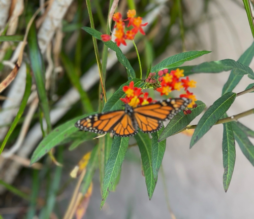
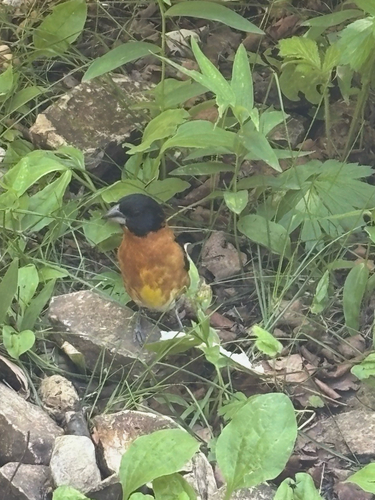
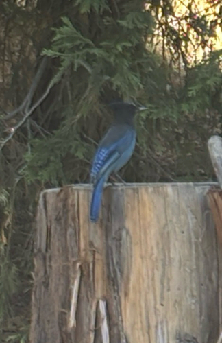
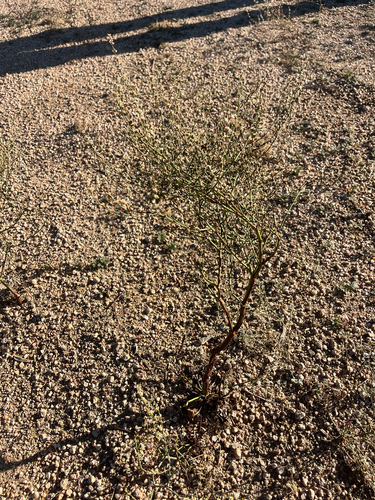
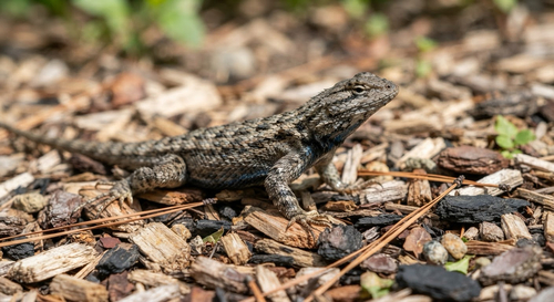
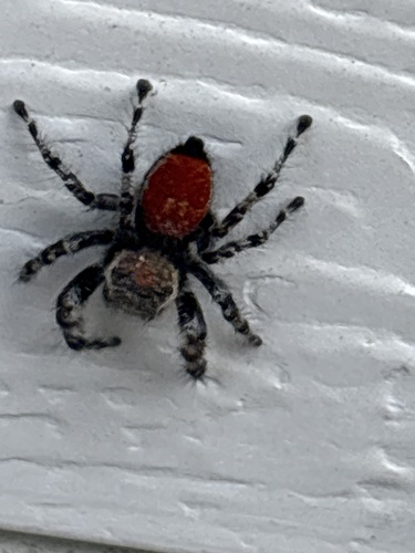
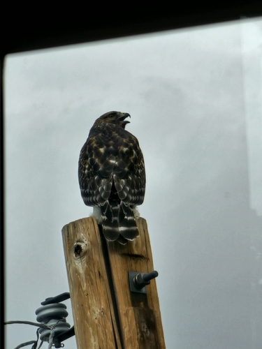
Research-grade observations from iNaturalist (within ~15 mi).
Nearest stream gauge
Events
Gallery
Sources
- • Wikipedia
- • US Census Bureau (ACS 5-year estimates)
- • NOAA National Weather Service
- • Wikidata
- • USGS Earthquake Catalog (global feed)
- • GBIF (Global Biodiversity Information Facility)
- • iNaturalist
- • Open-Meteo / sunrise-sunset.org
- • Wikipedia Pageviews API
- • Open Library
- • NASA EONET