Browse / United States / California / Mission Viejo
Mission Viejo
Californiacity

Mission Viejo
Total population
92,151
Median home value
$1,009,600
Bachelor's+
Median income
$136,123
Demographic figures from US Census Bureau · ACS 5-year estimates. Overview below cites Wikipedia and may reference a different year.
- Wind Advisory · ModerateWind Advisory issued October 16 at 5:10AM PDT until October 17 at 12:00PM PDT by NWS San Diego CA
- Heat Advisory · ModerateHeat Advisory issued October 16 at 5:10AM PDT until October 17 at 8:00PM PDT by NWS San Diego CA
Source: NOAA National Weather Service.
City facts
Facts from Wikidata (CC0).
Overview
Mission Viejo is a commuter city in the Saddleback Valley in Orange County, California, United States. Mission Viejo is considered one of the largest master-planned communities ever built under a single project in the United States and is rivaled only by Highlands Ranch, Colorado in size. Its population as of 2020 was 93,653.
Read more on WikipediaHistory & geography
History
Rancho Mission Viejo was purchased by Don Juan Forster, an English-born Mexican ranchero. During the Mexican–American War, Forster provided fresh horses to United States military forces which were used on the march of San Diego to invade Los Angeles. Mission Viejo was a hilly region primarily used as cattle and sheep grazing land, since it was of little use to farmers. This city was one of the last regions of Orange County to be urbanized due to its geologic complexity. In 1960, early developers dismissed most of the land in Mission Viejo as simply "undevelopable". Donald Bren, an urban planner who later became the president of the Irvine Company, drafted a master plan which placed roads in the valleys and houses on the hills, and contoured to the geography of the area. The houses and shopping centers in the city are almost uniformly designed in a Spanish mission style, with "adobe"-like stucco walls and barrel-tile roofs. Many point to Mission Viejo as the first and largest manifestation of Bren's obsession with Spanish architecture. Bren's company was also the creator of the developments in Irvine and Newport Beach. The company expanded its operations and went on to build the Lakes project in Tempe, Arizona and Mission Viejo Aurora, and was the initial master planner of Highlands Ranch, both located in the Denver, Colorado Metropolitan area.
Geography
According to the United States Census Bureau, the city has a total area of , of which is land and (2.05%) is water. It is bordered by Lake Forest on the northwest, Trabuco Canyon on the northeast, Rancho Santa Margarita and Ladera Ranch on the east, San Juan Capistrano on the south, and Laguna Niguel and Laguna Hills on the west. Mission Viejo enjoys a borderline semi-arid/Mediterranean climate (Köppen climate classification BSh/Csa), with mild temperatures and plentiful sunshine year-round. Rainfall totals, which average around annually are focused primarily in the months from November to March. Summer is very dry and virtually rainless. Due to the city's proximity to the ocean, nighttime and morning clouds are fairly common, especially in May and June, a weather phenomenon commonly known as June Gloom or May Gray. Like most of Southern California, the city is prone to dry Santa Ana winds, bringing hot air from inland and punctuating the normally mild temperatures with noticeable jumps. For example, temperatures have reached highs of and above throughout many months of the year, occasionally into autumn. From 2012 to 2016, California experienced the worst drought in a century. In 2016, California experienced more rainfall than expected and ended most of the drought. Orange County was the last to have drought restrictions lifted.
Excerpted from the corresponding Wikipedia article (CC BY-SA).
Demographics & economy
Race & ethnicity
Source: US Census Bureau — American Community Survey, 5-year estimates.
Geography
Coordinates & boundaries from the US Census TIGER/Line shapefiles.
Climate
Current forecast
Forecast for Mission Viejo, CA from NOAA NWS API.
Air quality
Industrial & pollution facilities
Natural hazard risk
Health (adults)
Age-adjusted prevalence estimates from CDC PLACES (latest release).
Walkability
Amenities nearby
Wildlife & biodiversity
Most-observed species
- American CrowCorvus brachyrhynchos C.L.Brehm, 1822 · Aves70,478
- House FinchHaemorhous mexicanus (P.L.Statius Müller, 1776) · Aves65,905
- Black PhoebeSayornis nigricans (Swainson, 1827) · Aves55,214
- Song SparrowMelospiza melodia (A.Wilson, 1810) · Aves49,829
- Lesser GoldfinchSpinus psaltria (Say, 1822) · Aves45,736
- Mourning DoveZenaida macroura (Linnaeus, 1758) · Aves44,573
- Allen's HummingbirdSelasphorus sasin (R.Lesson, 1829) · Aves44,361
- Anna's HummingbirdCalypte anna (R.Lesson, 1829) · Aves43,513
Citizen-science & research observations from the Global Biodiversity Information Facility (GBIF).
Schools
Largest nearby schools
- California Connections Academy Southern CaliforniaOther · San Juan Capistrano · 5,141 students · 30.2:1 ratio
- San Juan Hills HighHigh · San Juan Capistrano · 2,857 students · 23.2:1 ratio
- Aliso Niguel HighHigh · Aliso Viejo · 2,774 students · 24.3:1 ratio
- Trabuco Hills HighHigh · Mission Viejo · 2,579 students · 23.2:1 ratio
- Tesoro HighHigh · Las Flores · 2,217 students · 24.1:1 ratio
- El Toro HighHigh · Lake Forest · 2,031 students · 23.1:1 ratio
- Capistrano Valley HighHigh · Mission Viejo · 2,029 students · 22.3:1 ratio
- Dana Hills HighHigh · Dana Point · 1,965 students · 20.9:1 ratio
Public K–12 schools within ~10 mi from Urban Institute Education Data Portal (NCES Common Core of Data, 2022).
Earthquake history
Most recent
- M 2.77 — 2026-10-153 km NNW of San Jacinto, CA
- M 2.71 — 2026-10-114 km E of San Jacinto, CA
- M 3.16 — 2026-10-092 km SW of Signal Hill, CA
- M 2.7 — 2026-10-082 km WNW of Fontana, CA
- M 2.51 — 2026-10-0531 km SW of Dana Point, CA
- M 2.81 — 2026-10-0532 km SW of Dana Point, CA
Events from the USGS Earthquake Catalog (global) (FDSN Event Web Service).
Photos
Sights & places nearby
Notable people from here
People born within ~10 km, from Wikidata (CC0). Click any name for their Wikipedia article.
Nearby places in California
- Las Flores2.6 mi away · pop. 5,513
- Laguna Woods4.3 mi away · pop. 17,289
- Modjeska7.1 mi away · pop. 714
- Dana Point9.5 mi away · pop. 32,790
- North Tustin13.3 mi away
- Cypress26.3 mi away · pop. 49,498
- Los Alamitos26.6 mi away · pop. 11,794
- Rowland Heights28.3 mi away · pop. 45,911
- Hawaiian Gardens28.4 mi away · pop. 13,691
- East Whittier28.9 mi away
- Cerritos29.7 mi away · pop. 47,867
- Fallbrook29.9 mi away · pop. 32,112
Geography & sun
Elevation, sunrise/sunset and daylight from Open-Meteo. Solar climatology from NASA POWER.
Nearby airports
Public attention
Pageview totals from the Wikimedia Pageviews API.
Books about Mission Viejo


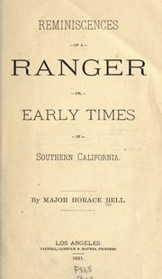
Search results from Open Library.
Recent natural events nearby
- Wildfire RIDGE, Los Angeles, CaliforniaWildfires · 2026-08-07 · 106 mi
- Wildfire BUZZARD, Kern, CaliforniaWildfires · 2026-08-05 · 115 mi
- Wildfire PLAINS, San Luis Obispo, CaliforniaWildfires · 2026-08-12 · 183 mi
- Prescribed Fire CRAWFORD CORRAL RX, Tulare, CaliforniaWildfires · 2026-09-19 · 220 mi
Wildfires, storms and other events from NASA EONET (last 12 months, within 250 mi).
Ground air-quality sensors
Recently spotted species
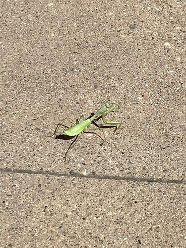
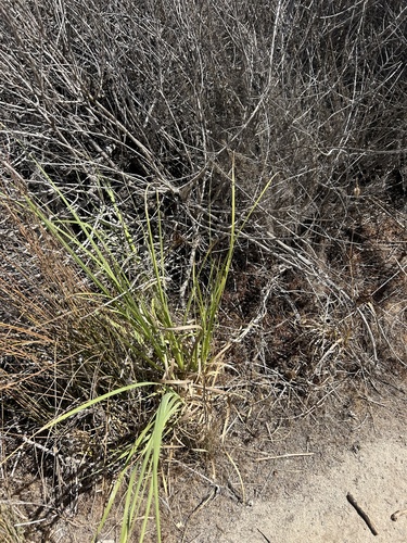
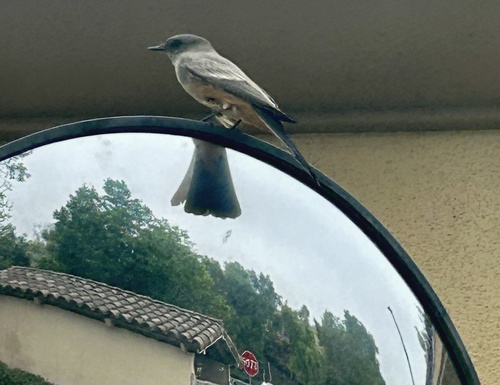
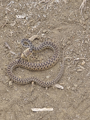
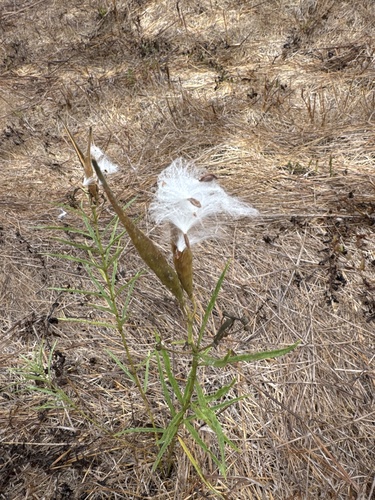
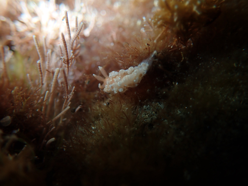
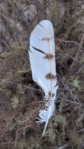
Research-grade observations from iNaturalist (within ~15 mi).
Nearest stream gauge
Live readings from USGS NWIS · measured 2026-10-01 15:45 UTC.
Events
Gallery
Sources
- • Wikipedia
- • US Census Bureau (ACS 5-year estimates)
- • NOAA National Weather Service
- • Wikidata
- • USGS Earthquake Catalog (global feed)
- • USGS NWIS (water data)
- • NCES via Urban Institute Education Data Portal
- • GBIF (Global Biodiversity Information Facility)
- • iNaturalist
- • CDC PLACES
- • Open-Meteo / sunrise-sunset.org
- • Wikipedia Pageviews API
- • Open Library
- • NASA EONET