Browse / United States / California / Moreno Valley
Moreno Valley
Californiacity

Moreno Valley
Total population
213,893
Median home value
$581,500
Bachelor's+
Median income
$92,716
Founded
1984
Demographic figures from US Census Bureau · ACS 5-year estimates. Overview below cites Wikipedia and may reference a different year.
- High Wind Warning · SevereHigh Wind Warning issued October 16 at 5:10AM PDT until October 17 at 8:00PM PDT by NWS San Diego CA
Source: NOAA National Weather Service.
City facts
Facts from Wikidata (CC0).
Overview
Moreno Valley is a city in Riverside County, California, United States, and is part of the Riverside–San Bernardino metropolitan area. It is the second-largest city in Riverside County by population and one of the Inland Empire's population centers. The city's population was 208,634 at the 2020 census. Moreno Valley is also part of the greater Los Angeles metropolitan area.
Read more on WikipediaHistory & geography
History
The Moreno Valley area was first inhabited 2,300 years ago. There are at least 200 prehistoric archaeological locations within the city. The majority of the sites are milling stations – where chaparral seed was the dominant milling activity. Rock art, consisting of pictographs, and petroglyphs are present – though most of the petroglyphs in Moreno Valley consist of boulders with "cupules", or cup-shaped holes pecked into them. Spanish scouts initially came across descendants of the Shoshone and Luiseño tribes, although other groups, such as the Serrano and Cahuilla, were in the area. The late prehistoric Luiseño and Cahuilla were semisedentary, meaning that they wintered in villages, then spread out in family groups during the spring and summer months to harvest seeds and acorns. Spanish scouts blazed a number of trails in the area, including the Anza Trail, which runs through the Edgemont area of present-day Moreno Valley. When California was admitted to the United States as a state in 1850, Americans began to move into the area. The Tucson-to-San Francisco route of John Butterfield's Overland Mail Company passed through it. Some farmers began to occupy the area, relying upon water from Frank E. Brown's Bear Valley Land and Water Company. Beginning in 1883, the company collected and pumped water from Bear Valley in the San Bernardino Mountains to the north. The area first acquired its current name, Moreno Valley, at this time, referring to Frank Brown (moreno is Spanish for "brown" or "brunet"). In 1899, the city of Redlands won a lawsuit in which the city claimed eminent domain over the Bear Valley water. The resulting loss of service forced most of the area's inhabitants to move. By 1984, the population was 49,702 (compared to 18,871 residents in 1970). The…
Geography
According to the United States Census Bureau, the city has a total area of , of which, of it is land and of it is water. Moreno Valley is located at a geographic crossroad. To the east lies the San Gorgonio Pass and Coachella Valley; to the south are Lake Perris, Perris, and the San Jacinto Mountains; to the north are the San Bernardino Valley and San Bernardino Mountains. To the west lies neighboring Riverside. It is relatively close to Ontario International Airport. One of the most visible geographical features in Moreno Valley is Box Springs Mountain. This mountain at the northwest end of the city rises over the city, providing a concrete landmark. The section of the mountain that faces the city has a large letter "M" constructed upon it. This was built privately at the encouragement of the city council, which argued it would foster unity. The letter is located on public land and is maintained entirely by charity. The letter had lights installed on December 3, 2005, to celebrate Moreno Valley's 21st anniversary of its incorporation. The completion of the repairs of heavy damage to the letter, due to extreme rain the year before. The mayor at that time, Bonnie Flickinger, has said that the citizens liked it that way and that the council would try to get it to light up regularly. Between December 2, 2009, and December 6, 2009, Moreno Valley, along with Edison lit up the letter in celebration of the city's 25th anniversary. Several Eagle Scout projects have been dedicated to maintaining the "M". Moreno Valley has a mild semi-arid climate (Köppen BSh), with Mediterranean characteristics. The summer temperatures average in the high 90s, though many days reach well above 100°. * On average, the warmest month is August. * The highest recorded temperature was in July…
Excerpted from the corresponding Wikipedia article (CC BY-SA).
Demographics & economy
Race & ethnicity
Source: US Census Bureau — American Community Survey, 5-year estimates.
Geography
Coordinates & boundaries from the US Census TIGER/Line shapefiles.
Climate
Current forecast
Forecast for Moreno Valley, CA from NOAA NWS API.
Air quality
Industrial & pollution facilities
Natural hazard risk
Health (adults)
Age-adjusted prevalence estimates from CDC PLACES (latest release).
Walkability
Amenities nearby
Wildlife & biodiversity
Most-observed species
- House FinchHaemorhous mexicanus (P.L.Statius Müller, 1776) · Aves21,685
- California TowheeMelozone crissalis (Vigors, 1839) · Aves16,525
- Lesser GoldfinchSpinus psaltria (Say, 1822) · Aves16,418
- Black PhoebeSayornis nigricans (Swainson, 1827) · Aves16,107
- Common RavenCorvus corax Linnaeus, 1758 · Aves15,877
- Mourning DoveZenaida macroura (Linnaeus, 1758) · Aves15,575
- Anna's HummingbirdCalypte anna (R.Lesson, 1829) · Aves14,465
- Northern MockingbirdMimus polyglottos (Linnaeus, 1758) · Aves13,715
Citizen-science & research observations from the Global Biodiversity Information Facility (GBIF).
Schools
Largest nearby schools
- Martin Luther King Jr. HighHigh · Riverside · 2,901 students · 25.4:1 ratio
- Valley View HighHigh · Moreno Valley · 2,843 students · 22.9:1 ratio
- Polytechnic HighHigh · Riverside · 2,660 students · 25.8:1 ratio
- Canyon Springs HighHigh · Moreno Valley · 2,266 students · 22.2:1 ratio
- Perris HighHigh · Perris · 2,243 students · 24.4:1 ratio
- Moreno Valley HighHigh · Moreno Valley · 2,232 students · 21.1:1 ratio
- John W. North HighHigh · Riverside · 2,173 students · 23.9:1 ratio
- Vista del Lago HighHigh · Moreno Valley · 2,093 students · 21.8:1 ratio
Public K–12 schools within ~10 mi from Urban Institute Education Data Portal (NCES Common Core of Data, 2022).
Earthquake history
Most recent
- M 2.77 — 2026-10-153 km NNW of San Jacinto, CA
- M 2.71 — 2026-10-114 km E of San Jacinto, CA
- M 3.16 — 2026-10-092 km SW of Signal Hill, CA
- M 2.7 — 2026-10-082 km WNW of Fontana, CA
- M 2.6 — 2026-10-064 km NNW of Big Bear City, CA
- M 2.51 — 2026-10-0531 km SW of Dana Point, CA
Events from the USGS Earthquake Catalog (global) (FDSN Event Web Service).
Photos
Sights & places nearby
Notable people from here


People born within ~10 km, from Wikidata (CC0). Click any name for their Wikipedia article.
Nearby places in California
- Loma Linda8.6 mi away · pop. 25,122
- Grand Terrace9.7 mi away · pop. 13,078
- Mentone10.8 mi away · pop. 9,514
- Bloomington14.7 mi away · pop. 25,698
- Banning17.6 mi away · pop. 31,093
- Muscoy18 mi away
- Crestline23.3 mi away
- Cabazon24.3 mi away · pop. 1,887
- Big Bear Lake28.4 mi away · pop. 5,041
- Modjeska28.5 mi away · pop. 714
- San Antonio Heights30.5 mi away
- Big Bear City32.7 mi away · pop. 11,431
Geography & sun
Elevation, sunrise/sunset and daylight from Open-Meteo. Solar climatology from NASA POWER.
Nearby airports
Public attention
Pageview totals from the Wikimedia Pageviews API.
Books about Moreno Valley
Search results from Open Library.
Recent natural events nearby
- Wildfire BOUQUET, Los Angeles, CaliforniaWildfires · 2026-10-03 · 81 mi
- Cyclone RachelSevere Storms · 2026-10-11 · 104 mi
- Wildfire RIDGE, Los Angeles, CaliforniaWildfires · 2026-08-07 · 110 mi
- Wildfire BUZZARD, Kern, CaliforniaWildfires · 2026-08-05 · 119 mi
- Wildfire CYRUS, Kern, CaliforniaWildfires · 2026-10-09 · 141 mi
- Wildfire PLAINS, San Luis Obispo, CaliforniaWildfires · 2026-08-12 · 189 mi
- Prescribed Fire CRAWFORD CORRAL RX, Tulare, CaliforniaWildfires · 2026-09-19 · 210 mi
- Wildfire Campwood, Yavapai, ArizonaWildfires · 2026-08-23 · 239 mi
Wildfires, storms and other events from NASA EONET (last 12 months, within 250 mi).
Ground air-quality sensors
Recently spotted species
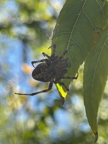
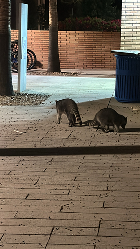
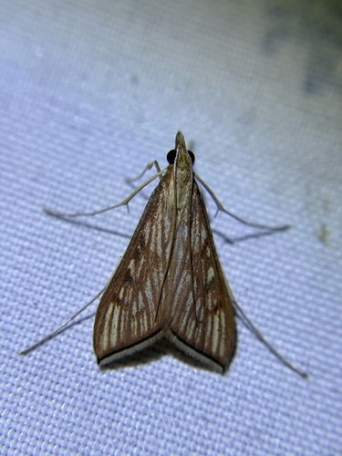
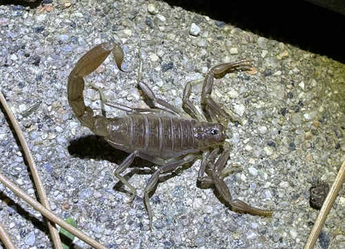
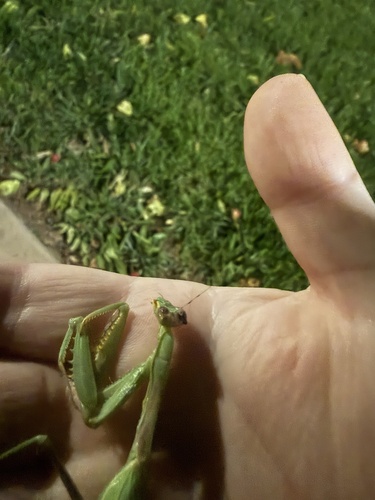
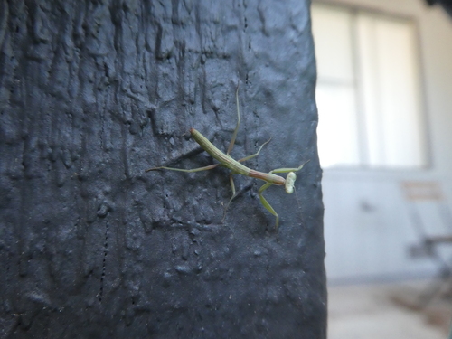
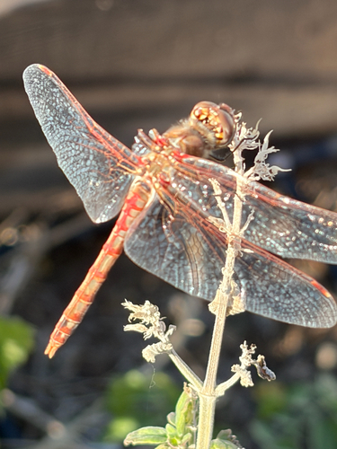
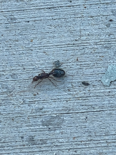
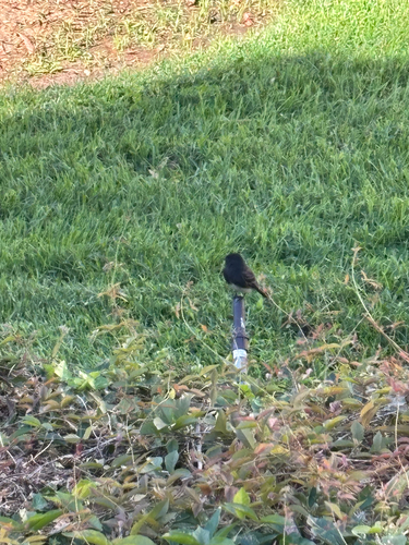
Research-grade observations from iNaturalist (within ~15 mi).
Nearest stream gauge
Live readings from USGS NWIS · measured 2026-10-16 12:00 UTC.
Events
Gallery
Sources
- • Wikipedia
- • US Census Bureau (ACS 5-year estimates)
- • NOAA National Weather Service
- • Wikidata
- • USGS Earthquake Catalog (global feed)
- • USGS NWIS (water data)
- • NCES via Urban Institute Education Data Portal
- • GBIF (Global Biodiversity Information Facility)
- • iNaturalist
- • CDC PLACES
- • Open-Meteo / sunrise-sunset.org
- • Wikipedia Pageviews API
- • Open Library
- • NASA EONET