Browse / United States / California / Orange
Orange
Californiacity

Orange
Total population
137,957
Median home value
$1,069,700
Bachelor's+
Median income
$111,059
Founded
1869
Demographic figures from US Census Bureau · ACS 5-year estimates. Overview below cites Wikipedia and may reference a different year.
- Wind Advisory · ModerateWind Advisory issued October 16 at 5:10AM PDT until October 17 at 12:00PM PDT by NWS San Diego CA
- Heat Advisory · ModerateHeat Advisory issued October 16 at 5:10AM PDT until October 17 at 8:00PM PDT by NWS San Diego CA
Source: NOAA National Weather Service.
City facts
Sister cities
Facts from Wikidata (CC0).
Overview
Orange is a city located in northern Orange County, California, United States. It is approximately 3 miles (4.8 km) north of the county seat, Santa Ana. Orange is unusual in this region because many of the homes in its Old Town District were built before 1920. While many other cities in the region demolished such houses in the 1960s, Orange decided to preserve them. The small city of Villa Park is surrounded by the city of Orange. The population of Orange was 139,911 as of 2020.
Read more on WikipediaHistory & geography
History
Members of the Tongva and Juaneño/Luiseño ethnic group long inhabited this area. After the 1769 expedition of Gaspar de Portolá, an expedition out of San Blas, Nayarit, Mexico, led by Father Junípero Serra, named the area Vallejo de Santa Ana (Valley of Saint Anne). On November 1, 1776, Mission San Juan Capistrano became the area's first permanent European settlement in Alta California, New Spain. In 1801, the Spanish Empire granted to José Antonio Yorba, which he named Rancho San Antonio. Yorba's great rancho included the lands where the cities of Olive, Orange, El Modena, Villa Park, Santa Ana, Tustin, Costa Mesa and Newport Beach stand today. Smaller ranchos evolved from this large rancho, including the Rancho Santiago de Santa Ana. Don Juan Pablo Grijalva, a retired known Spanish soldier and the area's first landowner, was granted permission in 1809 by the Spanish colonial government to establish a rancho in "the place of the Arroyo de Santiago". After the Mexican–American War, Alta California was ceded to the United States by Mexico with the signing of the Treaty of Guadalupe Hidalgo in 1848, and though many Californios lost titles to their lands in the aftermath, Grijalva's descendants retained ownership through marriages to Anglo-Americans. Since at least 1864, Los Angeles attorneys Alfred Chapman and Andrew Glassell, together and separately, held about along both sides of the Santiago Creek (Glassell also had a parcel where Costa Mesa is today). Water was the key factor for the location of their townsite (bordered by Almond Avenue on the south, Lemon Street on the west, Glassell Street on the east, and Maple Avenue on the north). Glassell needed a spot he could irrigate, bringing water down from the Santa Ana Canyon and the quality of the soil may have…
Geography
The city has a total area of , of which is land and of which is water. The total area is 0.58% water. * The highest recorded temperature was in June 2016. * On average, the coolest month is December. * The lowest recorded temperature was in December 1990. * The maximum average precipitation occurs in January. The period of April through November is warm and dry with average high temperatures of and lows of . The period of November through March is somewhat rainy, as shown in the table to the right.The Orange County area is also subject to the phenomena typical of a microclimate. As such, the temperatures can vary as much as between inland areas and the coast, with a temperature gradient of over 1 °F per mile (0.3 °C/km) from the coast inland. California also has a weather phenomenon called "June Gloom" or "May Gray," which sometimes brings overcast or foggy skies in the morning on the coast. Usually, it gives way to sunny skies by noon during late spring and early summer. The Orange County area averages of precipitation annually, which mainly occurs during the winter and spring (November through April) with generally light rain showers, but sometimes as heavy rainfall and thunderstorms. Coastal Torrance receives slightly less rainfall, while the mountains receive somewhat more. Snowfall is infrequent in the city basin, but the mountains in the surrounding areas receive snowfall every winter. Old Towne, Orange Historic District, a one square mile around the original plaza, contains many of the original structures built in the period after the city's incorporation. It is a vibrant commercial district containing Orange County's oldest operating bank and many dining and retail amenities. The Historic District was listed on the National Register of…
Excerpted from the corresponding Wikipedia article (CC BY-SA).
Demographics & economy
Race & ethnicity
Source: US Census Bureau — American Community Survey, 5-year estimates.
Geography
Coordinates & boundaries from the US Census TIGER/Line shapefiles.
Climate
Current forecast
Forecast for Orange, CA from NOAA NWS API.
Air quality
Industrial & pollution facilities
Natural hazard risk
Health (adults)
Age-adjusted prevalence estimates from CDC PLACES (latest release).
Walkability
Amenities nearby
Wildlife & biodiversity
Most-observed species
- House FinchHaemorhous mexicanus (P.L.Statius Müller, 1776) · Aves89,180
- American CrowCorvus brachyrhynchos C.L.Brehm, 1822 · Aves81,687
- Black PhoebeSayornis nigricans (Swainson, 1827) · Aves79,431
- MallardAnas platyrhynchos Linnaeus, 1758 · Aves65,669
- Allen's HummingbirdSelasphorus sasin (R.Lesson, 1829) · Aves63,364
- Mourning DoveZenaida macroura (Linnaeus, 1758) · Aves62,673
- Song SparrowMelospiza melodia (A.Wilson, 1810) · Aves61,477
- Lesser GoldfinchSpinus psaltria (Say, 1822) · Aves57,921
Citizen-science & research observations from the Global Biodiversity Information Facility (GBIF).
Schools
Largest nearby schools
- Fountain Valley HighHigh · Fountain Valley · 3,180 students · 26.3:1 ratio
- Santa Ana HighHigh · Santa Ana · 3,135 students · 23.2:1 ratio
- Cypress HighHigh · Cypress · 2,820 students · 24.5:1 ratio
- Arnold O. Beckman HighHigh · Irvine · 2,798 students · 26.6:1 ratio
- Anaheim HighHigh · Anaheim · 2,750 students · 21:1 ratio
- Westminster HighHigh · Westminster · 2,637 students · 24.2:1 ratio
- Katella HighHigh · Anaheim · 2,587 students · 23.5:1 ratio
- Troy HighHigh · Fullerton · 2,584 students · 23.7:1 ratio
Public K–12 schools within ~10 mi from Urban Institute Education Data Portal (NCES Common Core of Data, 2022).
Earthquake history
Most recent
- M 2.77 — 2026-10-153 km NNW of San Jacinto, CA
- M 2.71 — 2026-10-114 km E of San Jacinto, CA
- M 3.16 — 2026-10-092 km SW of Signal Hill, CA
- M 2.7 — 2026-10-082 km WNW of Fontana, CA
- M 2.51 — 2026-10-0531 km SW of Dana Point, CA
- M 2.81 — 2026-10-0532 km SW of Dana Point, CA
Events from the USGS Earthquake Catalog (global) (FDSN Event Web Service).
Photos
Sights & places nearby
Notable people from here


People born within ~10 km, from Wikidata (CC0). Click any name for their Wikipedia article.
Nearby places in California
- North Tustin4.2 mi away
- Cypress10.4 mi away · pop. 49,498
- Los Alamitos11.5 mi away · pop. 11,794
- East Whittier12 mi away
- Hawaiian Gardens12.5 mi away · pop. 13,691
- Rowland Heights12.8 mi away · pop. 45,911
- Cerritos13.2 mi away · pop. 47,867
- Artesia13.8 mi away
- Laguna Woods14.2 mi away · pop. 17,289
- Modjeska14.3 mi away · pop. 714
- La Puente17.8 mi away · pop. 37,142
- Avocado Heights19.1 mi away
Geography & sun
Elevation, sunrise/sunset and daylight from Open-Meteo. Solar climatology from NASA POWER.
Nearby airports
Public attention
Pageview totals from the Wikimedia Pageviews API.
Books about Orange

Search results from Open Library.
Recent natural events nearby
- Wildfire BOUQUET, Los Angeles, CaliforniaWildfires · 2026-10-03 · 62 mi
- Wildfire RIDGE, Los Angeles, CaliforniaWildfires · 2026-08-07 · 89 mi
- Wildfire BUZZARD, Kern, CaliforniaWildfires · 2026-08-05 · 98 mi
- Wildfire CYRUS, Kern, CaliforniaWildfires · 2026-10-09 · 136 mi
- Cyclone RachelSevere Storms · 2026-10-11 · 141 mi
- Wildfire PLAINS, San Luis Obispo, CaliforniaWildfires · 2026-08-12 · 166 mi
- Prescribed Fire CRAWFORD CORRAL RX, Tulare, CaliforniaWildfires · 2026-09-19 · 204 mi
- Wildfire Plaskett, Monterey, CaliforniaWildfires · 2026-08-26 · 249 mi
Wildfires, storms and other events from NASA EONET (last 12 months, within 250 mi).
Ground air-quality sensors
Recently spotted species
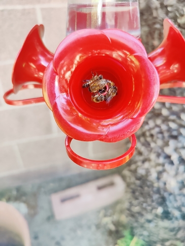
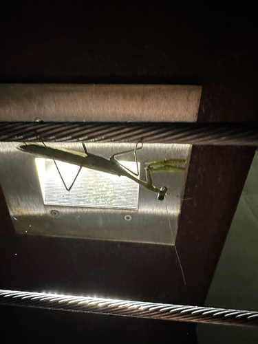
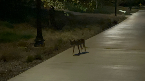
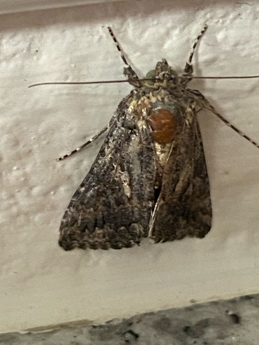
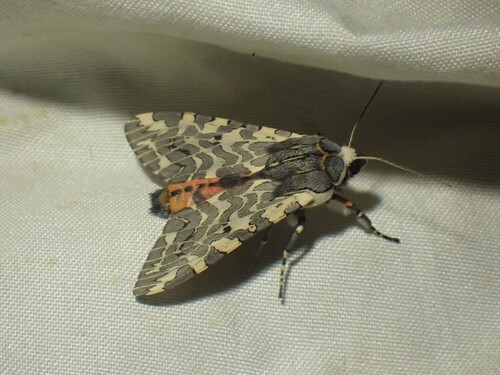
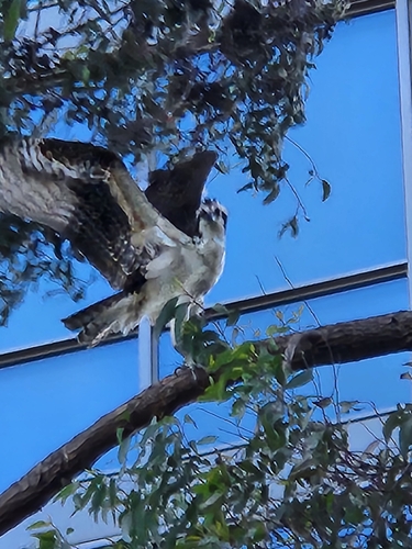
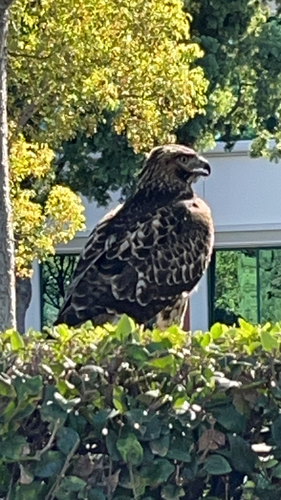
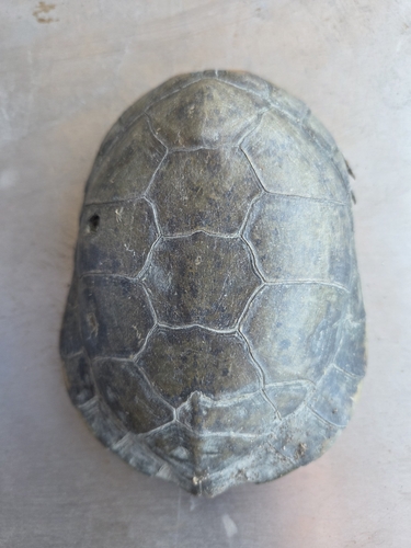
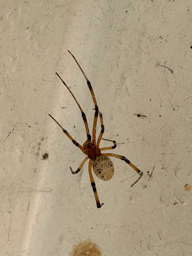
Research-grade observations from iNaturalist (within ~15 mi).
Nearest stream gauge
Live readings from USGS NWIS · measured 2026-10-16 11:45 UTC.
Events
Gallery
Sources
- • Wikipedia
- • US Census Bureau (ACS 5-year estimates)
- • NOAA National Weather Service
- • Wikidata
- • USGS Earthquake Catalog (global feed)
- • USGS NWIS (water data)
- • NCES via Urban Institute Education Data Portal
- • GBIF (Global Biodiversity Information Facility)
- • iNaturalist
- • CDC PLACES
- • Open-Meteo / sunrise-sunset.org
- • Wikipedia Pageviews API
- • Open Library
- • NASA EONET