Browse / United States / California / Pasadena
Pasadena
Californiacity

Pasadena
Total population
137,200
Median home value
$1,209,600
Bachelor's+
Median income
$105,048
Founded
1886
Demographic figures from US Census Bureau · ACS 5-year estimates. Overview below cites Wikipedia and may reference a different year.
- Red Flag Warning · SevereRed Flag Warning issued October 16 at 2:41PM PDT until October 17 at 8:00PM PDT by NWS Los Angeles/Oxnard CA
Source: NOAA National Weather Service.
City facts
Facts from Wikidata (CC0).
Overview
Pasadena is a city in Los Angeles County, California, United States, 10 miles (16 km) northeast of downtown Los Angeles. It is the primary cultural center of the San Gabriel Valley. Old Pasadena is the city's original commercial district.
Read more on WikipediaHistory & geography
History
Native Americans lived in the Los Angeles Basin for thousands of years. The earliest known inhabitants of present-day Pasadena and its surroundings were members of the Hahamog-na tribe, a branch of the Tongva Nation. They spoke the Tongva language, belonging to the Northern subfamily of the Uto-Aztecan language group. Pasadena means "valley" in the language of the Ojibwe, a Native American tribe not local to the region. The name was chosen by American settlers from Indiana who would later move to the area. The Spanish first colonized the Los Angeles Basin in the 1770s as part of the Viceroyalty of New Spain, building the San Gabriel Mission and renaming the local Tongva people "Gabrielinos" or "Gabrieleños", after the name of the mission. Today, several bands of Tongva people live in the Los Angeles area. In 1821, Mexico became independent of Spain, and California came under control of the Mexican government. In 1833, the mission lands were secularized and most of the lands in California were granted to private Mexican citizens in the form of ranchos. Present-day Pasadena was divided between Rancho San Rafael (lands west of the Arroyo Seco extending to present-day Burbank in the northwest to Glassell Park in the southwest), Rancho del Rincon de San Pascual, Rancho del Rincon de San Pascual was so named because it was deeded on Easter Sunday to Eulalia Perez de Guillén Mariné of Mission San Gabriel Arcángel. The last of the Mexican owners of Rancho del Rincon de San Pascual was Manuel Garfias, To keep the find a secret, Berry code-named the area "Muscat" after the grape that Wilson grew. To raise funds to bring the company of people to San Pascual, Berry formed the Southern California Orange and Citrus Growers Association and sold stock in it. The newcomers were…
Geography
The greater Pasadena area is bounded by the Raymond Fault line, the San Rafael Hills, and the San Gabriel Mountains. The Arroyo Seco, a major geographic feature and home of the Rose Bowl, flows from headwaters in Pasadena's towering Angeles National Forest greenbelt in the San Gabriel Mountains. Pasadena has a Mediterranean climate (Köppen Csa), with typically hotter summers and slightly cooler winters than nearby coastal areas. Its location relative to the San Gabriel mountains allows the orographic lift to add several more inches of rainfall per year than nearby areas. During the first few months of the year, Pasadena experiences cool to warm highs, typically in the upper 60s () to lower 70s (). Colder days are usually accompanied by heavier rain. By April, temperatures warm further, and rain tapers off significantly. By May and June, rain is typically sparse, but the marine layer becomes more persistent. Locals have dubbed June "June Gloom" as it is the cloudiest month despite being the 3rd driest month. By July, the marine layer subsides as inland areas cool due to an increased monsoon flow. Heatwaves from July through October can be oppressive and lengthy. In addition, it rarely rains during the summer and fall months, and only does when the remnants of hurricanes and tropical storms pass by. In fact, some days in both July and August have never recorded rainfall. It is not impossible to go 6 months without measurable precipitation. The average highest temperature recorded each year is around . The hottest heatwaves of the year usually occur in mid to late September. By late October, temperatures drop off. By November, Pacific storms return to Pasadena, bringing increasingly heavy rain and cooler weather. Along with them, however, are the Santa Ana winds. The…
Excerpted from the corresponding Wikipedia article (CC BY-SA).
Demographics & economy
Race & ethnicity
Source: US Census Bureau — American Community Survey, 5-year estimates.
Geography
Coordinates & boundaries from the US Census TIGER/Line shapefiles.
Climate
Current forecast
Forecast for Pasadena, CA from NOAA NWS API.
Air quality
Industrial & pollution facilities
Natural hazard risk
Health (adults)
Age-adjusted prevalence estimates from CDC PLACES (latest release).
Walkability
Amenities nearby
Wildlife & biodiversity
Most-observed species
- House FinchHaemorhous mexicanus (P.L.Statius Müller, 1776) · Aves64,442
- Mourning DoveZenaida macroura (Linnaeus, 1758) · Aves56,559
- California TowheeMelozone crissalis (Vigors, 1839) · Aves49,365
- Black PhoebeSayornis nigricans (Swainson, 1827) · Aves49,240
- Lesser GoldfinchSpinus psaltria (Say, 1822) · Aves47,309
- Common RavenCorvus corax Linnaeus, 1758 · Aves46,393
- Northern MockingbirdMimus polyglottos (Linnaeus, 1758) · Aves43,107
- Anna's HummingbirdCalypte anna (R.Lesson, 1829) · Aves42,262
Citizen-science & research observations from the Global Biodiversity Information Facility (GBIF).
Schools
Largest nearby schools
- Arcadia HighHigh · Arcadia · 3,022 students · 25:1 ratio
- Crescenta Valley HighHigh · La Crescenta · 2,488 students · 23.9:1 ratio
- James A. Garfield Senior HighHigh · Los Angeles · 2,247 students · 17.6:1 ratio
- Schurr HighHigh · Montebello · 2,224 students · 20.2:1 ratio
- Mark Keppel HighHigh · Alhambra · 2,205 students · 26.3:1 ratio
- Alhambra HighHigh · Alhambra · 2,160 students · 22.7:1 ratio
- Eagle Rock HighHigh · Los Angeles · 2,069 students · 19.9:1 ratio
- La Canada HighHigh · La Canada · 1,993 students · 24.3:1 ratio
Public K–12 schools within ~10 mi from Urban Institute Education Data Portal (NCES Common Core of Data, 2022).
Earthquake history
Most recent
- M 3.16 — 2026-10-092 km SW of Signal Hill, CA
- M 2.7 — 2026-10-082 km WNW of Fontana, CA
- M 3.81008714964485 — 2026-09-304 km SE of Piru, CA
- M 3.55404092525043 — 2026-09-277 km WSW of Hermosa Beach, CA
- M 2.53 — 2026-09-1811 km N of Fillmore, CA
- M 2.94 — 2026-09-174 km SSE of Compton, CA
Events from the USGS Earthquake Catalog (global) (FDSN Event Web Service).
Photos
Sights & places nearby
Notable people from here


People born within ~10 km, from Wikidata (CC0). Click any name for their Wikipedia article.
Nearby places in California
- San Marino3 mi away
- East Pasadena3.8 mi away
- La Crescenta-Montrose7.5 mi away
- North El Monte7.6 mi away
- East Los Angeles9.1 mi away
- Duarte10.7 mi away · pop. 22,184
- Commerce11.5 mi away · pop. 11,993
- Avocado Heights11.6 mi away
- La Puente13.8 mi away · pop. 37,142
- Florence-Graham14.6 mi away · pop. 60,690
- East Whittier18.4 mi away
- San Fernando19.2 mi away · pop. 23,632
Geography & sun
Elevation, sunrise/sunset and daylight from Open-Meteo. Solar climatology from NASA POWER.
Nearby airports
Public attention
Pageview totals from the Wikimedia Pageviews API.
Books about Pasadena

Search results from Open Library.
Recent natural events nearby
- Wildfire BOUQUET, Los Angeles, CaliforniaWildfires · 2026-10-03 · 32 mi
- Wildfire RIDGE, Los Angeles, CaliforniaWildfires · 2026-08-07 · 59 mi
- Wildfire BUZZARD, Kern, CaliforniaWildfires · 2026-08-05 · 68 mi
- Wildfire CYRUS, Kern, CaliforniaWildfires · 2026-10-09 · 107 mi
- Wildfire PLAINS, San Luis Obispo, CaliforniaWildfires · 2026-08-12 · 137 mi
- Cyclone RachelSevere Storms · 2026-10-11 · 158 mi
- Prescribed Fire CRAWFORD CORRAL RX, Tulare, CaliforniaWildfires · 2026-09-19 · 175 mi
- Wildfire Plaskett, Monterey, CaliforniaWildfires · 2026-08-26 · 221 mi
Wildfires, storms and other events from NASA EONET (last 12 months, within 250 mi).
Ground air-quality sensors
Recently spotted species
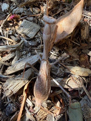
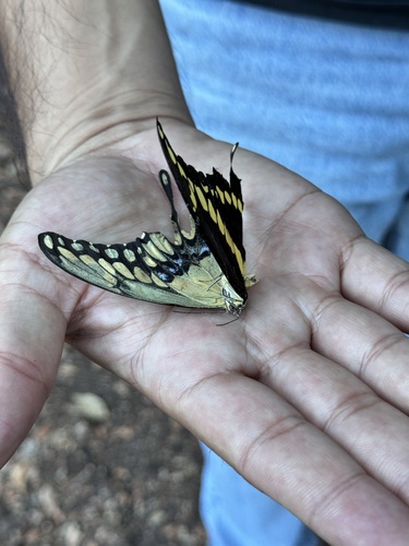
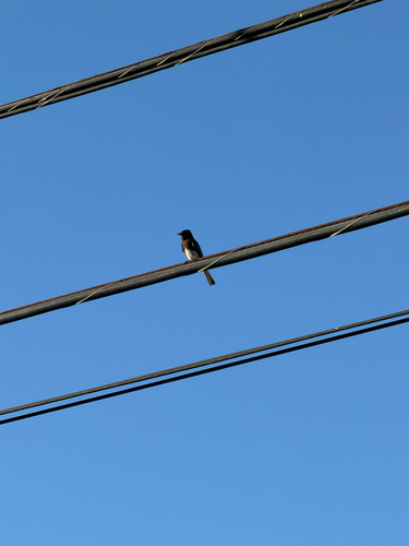
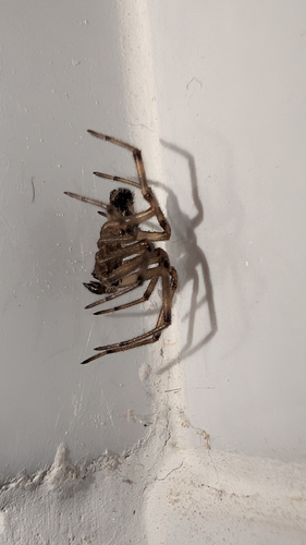
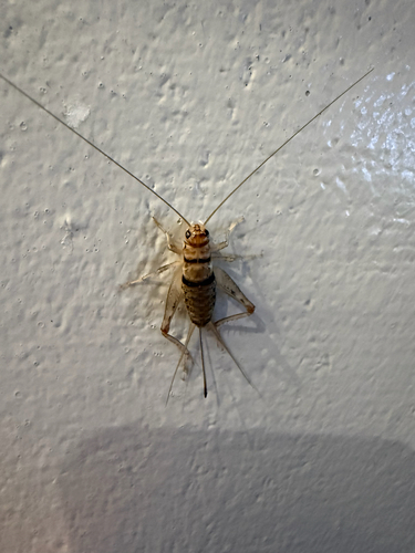
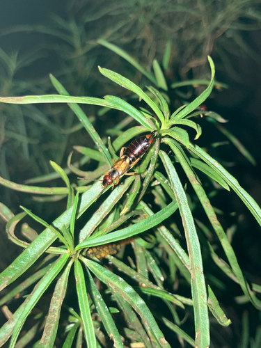
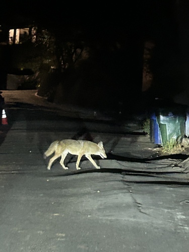
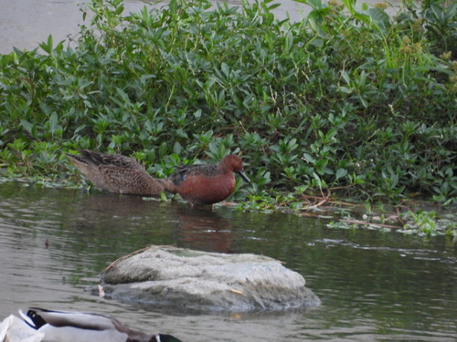
Research-grade observations from iNaturalist (within ~15 mi).
Nearest stream gauge
Live readings from USGS NWIS · measured 2026-10-16 14:15 UTC.
Events
Notable, recurring, and historical events associated with Pasadena, sourced from Wikidata.
- Feb 11, 2017
- Jul 1, 2010
- Oct 11, 1991
- 136th National Puzzlers' League conventionSep 1, 1958recurring event edition
- National Air Pollution SymposiumNov 10, 1949planned event
Source: Wikidata (CC0).
Gallery
Sources
- • Wikipedia
- • US Census Bureau (ACS 5-year estimates)
- • NOAA National Weather Service
- • Wikidata
- • USGS Earthquake Catalog (global feed)
- • USGS NWIS (water data)
- • NCES via Urban Institute Education Data Portal
- • GBIF (Global Biodiversity Information Facility)
- • iNaturalist
- • CDC PLACES
- • Open-Elevation
- • Open-Meteo / sunrise-sunset.org
- • Wikipedia Pageviews API
- • Open Library
- • NASA EONET