Browse / United States / California / San Bernardino
San Bernardino
Californiacity

San Bernardino
Total population
224,785
Median home value
$461,400
Bachelor's+
Median income
$67,753
Founded
1854
Air quality index
Demographic figures from US Census Bureau · ACS 5-year estimates. Overview below cites Wikipedia and may reference a different year.
- High Wind Warning · SevereHigh Wind Warning issued October 16 at 5:10AM PDT until October 17 at 8:00PM PDT by NWS San Diego CA
Source: NOAA National Weather Service.
City facts
Facts from Wikidata (CC0).
Overview
San Bernardino is a city in and the county seat of San Bernardino County, California, United States. Located in the Inland Empire region of Southern California, the city had a population of 222,101 in the 2020 census, making it the 18th–most populous city in California. The Riverside–San Bernardino metropolitan area at 4.74 million residents is the 12th-largest metropolitan area in the nation. San Bernardino is the economic, cultural, and political hub of the San Bernardino Valley, sharing that distinction for the wider Inland Empire with its twin city of Riverside.
Read more on WikipediaHistory & geography
History
The city of San Bernardino, California, occupies much of the San Bernardino Valley, a valley long inhabited by the Tongva. Several of their villages dotted the San Bernardino valley prior to the arrival of Europeans in the valley. Kaawchama was perhaps the most significant in the region, being a regional center for trade that was connected to villages in Southern California and the Colorado River through the Mohave Trail, that was used by the Mohave, Serrano, Cahuilla, Payomkawichum, and others. The village was located in the eastern expanse of Tovaangar, and was established along the Santa Ana River. With the establishment of Mission San Gabriel in 1771, Spanish missionaries traveling through the area expressed a desire to establish a supply station in the area, which became the Guachama Rancheria. The area was not largely settled until 1851, following the American Conquest of California. The first Anglo-American colony was established by pioneers associated with the Church of Jesus Christ of Latter-day Saints in 1851. San Bernardino County was formed in 1853 from parts of Los Angeles County. Mormons laid out the town based on the "City of Zion" plan which was typical of Mormon urban planning. Mormon colonists developed irrigated, commercial farming and lumbering, supplying agricultural produce and lumber throughout Southern California. The city was officially incorporated in 1857. Later that year, most of the colonists were recalled by Brigham Young in 1857 due to the Utah War. Some Mormons would stay in San Bernardino and some later returned from Utah, but a real estate consortium from El Monte and Los Angeles bought most of the lands of the old rancho and of the departing colonists. They sold these lands to new settlers who came to dominate the culture and…
Geography
According to the United States Census Bureau, the city has a total area of , of which is land and , or 0.53%, is water. Its name comes from the Indigenous Serrano meaning "place of little pines" due to its location near the Cajon mountain pass' pine trees. Muscupiabe borders three California freeways, California State Route 210, California State Route 259 and I-215, hence the neighborhood's nickname, the Triangle. Muscupiabe is primarily home to single family homes with large lots, mature leafy willows, and tall pines. In the winter, snow flurries occur upon occasion. San Bernardino gets an average of of rain, hail, or light snow showers each year. Arrowhead Springs, San Bernardino's northernmost neighborhood gets snow, heavily at times, due to its elevation of about above sea level. The seasonal Santa Ana winds are felt particularly strongly in the San Bernardino area as warm and dry air is channeled through nearby Cajon Pass at times during the autumn months. In extreme cases, the winds approach speeds of , downing power lines and causing property damage. The winds, along with the cycle of cold wet winters and hot dry summers, markedly increase the danger of wildfire in the foothill, canyon and mountain communities.
Excerpted from the corresponding Wikipedia article (CC BY-SA).
Demographics & economy
Race & ethnicity
Source: US Census Bureau — American Community Survey, 5-year estimates.
Geography
Coordinates & boundaries from the US Census TIGER/Line shapefiles.
Climate
Current forecast
Forecast for San Bernardino, CA from NOAA NWS API.
Air quality
Current readings from Open-Meteo Air Quality API (Copernicus CAMS European reanalysis).
Industrial & pollution facilities
Natural hazard risk
Health (adults)
Age-adjusted prevalence estimates from CDC PLACES (latest release).
Walkability
Amenities nearby
Wildlife & biodiversity
Most-observed species
- House FinchHaemorhous mexicanus (P.L.Statius Müller, 1776) · Aves14,614
- Common RavenCorvus corax Linnaeus, 1758 · Aves10,930
- Lesser GoldfinchSpinus psaltria (Say, 1822) · Aves10,816
- California TowheeMelozone crissalis (Vigors, 1839) · Aves9,635
- Anna's HummingbirdCalypte anna (R.Lesson, 1829) · Aves8,924
- Black PhoebeSayornis nigricans (Swainson, 1827) · Aves8,876
- Acorn WoodpeckerMelanerpes formicivorus (Swainson, 1827) · Aves8,565
- Mourning DoveZenaida macroura (Linnaeus, 1758) · Aves8,445
Citizen-science & research observations from the Global Biodiversity Information Facility (GBIF).
Schools
Largest nearby schools
- Rialto HighHigh · Rialto · 2,886 students · 24.5:1 ratio
- Arroyo Valley HighHigh · San Bernardino · 2,785 students · 24.2:1 ratio
- Cajon HighHigh · San Bernardino · 2,750 students · 24.8:1 ratio
- Summit HighHigh · Fontana · 2,539 students · 22.1:1 ratio
- Fontana HighHigh · Fontana · 2,459 students · 19.7:1 ratio
- Redlands Senior HighHigh · Redlands · 2,232 students · 21.7:1 ratio
- Wilmer Amina Carter HighHigh · Rialto · 2,212 students · 23.8:1 ratio
- Eisenhower HighHigh · Rialto · 2,207 students · 22.1:1 ratio
Public K–12 schools within ~10 mi from Urban Institute Education Data Portal (NCES Common Core of Data, 2022).
Earthquake history
Most recent
- M 2.77 — 2026-10-153 km NNW of San Jacinto, CA
- M 2.71 — 2026-10-114 km E of San Jacinto, CA
- M 3.16 — 2026-10-092 km SW of Signal Hill, CA
- M 2.7 — 2026-10-082 km WNW of Fontana, CA
- M 2.6 — 2026-10-064 km NNW of Big Bear City, CA
- M 2.63 — 2026-09-239 km WNW of Anza, CA
Events from the USGS Earthquake Catalog (global) (FDSN Event Web Service).
Photos
Sights & places nearby
Notable people from here


People born within ~10 km, from Wikidata (CC0). Click any name for their Wikipedia article.
Nearby places in California
- Muscoy3.2 mi away
- Loma Linda7.3 mi away · pop. 25,122
- Grand Terrace7.7 mi away · pop. 13,078
- Crestline7.8 mi away
- Bloomington8.3 mi away · pop. 25,698
- Mentone11.7 mi away · pop. 9,514
- Oak Hills18.3 mi away
- San Antonio Heights20.8 mi away
- Big Bear Lake24 mi away · pop. 5,041
- Mountain View Acres24.8 mi away
- Banning26.4 mi away · pop. 31,093
- Apple Valley27.5 mi away · pop. 75,039
Geography & sun
Elevation, sunrise/sunset and daylight from Open-Meteo. Solar climatology from NASA POWER.
Nearby airports
Public attention
Pageview totals from the Wikimedia Pageviews API.
Books about San Bernardino
Search results from Open Library.
Recent natural events nearby
- Wildfire BOUQUET, Los Angeles, CaliforniaWildfires · 2026-10-03 · 70 mi
- Wildfire RIDGE, Los Angeles, CaliforniaWildfires · 2026-08-07 · 98 mi
- Wildfire BUZZARD, Kern, CaliforniaWildfires · 2026-08-05 · 106 mi
- Cyclone RachelSevere Storms · 2026-10-11 · 110 mi
- Wildfire CYRUS, Kern, CaliforniaWildfires · 2026-10-09 · 125 mi
- Wildfire PLAINS, San Luis Obispo, CaliforniaWildfires · 2026-08-12 · 177 mi
- Prescribed Fire CRAWFORD CORRAL RX, Tulare, CaliforniaWildfires · 2026-09-19 · 195 mi
- Wildfire Campwood, Yavapai, ArizonaWildfires · 2026-08-23 · 241 mi
Wildfires, storms and other events from NASA EONET (last 12 months, within 250 mi).
Ground air-quality sensors
Recently spotted species
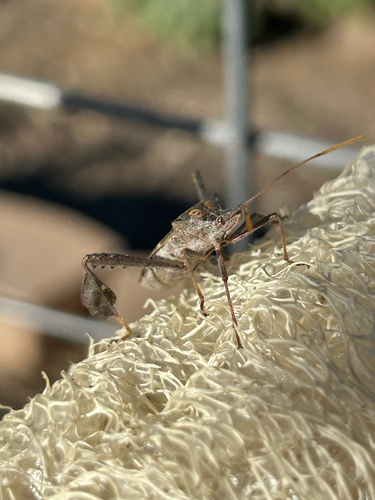
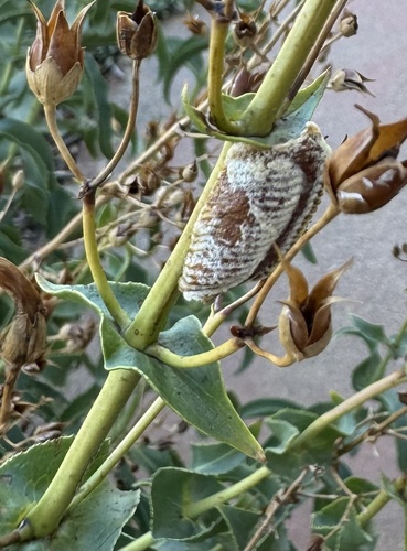
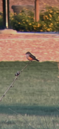
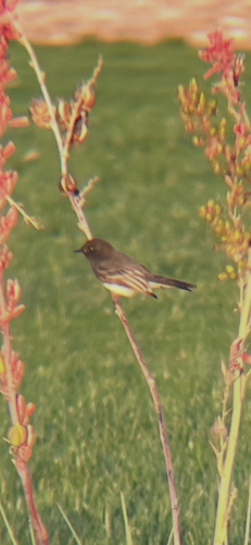
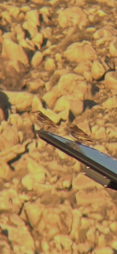
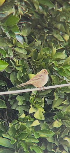
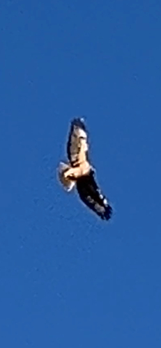
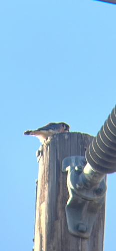
Research-grade observations from iNaturalist (within ~15 mi).
Nearest stream gauge
Events
Gallery
Sources
- • Wikipedia
- • US Census Bureau (ACS 5-year estimates)
- • NOAA National Weather Service
- • Wikidata
- • Open-Meteo Air Quality (CAMS)
- • USGS Earthquake Catalog (global feed)
- • NCES via Urban Institute Education Data Portal
- • GBIF (Global Biodiversity Information Facility)
- • iNaturalist
- • CDC PLACES
- • Open-Meteo / sunrise-sunset.org
- • Wikipedia Pageviews API
- • Open Library
- • NASA EONET