Browse / United States / California / South Gate
South Gate
Californiacity
Total population
90,809
Median home value
$675,300
Bachelor's+
Median income
$76,200
Founded
1923
Air quality index
Demographic figures from US Census Bureau · ACS 5-year estimates. Overview below cites Wikipedia and may reference a different year.
- Heat Advisory · ModerateHeat Advisory issued October 16 at 11:03AM PDT until October 17 at 8:00PM PDT by NWS Los Angeles/Oxnard CA
Source: NOAA National Weather Service.
City facts
Facts from Wikidata (CC0).
Overview
South Gate is a city in Los Angeles County, California, United States, with 7.4 square miles (19 km2). It is located 7 miles (11 km) southeast of Downtown Los Angeles. South Gate is part of the Gateway Cities region of southeastern Los Angeles County.
Read more on WikipediaHistory & geography
History
Before the Spanish Colonial Era, the area that became South Gate was in the traditional cultural territory of the Gabrielino. Gabrielino villages or archaeological sites are rumored to have existed at the South Gate Park and at the old City Hall site at the intersection of Post Street and Victoria Avenue. The village of Tajauta was located on the border of South Gate, Lynwood, and Watts. Among the early Spanish settlers was one of California's first families, the Lugos. The Lugo land grant encompassed a great part of what is now the City of South Gate. While Francisco Lugo was stationed at Mission San Antonio de Padua near Salinas, California, his first California son, Antonio Maria Lugo was born in 1775. That son became Don Antonio Maria Lugo, Spanish aristocrat and soldier, who settled on of land that encompasses what is now the City of South Gate. In 1810, the King of Spain formally granted the land to Lugo as a reward for his and his father's military service. Before the end of the 1870s, much of the original land grant had been replaced by tracts of . By 1880, cattle raising had been replaced by agriculture as the most important local industry. During the years between 1910 and 1940, most of the agricultural land was replaced by homes and factories. By 1940, South Gate had evolved into a major industrial hub, with over 35 factories producing chemicals, machinery, furniture, roofing materials, and more. This industrial boom continued into the mid-20th century, and by 1976, over 400 industries were operating in the city. The Firestone Tire and Rubber Company opened a plant in December 1927 on what was then a bean field at Alameda and Firestone. The facility began operations in mid-1928 and expanded multiple times in subsequent decades, providing significant…
Geography
According to the United States Census Bureau, the city has a total area of . of it is land and of it is water. The total area is 1.59% water. The Los Angeles River runs through the eastern part of South Gate. South Gate has a semi-arid Mediterranean climate with mild winters and hot, dry summers. The average annual precipitation is per year with most occurring between November and April. Temperatures range from a low of to a high of . The average daily temperatures range from to .
Excerpted from the corresponding Wikipedia article (CC BY-SA).
Demographics & economy
Race & ethnicity
Source: US Census Bureau — American Community Survey, 5-year estimates.
Geography
Coordinates & boundaries from the US Census TIGER/Line shapefiles.
Climate
Current forecast
Forecast for South Gate, CA from NOAA NWS API.
Air quality
Current readings from Open-Meteo Air Quality API (Copernicus CAMS European reanalysis).
Industrial & pollution facilities
Natural hazard risk
Health (adults)
Age-adjusted prevalence estimates from CDC PLACES (latest release).
Walkability
Amenities nearby
Wildlife & biodiversity
Most-observed species
- House FinchHaemorhous mexicanus (P.L.Statius Müller, 1776) · Aves45,895
- Black PhoebeSayornis nigricans (Swainson, 1827) · Aves43,579
- Mourning DoveZenaida macroura (Linnaeus, 1758) · Aves35,203
- Allen's HummingbirdSelasphorus sasin (R.Lesson, 1829) · Aves34,933
- American CrowCorvus brachyrhynchos C.L.Brehm, 1822 · Aves34,831
- House SparrowPasser domesticus (Linnaeus, 1758) · Aves28,833
- Yellow-rumped WarblerSetophaga coronata (Linnaeus, 1766) · Aves28,670
- Lesser GoldfinchSpinus psaltria (Say, 1822) · Aves28,578
Citizen-science & research observations from the Global Biodiversity Information Facility (GBIF).
Schools
Largest nearby schools
- Downey HighHigh · Downey · 4,063 students · 23.4:1 ratio
- Paramount HighHigh · Paramount · 3,737 students · 20.5:1 ratio
- Warren (Earl) HighHigh · Downey · 3,437 students · 23.7:1 ratio
- Lakewood HighHigh · Lakewood · 2,761 students · 22.3:1 ratio
- Mayfair HighHigh · Lakewood · 2,578 students · 22.6:1 ratio
- California HighHigh · Whittier · 2,504 students · 23.2:1 ratio
- Bell Senior HighHigh · Bell · 2,351 students · 22:1 ratio
- James A. Garfield Senior HighHigh · Los Angeles · 2,247 students · 17.6:1 ratio
Public K–12 schools within ~10 mi from Urban Institute Education Data Portal (NCES Common Core of Data, 2022).
Earthquake history
Most recent
- M 3.16 — 2026-10-092 km SW of Signal Hill, CA
- M 2.7 — 2026-10-082 km WNW of Fontana, CA
- M 2.51 — 2026-10-0531 km SW of Dana Point, CA
- M 2.81 — 2026-10-0532 km SW of Dana Point, CA
- M 3.48 — 2026-10-0531 km SW of Dana Point, CA
- M 3.81008714964485 — 2026-09-304 km SE of Piru, CA
Events from the USGS Earthquake Catalog (global) (FDSN Event Web Service).
Photos
Sights & places nearby
Notable people from here


People born within ~10 km, from Wikidata (CC0). Click any name for their Wikipedia article.
Nearby places in California
- Florence-Graham3.4 mi away · pop. 60,690
- Commerce4.3 mi away · pop. 11,993
- East Los Angeles6.2 mi away
- Artesia8.3 mi away
- Cerritos8.8 mi away · pop. 47,867
- Alondra Park9 mi away
- Del Aire10.3 mi away
- Hawaiian Gardens10.4 mi away · pop. 13,691
- East Whittier11.8 mi away
- Cypress12.4 mi away · pop. 49,498
- Los Alamitos12.7 mi away · pop. 11,794
- Avocado Heights12.9 mi away
Geography & sun
Elevation, sunrise/sunset and daylight from Open-Meteo. Solar climatology from NASA POWER.
Nearby airports
Public attention
Pageview totals from the Wikimedia Pageviews API.
Books about South Gate



Search results from Open Library.
Recent natural events nearby
- Wildfire BOUQUET, Los Angeles, CaliforniaWildfires · 2026-10-03 · 44 mi
- Wildfire RIDGE, Los Angeles, CaliforniaWildfires · 2026-08-07 · 69 mi
- Wildfire BUZZARD, Kern, CaliforniaWildfires · 2026-08-05 · 78 mi
- Wildfire CYRUS, Kern, CaliforniaWildfires · 2026-10-09 · 122 mi
- Wildfire PLAINS, San Luis Obispo, CaliforniaWildfires · 2026-08-12 · 145 mi
- Cyclone RachelSevere Storms · 2026-10-11 · 160 mi
- Prescribed Fire CRAWFORD CORRAL RX, Tulare, CaliforniaWildfires · 2026-09-19 · 189 mi
- Wildfire Plaskett, Monterey, CaliforniaWildfires · 2026-08-26 · 227 mi
Wildfires, storms and other events from NASA EONET (last 12 months, within 250 mi).
Ground air-quality sensors
Recently spotted species
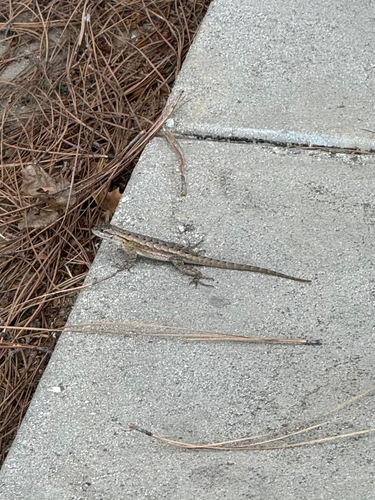
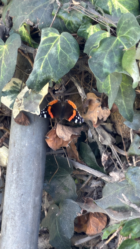
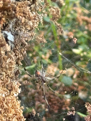
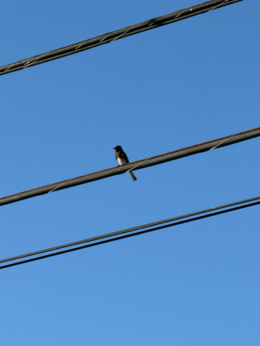
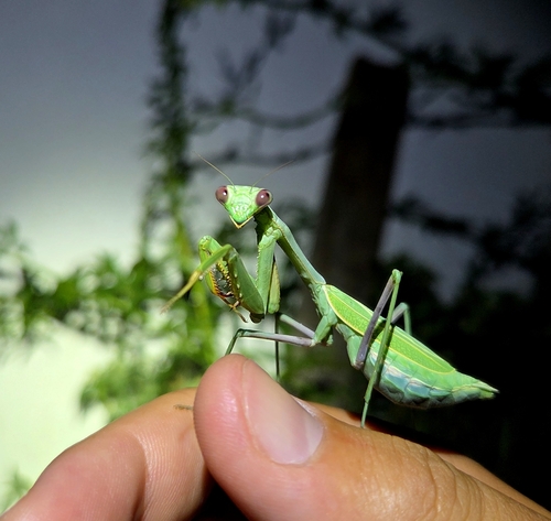
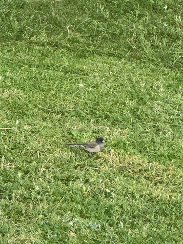
Research-grade observations from iNaturalist (within ~15 mi).
Nearest stream gauge
Live readings from USGS NWIS · measured 2026-10-16 15:30 UTC.
Events
Gallery
Sources
- • Wikipedia
- • US Census Bureau (ACS 5-year estimates)
- • NOAA National Weather Service
- • Wikidata
- • Open-Meteo Air Quality (CAMS)
- • USGS Earthquake Catalog (global feed)
- • USGS NWIS (water data)
- • NCES via Urban Institute Education Data Portal
- • GBIF (Global Biodiversity Information Facility)
- • iNaturalist
- • CDC PLACES
- • Open-Meteo / sunrise-sunset.org
- • Wikipedia Pageviews API
- • Open Library
- • NASA EONET