Browse / Switzerland / Bern / Châtelat
Châtelat
Bernvillage

Châtelat
Total population
105
Demographic figures from Swiss Federal Statistical Office. Overview below cites Wikipedia and may reference a different year.
City facts
Facts from Wikidata (CC0).
Overview
Châtelat was a municipality in the Jura bernois administrative district in the canton of Bern in Switzerland. It is located in the French-speaking Bernese Jura, however a majority of the residents in Châtelat are German speaking. On 1 January 2015 the former municipalities of Châtelat, Monible, Sornetan and Souboz merged to form the new municipality of Petit-Val.
Read more on WikipediaHistory & geography
History
Châtelat is first mentioned in 1335 as Schestellat. For most of the village's history, it belonged to the court and parish of Sornetan under the provost of Moutier-Grandval Abbey. Châtelat remained part of the parish after they both converted to the new faith during the Protestant Reformation in 1531. In the following years, a colony of Mennonites was established in the village of Moron on the slopes of the Moron mountain. Moron was located at the far end of the valley, at an elevation of and like many Mennonite settlements was in a poorly accessible location. After the 1797 French victory and the Treaty of Campo Formio, Châtelat became part of the French Département of Mont-Terrible. Three years later, in 1800 it became part of the Département of Haut-Rhin. After Napoleon's defeat and the Congress of Vienna, Châtelat was assigned to the Canton of Bern in 1815. During the period of French control, the village of Fornet-Dessous was an independent municipality. At some point after Bern assumed control, it was integrated into the Châtelat municipality. In 1829 the village of Fornet-Dessous was completely destroyed in a fire. Today, the village remains fairly rural and agrarian. About two-thirds of the workers work in the municipality and about two-thirds of the jobs in the municipality are in agriculture.
Geography
Before the merger, Châtelat had a total area of . During the same year, housing and buildings made up 1.7% and transportation infrastructure made up 1.0%. Out of the forested land, 32.3% of the total land area is heavily forested and 9.9% is covered with orchards or small clusters of trees. Of the agricultural land, 2.2% is used for growing crops and 31.8% is pastures and 20.2% is used for alpine pastures. All the water in the municipality is flowing water.
Excerpted from the corresponding Wikipedia article (CC BY-SA).
Geography
Coordinates & boundaries from the US Census TIGER/Line shapefiles.
Climate
10-year averages from ERA5 reanalysis (Open-Meteo).
Air quality
Walkability
Amenities nearby
Wildlife & biodiversity
Earthquake history
Photos
Sights & places nearby
Notable people from here


People born within ~10 km, from Wikidata (CC0). Click any name for their Wikipedia article.
Nearby places in Bern
- Moron0.8 mi away
- Rebévelier1.3 mi away · pop. 45
- Le Fuet2.1 mi away · pop. 269
- Souboz2.3 mi away · pop. 131
- Pontenet3.5 mi away · pop. 222
- Bévilard4.9 mi away · pop. 1,741
- Tramelan5.4 mi away · pop. 4,419
- La Heutte5.8 mi away · pop. 485
- Les Reussilles6.2 mi away
- Cortébert7 mi away · pop. 710
- Mont-Tramelan8.1 mi away · pop. 114
- Evilard8.7 mi away · pop. 2,465
Geography & sun
Elevation, sunrise/sunset and daylight from Open-Meteo. Solar climatology from NASA POWER.
Nearby airports
Public attention
Pageview totals from the Wikimedia Pageviews API.
Books about this place
Recent natural events nearby
Ground air-quality sensors
Recently spotted species
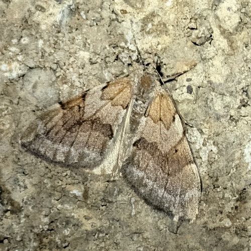
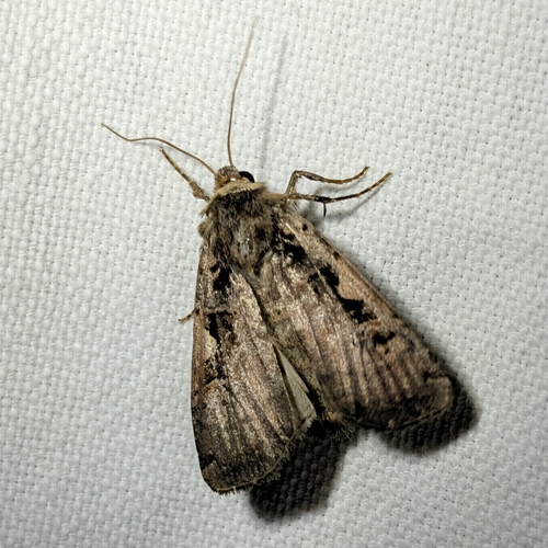
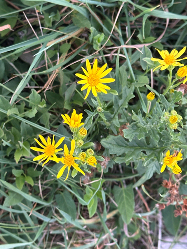
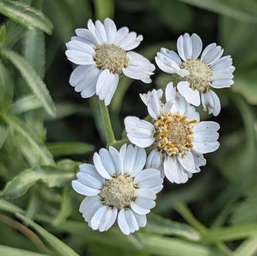
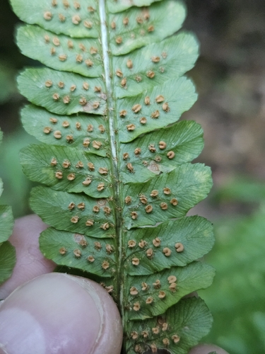
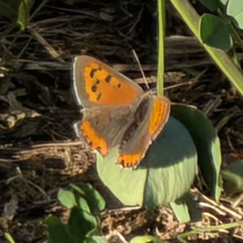
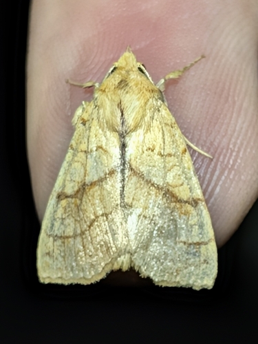
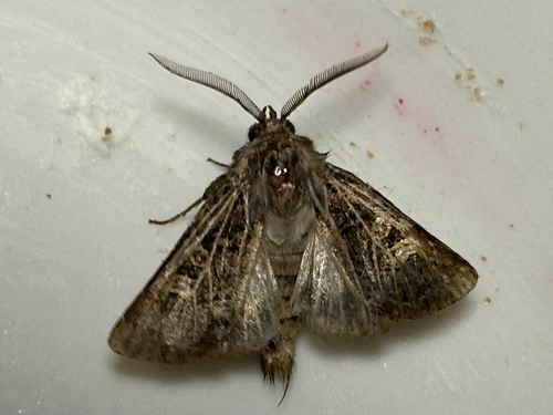
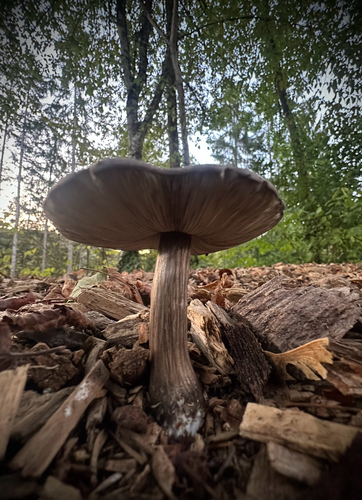
Research-grade observations from iNaturalist (within ~15 mi).
Events
Gallery
Official Identifiers
BFS — Swiss Federal Statistical Office
- BFS-Nr
- 684
- Wikidata
- Q68612
Gemeindenummer via Wikidata P771
Sources
- • Wikipedia
- • Open-Meteo (ERA5 reanalysis)
- • Wikidata
- • iNaturalist
- • Open-Elevation
- • Open-Meteo / sunrise-sunset.org
- • Wikipedia Pageviews API
- • BFS — Swiss Federal Statistical Office — Gemeindenummer via Wikidata P771