Browse / Ireland / Meath / Curragha
Curragha
Meathvillage

Featured view
Curragha
Coordinates53.54°, -6.44°
Demographic figures from Central Statistics Office (Ireland). Overview below cites Wikipedia and may reference a different year.
Loading additional data from public sources…0 / 11
CensusWikipediaWeatherPlacesPeopleEnvironmentHealth & SchoolsRelatedGeography & CultureLive MonitoringEvents & Gallery
0% completeCity facts
Overview
Curraha, also written Curragha, is a small village in County Meath, Ireland. It is located 4.5 km (2.8 mi) from Ashbourne and 4 km (2.5 mi) from Ratoath, on the R155 road between Ratoath and its junction with the N2. The built-up area is mainly within Crickstown townland.
Read more on WikipediaHistory & geography
Geography
Latitude
53.5405
Longitude
-6.4419
Water area
—
Coordinates & boundaries from the US Census TIGER/Line shapefiles.
Climate
Air quality
Walkability
Amenities nearby
Wildlife & biodiversity
Earthquake history
Photos
Sights & places nearby
Notable people from here
Nearby places in Meath
Geography & sun
Avg solar (kWh/m²/day)
2.74
Annual solar (kWh/m²)
1,001
Elevation, sunrise/sunset and daylight from Open-Meteo. Solar climatology from NASA POWER.
Nearby airports
Public attention
Wikipedia views (last 30 days)
131
Avg daily Wikipedia views
4
Attention level
Obscure
Pageview totals from the Wikimedia Pageviews API.
Books about this place
Recent natural events nearby
Ground air-quality sensors
Recently spotted species
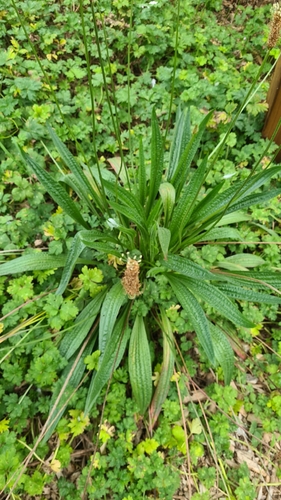
ribwort plantain
Plantago lanceolata
Seen 2026-09-22
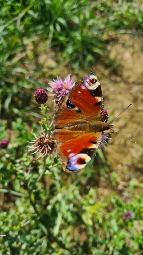
European Peacock Butterfly
Aglais io
Seen 2026-09-21
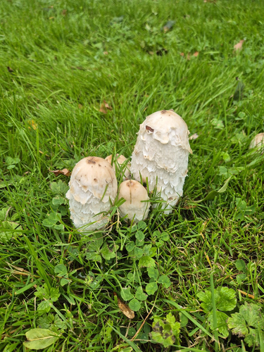
Shaggy Mane
Coprinus comatus
Seen 2026-09-20
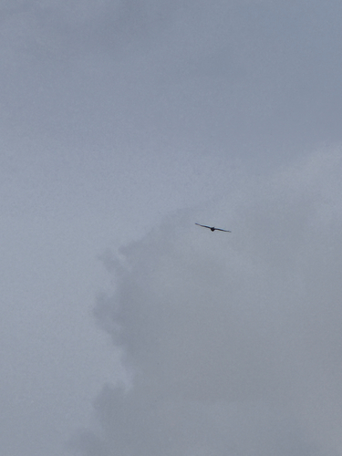
Red Kite
Milvus milvus
Seen 2026-09-16
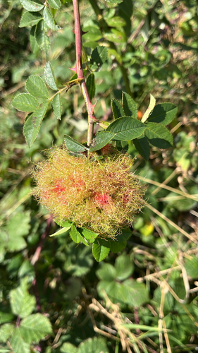
Mossy Rose Gall Wasp
Diplolepis rosae
Seen 2026-09-15
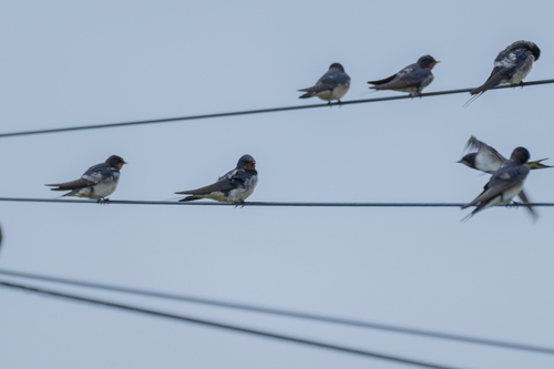
Barn Swallow
Hirundo rustica
Seen 2026-09-14
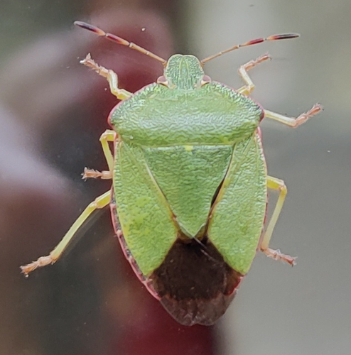
Green Shield Bug
Palomena prasina
Seen 2026-09-13
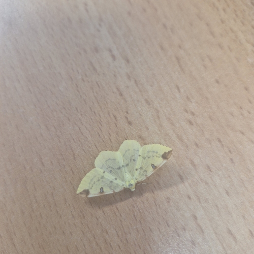
Brimstone Moth
Opisthograptis luteolata
Seen 2026-09-13
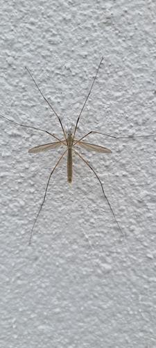
European Crane Fly
Tipula paludosa
Seen 2026-09-13
Research-grade observations from iNaturalist (within ~15 mi).
Events
Gallery
Sources
- • Wikipedia
- • iNaturalist
- • Open-Meteo / sunrise-sunset.org
- • Wikipedia Pageviews API