Browse / United States / Massachusetts / Lexington
Lexington
MassachusettsCDP
Total population
34,295
Median home value
$1,203,100
Bachelor's+
Median income
$238,444
Air quality index
Demographic figures from US Census Bureau · ACS 5-year estimates. Overview below cites Wikipedia and may reference a different year.
- Wind Advisory · ModerateWind Advisory issued September 25 at 12:30PM EDT until September 27 at 8:00AM EDT by NWS Boston/Norton MA
Source: NOAA National Weather Service.
City facts
Overview
Lexington sits in Massachusetts, United States and is identified as a census-designated community. Lexington maps to 42.445°, -71.230° — squarely within the temperate belt. Public datasets list a population of roughly 34,295. Open historical records trace its establishment to roughly 1640. The location receives about 1,392 kWh/m² of solar irradiance per year and sunshine for roughly 54% of daylight hours. Climatically, locations at this latitude tend to experience four distinct seasons with warm summers and cold winters. Time-zone records list it under Q941023. Climate records indicate average highs near 60.4°F and lows near 43.4°F and about 47.7 in of annual precipitation (a wet total). Population density therefore averages about 2,078 per km², a high population density. The census-designated community sits at a modest elevation of 64 m and covers roughly 16.5 km² of territory. The remainder of this page draws on open public data to describe the area's demographics, climate, environment and nearby amenities.
Summary composed automatically from structured open data on this page. See our Terms for details.
History & geography
Demographics & economy
Race & ethnicity
Source: US Census Bureau — American Community Survey, 5-year estimates.
Geography
Coordinates & boundaries from the US Census TIGER/Line shapefiles.
Climate
10-year averages from ERA5 reanalysis (Open-Meteo).
Current forecast
Forecast for Lexington, MA from NOAA NWS API.
Air quality
Current readings from Open-Meteo Air Quality API (Copernicus CAMS European reanalysis).
Industrial & pollution facilities
Natural hazard risk
Health (adults)
Age-adjusted prevalence estimates from CDC PLACES (latest release).
Walkability
Amenities nearby
Wildlife & biodiversity
Most-observed species
- Turdus migratorius Linnaeus, 1766Turdus migratorius Linnaeus, 1766 · Aves156,260
- Cyanocitta cristata (Linnaeus, 1758)Cyanocitta cristata (Linnaeus, 1758) · Aves147,730
- Cardinalis cardinalis (Linnaeus, 1758)Cardinalis cardinalis (Linnaeus, 1758) · Aves129,404
- Poecile atricapillus (Linnaeus, 1766)Poecile atricapillus (Linnaeus, 1766) · Aves126,358
- Zenaida macroura (Linnaeus, 1758)Zenaida macroura (Linnaeus, 1758) · Aves116,507
- Passer domesticus (Linnaeus, 1758)Passer domesticus (Linnaeus, 1758) · Aves113,740
- Melospiza melodia (A.Wilson, 1810)Melospiza melodia (A.Wilson, 1810) · Aves110,533
- Dryobates pubescens (Linnaeus, 1766)Dryobates pubescens (Linnaeus, 1766) · Aves105,210
Citizen-science & research observations from the Global Biodiversity Information Facility (GBIF).
Schools
Earthquake history
Most recent
- M 3.8 — 2025-01-279 km SE of York Harbor, Maine
- M 2.7 — 2023-12-235 km SW of Chichester, New Hampshire
- M 2.7 — 2018-02-150 km SE of East Kingston, New Hampshire
- M 2.6 — 2015-01-132 km E of Wauregan, Connecticut
- M 3.3 — 2015-01-120 km NE of Wauregan, Connecticut
- M 2.61 — 2013-10-11New Hampshire
Events from the USGS Earthquake Catalog (global) (FDSN Event Web Service).
Photos
Sights & places nearby
Notable people from here


People born within ~10 km, from Wikidata (CC0). Click any name for their Wikipedia article.
Nearby places in Massachusetts
- Burlington4.3 mi away · pop. 26,377
- Watertown Town5.9 mi away
- Medford6.3 mi away · pop. 59,659
- West Concord8.8 mi away · pop. 6,320
- Cochituate10.2 mi away
- Dover13.9 mi away · pop. 5,923
- Peabody14.6 mi away · pop. 54,481
- Danvers16.8 mi away
- Cordaville19.1 mi away
- Boxford19.6 mi away · pop. 8,203
- Ayer19.8 mi away · pop. 8,479
- Braintree Town20.2 mi away
Geography & sun
Elevation, sunrise/sunset and daylight from Open-Meteo. Solar climatology from NASA POWER.
Nearby airports
Public attention
Books about Lexington





Search results from Open Library.
Recent natural events nearby
Ground air-quality sensors
Recently spotted species
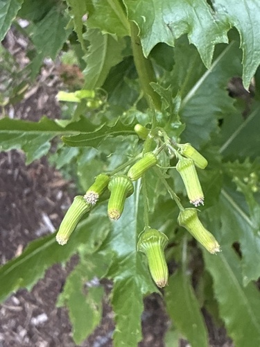
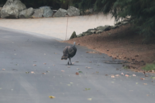


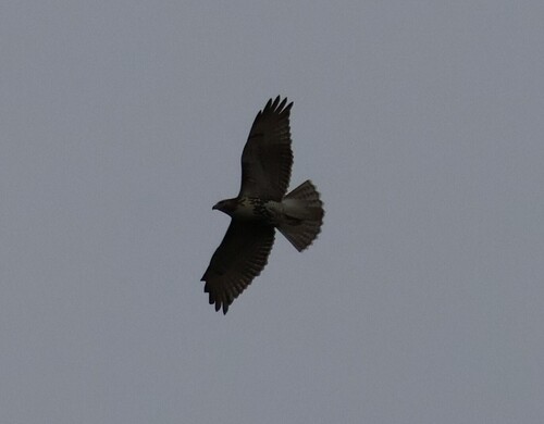


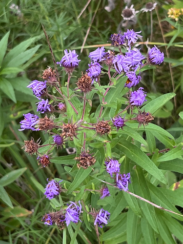
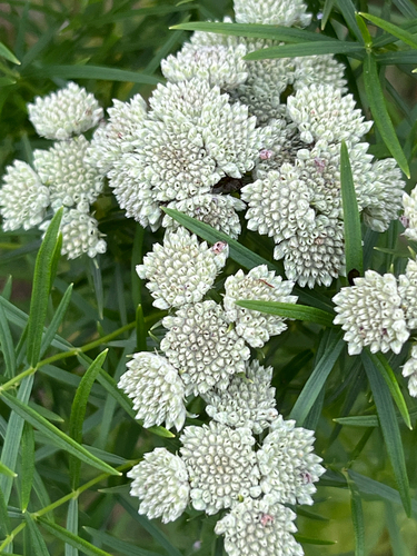
Research-grade observations from iNaturalist (within ~15 mi).
Nearest stream gauge
Events
Gallery
Sources
- • US Census Bureau (ACS 5-year estimates)
- • Open-Meteo (ERA5 reanalysis)
- • NOAA National Weather Service
- • Wikidata
- • Open-Meteo Air Quality (CAMS)
- • USGS Earthquake Catalog (global feed)
- • GBIF (Global Biodiversity Information Facility)
- • iNaturalist
- • CDC PLACES
- • Open-Meteo / sunrise-sunset.org
- • Open Library
- • Wikidata SPARQL (CC0) — population, area, elevation, inception, head of government, Commons image
Notes: Nearby POIs unavailable; Photos unavailable; Schools data unavailable; Walkability unavailable; EPA pollution data unavailable; Livability counts unavailable; FEMA NRI data unavailable; Wikipedia History/Geography sections unavailable; Wikidata facts unavailable