Browse / Namibia / Zambezi / Katima Mulilo
Katima Mulilo
Zambezicity

Katima Mulilo
Total population
28,362
Founded
1935
Air quality index
Demographic figures from Namibia Statistics Agency. Overview below cites Wikipedia and may reference a different year.
City facts
Sister cities
Facts from Wikidata (CC0).
Overview
Katima Mulilo, or simply Katima is the capital of the Zambezi Region in Namibia. It had 46,401 inhabitants in 2023 and comprises two electoral constituencies, Katima Mulilo Rural and Katima Mulilo Urban. It is located on the B8 national road on the banks of the Zambezi River in the Caprivi Strip in lush riverine vegetation with tropical birds and monkeys. The town receives annual average rainfall of 654 millimetres (25.7 in).
Read more on WikipediaHistory & geography
History
The name Katima Mulilo comes from the SiLozi for quench the fire, referring to nearby rapids in the Zambezi. From early days (and before the advent of firelighting matches), there was river transport by barge (propelled by paddlers) along the Zambezi from Livingstone to Sesheke, onwards past the Ngonye Falls at Sioma, where an attempt was made in about 1905 to bypass the Falls with a canal. Barges were unloaded and dragged by oxen around the Falls. The route continued to Mongu, the administrative capital of Barotseland, and northwards to the settlement of Balovale (now Zambezi) in the North West of Zambia, at . When the barge reached Katima Mulilo, the fire was extinguished (but embers were kept), and the barge was unloaded and then dragged empty up the rapids, and re-loaded before continuing the journey – but not before the fire was re-lit. On 28 January 1935, the administrative centre of the Caprivi Strip was moved from Schuckmannsburg to Katima Mulilo. This date is assumed as the foundation date of Katima Mulilo. The regional office, the only brick-and-mortar building at Katima Mulilo at a time when the area consisted exclusively of pristine forests, was built under a giant Baobab situated near today's SWAPO Party regional offices. In present times the tree is known as the Toilet Tree because of a rest room carved into it. Katima Mulilo was very sparsely populated at that time. It had a missionary school run by the Seventh-day Adventists, and the small settlements were connected only by sleigh tracks. Without any roads nor other infrastructure it was difficult to administer the Caprivi Strip from here. The South African administration therefore decided to shift the regional office again, this time to Pretoria, in 1939. Given its proximity to important transport…
Geography
The oldest suburbs are Nghweeze, the former Blacks' township, and Katima Mulilo Proper, the area restricted to Whites during the apartheid era. Butterfly, Cowboy, Choto and Mahohoma are registered informal settlements of Katima, further parts of town are named Nambweza, Soweto (South–Western Townships, a reminiscence of the famous suburb of Johannesburg), New Look, Mabuluma, Lyambai, Bebi, Greenwell Matongo, Macaravan East and West, and NHE (from National Housing Enterprises, a governmental low-cost housing company that drew development here). The Lozi people are a Bantu-speaking ethnic group native to southern Africa. They consist of several tribes, including the Bafwe, Bambukushu, Basubia, Batotela, and Bayeyi, each with its own dialect and traditional authority. These tribes share the same Lozi culture and traditions. Silozi serves as the standard language that unifies them and is widely used in educational materials, media such as television and radio, and government communications. Additionally, Silozi plays a crucial role in preserving and promoting cultural heritage, serving as a common medium for cultural practices and ceremonies. Additionally, there is a population of San, specifically the Khwe people, residing in Bwabwata in the western part of the region. The town's coat of arms, still very similar to that used by the Caprivi government, depicts these tribes as two elephants facing each other, symbolising unity and peaceful coexistence of the tribal chiefs. Katima Mulilo has a hot semi-arid climate (Köppen BSh), bordering on a dry-winter humid subtropical climate (Cwa). Almost all rainfall occurs from November to March, when the weather is hot and humid although substantially moderated by altitude. In the long dry season between April and October the…
Excerpted from the corresponding Wikipedia article (CC BY-SA).
Geography
Coordinates & boundaries from the US Census TIGER/Line shapefiles.
Climate
Air quality
Current readings from Open-Meteo Air Quality API (Copernicus CAMS European reanalysis).
Walkability
Amenities nearby
Wildlife & biodiversity
Most-observed species
- White-browed Robin-ChatCossypha heuglini Hartlaub, 1866 · Aves739
- Fork-tailed DrongoDicrurus adsimilis (Bechstein, 1794) · Aves720
- Schalow's TuracoTauraco schalowi (Reichenow, 1891) · Aves715
- Emerald-spotted Wood-DoveTurtur chalcospilos (Wagler, 1827) · Aves702
- Red-eyed DoveStreptopelia semitorquata (Rüppell, 1837) · Aves673
- Long-tailed CormorantMicrocarbo africanus (Gmelin, 1789) · Aves642
- Brown-hooded KingfisherHalcyon albiventris (Scopoli, 1786) · Aves636
- Black-collared BarbetLybius torquatus (Dumont, 1805) · Aves626
Citizen-science & research observations from the Global Biodiversity Information Facility (GBIF).
Earthquake history
Events from the USGS Earthquake Catalog (global) (FDSN Event Web Service).
Photos
Sights & places nearby
Notable people from here


People born within ~10 km, from Wikidata (CC0). Click any name for their Wikipedia article.
Nearby places in Zambezi
- La Tuna4971.6 mi away · pop. 244
- Barrio Cópola5010.1 mi away · pop. 838
- Barrio La Lucha5010.2 mi away · pop. 409
- Mesa Verde9673.4 mi away
- Holtville9722 mi away
- El Centro9732.8 mi away · pop. 44,322
- Bombay Beach9733.1 mi away
- Furnace Creek9736.7 mi away
- El Centro Naval Air Facility9738.3 mi away
- Mecca9748.2 mi away
- Desert Shores9749.7 mi away
- Coachella9750.6 mi away · pop. 41,941
Geography & sun
Elevation, sunrise/sunset and daylight from Open-Meteo. Solar climatology from NASA POWER.
Nearby airports
Public attention
Pageview totals from the Wikimedia Pageviews API.
Books about this place
Recent natural events nearby
Ground air-quality sensors
Recently spotted species
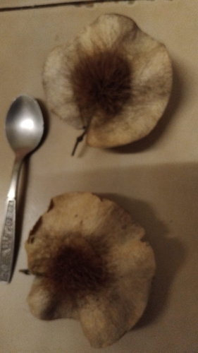
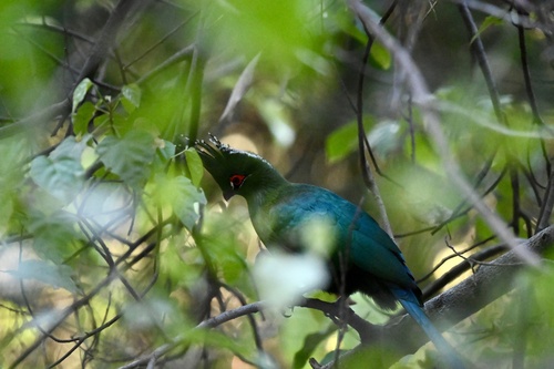
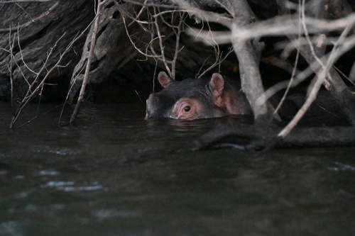
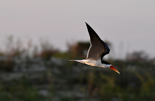
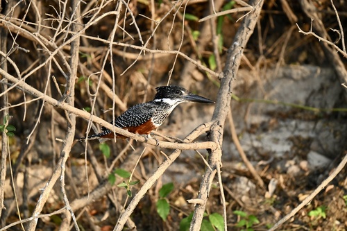
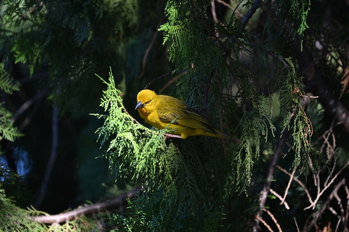
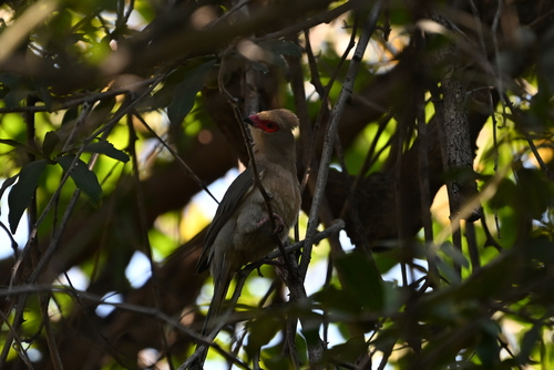
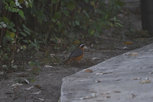
Research-grade observations from iNaturalist (within ~15 mi).
Events
Gallery
Sources
- • Wikipedia
- • Wikidata
- • Open-Meteo Air Quality (CAMS)
- • USGS Earthquake Catalog (global feed)
- • GBIF (Global Biodiversity Information Facility)
- • iNaturalist
- • Open-Meteo / sunrise-sunset.org
- • Wikipedia Pageviews API