Browse / United States / California / El Centro Naval Air Facility
El Centro Naval Air Facility
CaliforniaCDP
Total population
443
Median home value
$0
Bachelor's+
Median income
$69,063
Demographic figures from US Census Bureau · ACS 5-year estimates. Overview below cites Wikipedia and may reference a different year.
City facts
Overview
El Centro Naval Air Facility is a small census-designated community that lies in California, United States. Geographically it lies in the northern hemisphere at a warm temperate latitude (32.825°, -115.668°). Recent open-data figures place its population at about 443. That works out to roughly 41 residents per square kilometre — low overall population density. The administrative footprint covers about 10.9 km². Open solar datasets indicate about 2,166 kWh/m² of solar irradiance per year, combined with sunshine for roughly 85% of daylight hours. The latitude suggests warm summers and cool winters. Continue scrolling for population, climate, environmental and points-of-interest data drawn from public sources.
Summary composed automatically from structured open data on this page. See our Terms for details.
History & geography
Demographics & economy
Race & ethnicity
Source: US Census Bureau — American Community Survey, 5-year estimates.
Geography
Coordinates & boundaries from the US Census TIGER/Line shapefiles.
Climate
Current forecast
Forecast for El Centro Naval Air Facility, CA from NOAA NWS API.
Air quality
Industrial & pollution facilities
Natural hazard risk
Health (adults)
Age-adjusted prevalence estimates from CDC PLACES (latest release).
Walkability
Amenities nearby
Wildlife & biodiversity
Most-observed species
- Eurasian Collared-DoveStreptopelia decaocto (Frivaldszky, 1838) · Aves1,709
- American KestrelFalco sparverius Linnaeus, 1758 · Aves1,374
- Northern MockingbirdMimus polyglottos (Linnaeus, 1758) · Aves1,285
- Mourning DoveZenaida macroura (Linnaeus, 1758) · Aves1,266
- Yellow-rumped WarblerSetophaga coronata (Linnaeus, 1766) · Aves1,241
- Great-tailed GrackleQuiscalus mexicanus (Gmelin, 1788) · Aves1,233
- Black PhoebeSayornis nigricans (Swainson, 1827) · Aves1,200
- VerdinAuriparus flaviceps (Sundevall, 1850) · Aves1,095
Citizen-science & research observations from the Global Biodiversity Information Facility (GBIF).
Schools
Largest nearby schools
- Central Union HighHigh · El Centro · 1,957 students · 20.4:1 ratio
- Southwest HighHigh · El Centro · 1,889 students · 20.5:1 ratio
- Imperial HighHigh · Imperial · 1,362 students · 23.5:1 ratio
- McCabe ElementaryElementary · El Centro · 1,209 students · 25.2:1 ratio
- Frank M. Wright MiddleMiddle · Imperial · 1,023 students · 23.3:1 ratio
- Ben Hulse ElementaryElementary · Imperial · 794 students · 23.4:1 ratio
- Imperial Cross ElementaryElementary · Imperial · 710 students · 24.5:1 ratio
- Dogwood ElementaryElementary · Heber · 646 students · 20.8:1 ratio
Public K–12 schools within ~10 mi from Urban Institute Education Data Portal (NCES Common Core of Data, 2022).
Earthquake history
Most recent
- M 2.97 — 2026-09-2012 km SW of Estacion Coahuila, B.C., MX
- M 2.65 — 2026-08-312 km NW of Delta, B.C., MX
- M 2.56 — 2026-08-2752 km SSW of Progreso, B.C., MX
- M 3.06 — 2026-08-2512 km WSW of Salton City, CA
- M 2.69 — 2026-08-208 km WSW of Alberto Oviedo Mota, B.C., MX
- M 2.63 — 2026-08-1328 km SSW of Ocotillo Wells, CA
Events from the USGS Earthquake Catalog (global) (FDSN Event Web Service).
Photos
Sights & places nearby
Notable people from here


People born within ~10 km, from Wikidata (CC0). Click any name for their Wikipedia article.
Nearby places in California
Geography & sun
Elevation, sunrise/sunset and daylight from Open-Meteo. Solar climatology from NASA POWER.
Nearby airports
Public attention
Books about El Centro Naval Air Facility

Search results from Open Library.
Recent natural events nearby
- Wildfire Campwood, Yavapai, ArizonaWildfires · 2026-08-23 · 193 mi
- Wildfire RIDGE, Los Angeles, CaliforniaWildfires · 2026-08-07 · 227 mi
- Wildfire BUZZARD, Kern, CaliforniaWildfires · 2026-08-05 · 235 mi
Wildfires, storms and other events from NASA EONET (last 12 months, within 250 mi).
Ground air-quality sensors
Recently spotted species
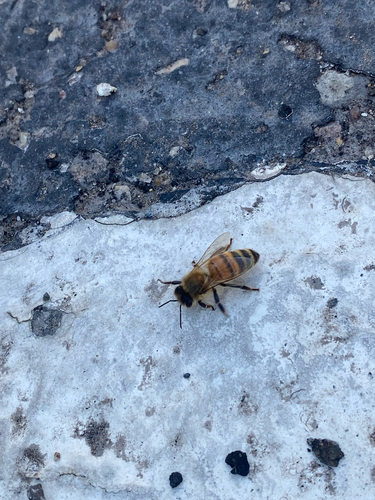
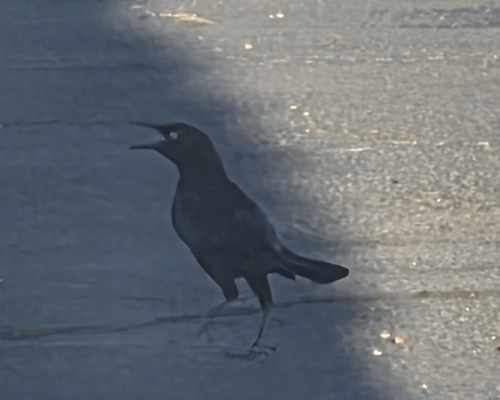
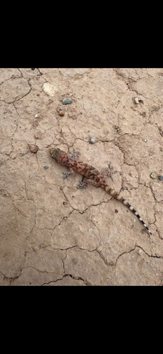
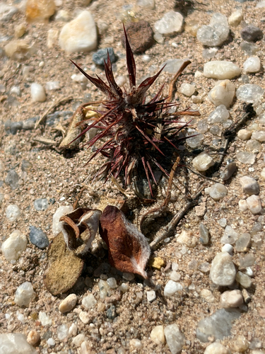
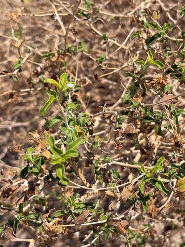
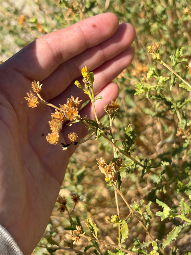
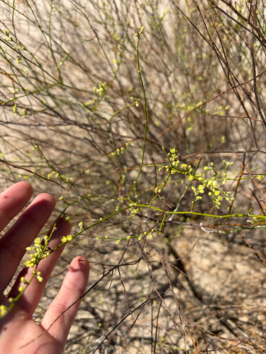
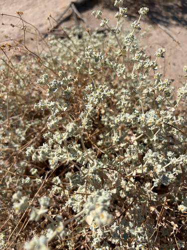
Research-grade observations from iNaturalist (within ~15 mi).
Nearest stream gauge
Events
Gallery
Sources
- • US Census Bureau (ACS 5-year estimates)
- • NOAA National Weather Service
- • Wikidata
- • USGS Earthquake Catalog (global feed)
- • NCES via Urban Institute Education Data Portal
- • GBIF (Global Biodiversity Information Facility)
- • iNaturalist
- • CDC PLACES
- • Open-Meteo / sunrise-sunset.org
- • Open Library
- • NASA EONET