Browse / United States / California / El Centro
El Centro
Californiacity

El Centro
Total population
44,240
Median home value
$323,100
Bachelor's+
Median income
$53,082
Founded
1905
Demographic figures from US Census Bureau · ACS 5-year estimates. Overview below cites Wikipedia and may reference a different year.
City facts
Sister cities
Facts from Wikidata (CC0).
Overview
El Centro is a city in and the county seat of Imperial County, California, United States. El Centro is the most populous city in the Imperial Valley, the east anchor of the Southern California Border Region, and the core urban area and principal city of the El Centro metropolitan area which encompasses all of Imperial County. El Centro is also the most populous U.S. city to lie entirely below sea level. The city, located in southeastern California, is 113 miles (182 km) from San Diego and less than 20 miles (32 km) from the Mexican city of Mexicali.
Read more on WikipediaHistory & geography
History
Spanish explorer Melchor Díaz was one of the first Europeans to visit the area around El Centro and Imperial Valley in 1540. The explorer Juan Bautista de Anza also explored the area in 1776 (an elementary school in El Centro now bears his name). Years later, after the Mexican–American War, the northern half of the valley was annexed by the U.S., while the southern half remained under Mexican rule. Small scale settlement in natural aquifer areas occurred in the early 19th century (the present-day site of Mexicali), but most permanent settlement (Anglo Americans on the U.S. side, Mexicans on the other side) was after 1900. In 1906, the land on which El Centro was later built was purchased by W. F. Holt and C.A. Barker. In 1907 Imperial County was split off from San Diego County; by then much of the valley was successfully irrigated. The City of El Centro was incorporated on April 16, 1908. Early growth was rapid with the city's population reaching 1,610 by 1910 and more than tripling by 1920 to 5,646 people. One reason for this rapid early growth was El Centro's successful battle with the City of Imperial to become the county seat. Liquefaction-related failures were reported in several areas, including the Calexico Wastewater Treatment Plant, Sunbeam Lake Dam, and levee systems near El Centro. The quake also led to the demolition of several iconic structures, including the El Centro Public Library and the old water tower on Eighth Street and Vine Avenue, which had become unsafe. Emergency shelters were activated, and city officials worked to secure federal assistance, though FEMA support was limited. The disaster prompted long-term recovery efforts and the eventual construction of a new library funded by local sales tax measures. Other notable seismic events…
Geography
According to the United States Census Bureau, the city has a total area of , of which over 99% is land. El Centro is located in the Imperial Valley (considered locally as synonymous with Imperial County). The city is below sea level and the largest city in the United States below sea level. The Imperial Valley is in the Colorado Desert, an extension of the larger Sonoran Desert. The agriculture industry's demand for water is supplied by canals diverting water from the nearby Colorado River. The Salton Sea was created after a 1905 flood from the Colorado River. The El Centro earthquake of 1940 had a moment magnitude of 6.9 and a maximum perceived intensity of X (Extreme) on the Mercalli intensity scale. It was the first major earthquake to be recorded by a strong-motion seismograph located next to a fault rupture. It was intensely studied by structural engineers and assumed to be typical until the Northridge earthquake of 1994. In this region, the geology is dominated by the transition of the tectonic plate boundary from rift to transverse fault. The southernmost strands of the San Andreas Fault connect the northernmost extensions of the East Pacific Rise. Consequently, the region is subject to earthquakes, and the crust is being stretched, resulting in a sinking of the terrain over time. El Centro has a hot desert climate (Köppen climate classification: BWh) and is the southernmost desert city below sea level in the continental United States. It features long, extremely hot summers, and mild winters. El Centro has over 350 days of sunshine and under of rain annually. Winter temperatures are in the mid to high 60s °F (mid to high teens °C) with over-night lows in the low 40s °F (mid +0s °C) . During summer days of June; typically the driest month of the year with…
Excerpted from the corresponding Wikipedia article (CC BY-SA).
Demographics & economy
Race & ethnicity
Source: US Census Bureau — American Community Survey, 5-year estimates.
Geography
Coordinates & boundaries from the US Census TIGER/Line shapefiles.
Climate
Current forecast
Forecast for El Centro, CA from NOAA NWS API.
Air quality
Industrial & pollution facilities
Natural hazard risk
Health (adults)
Walkability
Amenities nearby
Wildlife & biodiversity
Most-observed species
- Eurasian Collared-DoveStreptopelia decaocto (Frivaldszky, 1838) · Aves1,157
- Great-tailed GrackleQuiscalus mexicanus (Gmelin, 1788) · Aves1,067
- Mourning DoveZenaida macroura (Linnaeus, 1758) · Aves851
- Northern MockingbirdMimus polyglottos (Linnaeus, 1758) · Aves782
- American KestrelFalco sparverius Linnaeus, 1758 · Aves729
- Rock PigeonColumba livia J.F.Gmelin, 1789 · Aves694
- Cattle EgretBubulcus ibis (Linnaeus, 1758) · Aves673
- Great EgretArdea alba Linnaeus, 1758 · Aves627
Citizen-science & research observations from the Global Biodiversity Information Facility (GBIF).
Schools
Earthquake history
Most recent
- M 2.72 — 2026-10-1520 km W of Delta, B.C., MX
- M 2.97 — 2026-09-2012 km SW of Estacion Coahuila, B.C., MX
- M 2.65 — 2026-08-312 km NW of Delta, B.C., MX
- M 2.56 — 2026-08-2752 km SSW of Progreso, B.C., MX
- M 3.06 — 2026-08-2512 km WSW of Salton City, CA
- M 2.69 — 2026-08-208 km WSW of Alberto Oviedo Mota, B.C., MX
Events from the USGS Earthquake Catalog (global) (FDSN Event Web Service).
Photos
Sights & places nearby
Notable people from here


People born within ~10 km, from Wikidata (CC0). Click any name for their Wikipedia article.
Nearby places in California
Geography & sun
Elevation, sunrise/sunset and daylight from Open-Meteo. Solar climatology from NASA POWER.
Nearby airports
Public attention
Pageview totals from the Wikimedia Pageviews API.
Books about El Centro
Search results from Open Library.
Recent natural events nearby
- Wildfire Campwood, Yavapai, ArizonaWildfires · 2026-08-23 · 190 mi
- Wildfire RIDGE, Los Angeles, CaliforniaWildfires · 2026-08-07 · 233 mi
- Wildfire BUZZARD, Kern, CaliforniaWildfires · 2026-08-05 · 242 mi
Wildfires, storms and other events from NASA EONET (last 12 months, within 250 mi).
Ground air-quality sensors
Recently spotted species
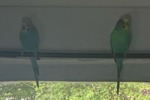
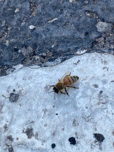
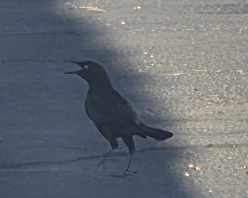
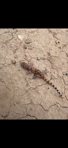
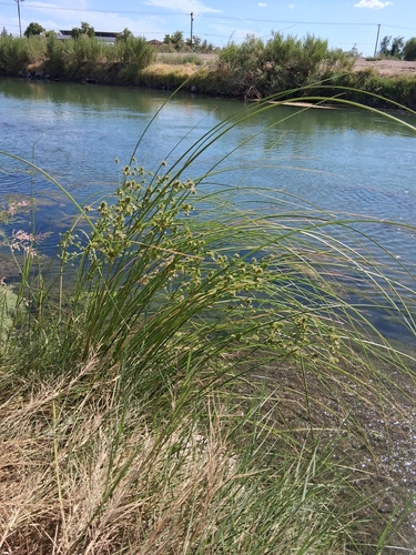
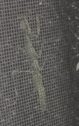
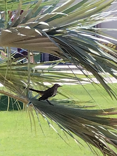
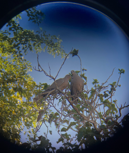
Research-grade observations from iNaturalist (within ~15 mi).
Nearest stream gauge
Events
Gallery
Sources
- • Wikipedia
- • US Census Bureau (ACS 5-year estimates)
- • NOAA National Weather Service
- • Wikidata
- • USGS Earthquake Catalog (global feed)
- • GBIF (Global Biodiversity Information Facility)
- • iNaturalist
- • Open-Meteo / sunrise-sunset.org
- • Wikipedia Pageviews API
- • Open Library
- • NASA EONET