Browse / United States / California / Mesa Verde
Mesa Verde
CaliforniaCDP
Total population
1,016
Median home value
$110,100
Bachelor's+
Median income
$51,188
Air quality index
Demographic figures from US Census Bureau · ACS 5-year estimates. Overview below cites Wikipedia and may reference a different year.
City facts
Facts from Wikidata (CC0).
Overview
Mesa Verde is a census-designated place in Riverside County, California. Mesa Verde sits at an elevation of 390 feet (120 m). The 2020 United States census reported Mesa Verde's population was 766.
Read more on WikipediaHistory & geography
Geography
According to the United States Census Bureau, the CDP covers an area of 4.3 square miles (11.1 km), all of it land.
Excerpted from the corresponding Wikipedia article (CC BY-SA).
Demographics & economy
Race & ethnicity
Source: US Census Bureau — American Community Survey, 5-year estimates.
Geography
Coordinates & boundaries from the US Census TIGER/Line shapefiles.
Climate
Current forecast
Forecast for Mesa Verde, CA from NOAA NWS API.
Air quality
Current readings from Open-Meteo Air Quality API (Copernicus CAMS European reanalysis).
Industrial & pollution facilities
Natural hazard risk
Health (adults)
Walkability
Amenities nearby
Wildlife & biodiversity
Most-observed species
- Great-tailed GrackleQuiscalus mexicanus (Gmelin, 1788) · Aves992
- European StarlingSturnus vulgaris Linnaeus, 1758 · Aves631
- Mourning DoveZenaida macroura (Linnaeus, 1758) · Aves589
- Red-winged BlackbirdAgelaius phoeniceus (Linnaeus, 1766) · Aves559
- Turkey VultureCathartes aura (Linnaeus, 1758) · Aves492
- Common RavenCorvus corax Linnaeus, 1758 · Aves468
- American KestrelFalco sparverius Linnaeus, 1758 · Aves420
- Yellow-rumped WarblerSetophaga coronata (Linnaeus, 1766) · Aves419
Citizen-science & research observations from the Global Biodiversity Information Facility (GBIF).
Schools
Earthquake history
Most recent
- M 2.92 — 2026-08-1111 km SW of Niland, CA
- M 2.95 — 2026-07-2510 km SW of Niland, CA
- M 2.51 — 2026-07-099 km NW of Calipatria, CA
- M 3.64 — 2026-06-1510 km SW of Niland, CA
- M 3.18 — 2026-06-1510 km SW of Niland, CA
- M 2.61 — 2026-02-179 km SW of Niland, CA
Events from the USGS Earthquake Catalog (global) (FDSN Event Web Service).
Photos
Sights & places nearby
Notable people from here
Nearby places in California
- Niland51.4 mi away
- Bombay Beach59.7 mi away
- Holtville65.7 mi away
- North Shore68.1 mi away
- El Centro73.6 mi away · pop. 44,322
- El Centro Naval Air Facility75.9 mi away
- Desert Shores76.5 mi away
- Oasis80.4 mi away
- Coachella81.5 mi away · pop. 41,941
- Needles84.4 mi away
- Indio Hills88.8 mi away · pop. 1,117
- Ocotillo94.2 mi away
Geography & sun
Elevation, sunrise/sunset and daylight from Open-Meteo. Solar climatology from NASA POWER.
Nearby airports
Public attention
Pageview totals from the Wikimedia Pageviews API.
Books about Mesa Verde


Search results from Open Library.
Recent natural events nearby
- Wildfire Campwood, Yavapai, ArizonaWildfires · 2026-08-23 · 117 mi
- Prescribed Fire D2 Vincent RX, Coconino, ArizonaWildfires · 2026-09-17 · 224 mi
- Prescribed Fire D2 Dye RX, Coconino, ArizonaWildfires · 2026-09-17 · 226 mi
- Wildfire RIDGE, Los Angeles, CaliforniaWildfires · 2026-08-07 · 248 mi
Wildfires, storms and other events from NASA EONET (last 12 months, within 250 mi).
Ground air-quality sensors
Recently spotted species
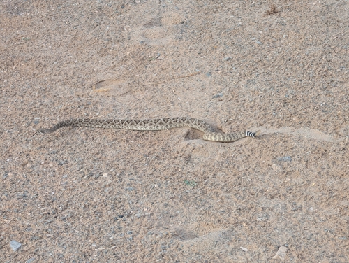
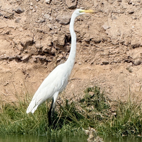
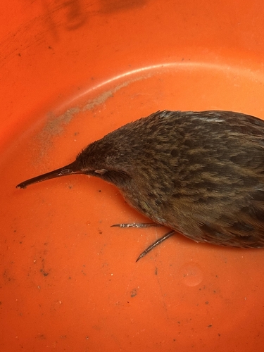
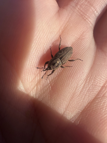
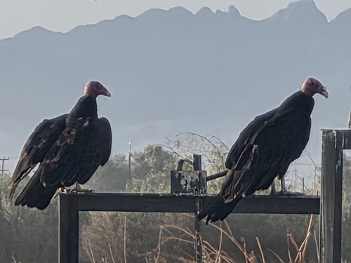
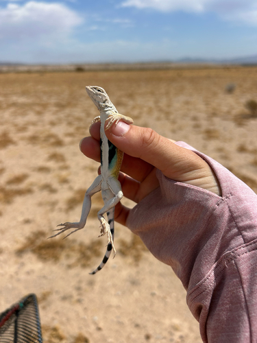
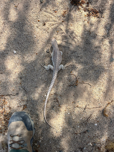
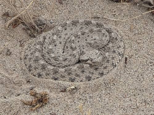
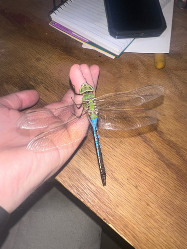
Research-grade observations from iNaturalist (within ~15 mi).
Nearest stream gauge
Events
Gallery
Sources
- • Wikipedia
- • US Census Bureau (ACS 5-year estimates)
- • NOAA National Weather Service
- • Wikidata
- • Open-Meteo Air Quality (CAMS)
- • USGS Earthquake Catalog (global feed)
- • GBIF (Global Biodiversity Information Facility)
- • iNaturalist
- • Open-Meteo / sunrise-sunset.org
- • Wikipedia Pageviews API
- • Open Library
- • NASA EONET