Browse / United Kingdom / England / Great Ayton
Great Ayton
Englandvillage

Great Ayton
Total population
4,500
Demographic figures from UK Office for National Statistics. Overview below cites Wikipedia and may reference a different year.
City facts
Facts from Wikidata (CC0).
Overview
Great Ayton is a village and civil parish in North Yorkshire, England. The River Leven flows through the village, which lies just north of the North York Moors. According to the 2021 Census, the parish has a population of 4,346.
Read more on WikipediaHistory & geography
History
In the 18th and 19th centuries Great Ayton was a centre for the industries of weaving, tanning, brewing, and tile making. along with ironstone, jet and alum from the Cleveland Hills. Great Ayton was home to the Great Ayton Friends' School run by the Quakers, from 1841 until it closed in 1997. The village serves as the base for Cleveland Mountain Rescue Team. From 1974 to 2023 it was part of the Hambleton District; it is now administered by the unitary North Yorkshire Council.
Geography
Great Ayton is at the foot of the Cleveland Hills beneath Easby Moor and the distinctively-shaped Roseberry Topping. The River Leven, a tributary of the River Tees, flows through the village and links its two centres, High Green and Low Green. The Cleveland Dyke, a narrow band of hard whinstone rock that runs for about 31 miles between Robin Hood's Bay and Eaglescliffe lies to the north-east of the village. The village lies near Middlesbrough's built-up area, south-east by less than , from its centre. It is also north-east of Stokesley and from Guisborough. From 1894 to 1974, it was in the Stokesley Rural District of the North Riding of Yorkshire. The centre is from the nexus of Redcar and Cleveland, borough of Middlesbrough and the Hambleton districts. This is in keeping with the Langbaurgh hamlet as a historic meeting place of the Langbaurgh Wapentake. An electoral ward of the same name stretches east to Kildale with a population of 4,973 at the 2011 census .
Excerpted from the corresponding Wikipedia article (CC BY-SA).
Geography
Coordinates & boundaries from the US Census TIGER/Line shapefiles.
Climate
Air quality
Walkability
Amenities nearby
Wildlife & biodiversity
Earthquake history
Photos
Sights & places nearby
Notable people from here


People born within ~10 km, from Wikidata (CC0). Click any name for their Wikipedia article.
Nearby places in England
Geography & sun
Elevation, sunrise/sunset and daylight from Open-Meteo. Solar climatology from NASA POWER.
Nearby airports
Public attention
Pageview totals from the Wikimedia Pageviews API.
Books about Great Ayton
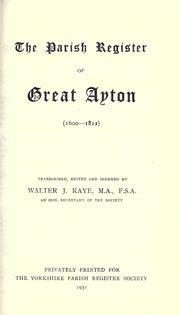



Search results from Open Library.
Recent natural events nearby
Ground air-quality sensors
Recently spotted species
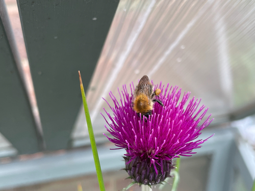
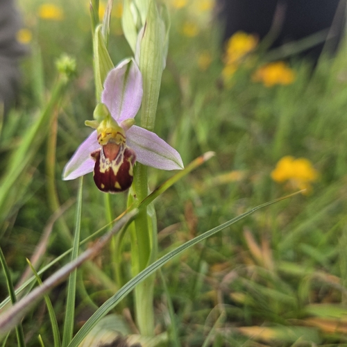

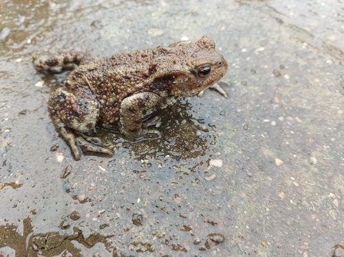
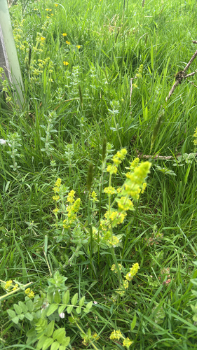
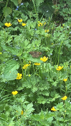
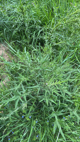
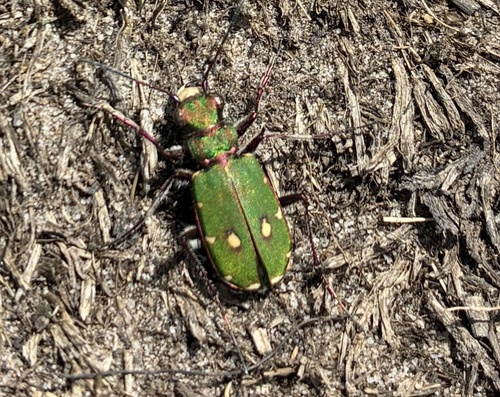
Research-grade observations from iNaturalist (within ~15 mi).
Events
Gallery
Official Identifiers
ONS — UK Office for National Statistics
- ONS code
- osgb4000000074576096
- Local type
- Village
- Region
- Yorkshire and the Humber
api.postcodes.io / OS Open Names
Sources
- • Wikipedia
- • Wikidata
- • iNaturalist
- • Open-Meteo / sunrise-sunset.org
- • Wikipedia Pageviews API
- • Open Library
- • ONS / OS Open Names — UK official place gazetteer, via api.postcodes.io (OS code, local type, county/unitary, district/borough, region)
- • ONS — UK Office for National Statistics — api.postcodes.io / OS Open Names