Browse / United Kingdom / England / Ilford
Ilford
Englandtown

Ilford
Total population
168,168
Demographic figures from UK Office for National Statistics. Overview below cites Wikipedia and may reference a different year.
City facts
Overview
Ilford is a large town in East London, England, 9 miles (14 km) northeast of Charing Cross. Part of the London Borough of Redbridge, Ilford is within the ceremonial county of Greater London. It had a population of 168,168 in 2011, compared to 303,858 for the entire borough.
Read more on WikipediaHistory & geography
History
The only complete skull of a mammoth discovered in the United Kingdom was unearthed in 1864 close to where Uphall Road is today. The skull can now be seen in the Natural History Museum and a cast of the skull and other prehistoric animal remains can be seen at Redbridge Museum, Central Library, Ilford. Redevelopment has destroyed much of the evidence for early Ilford, but the oldest evidence for human occupation is the first- and second-century BC Iron Age earthwork known as Uphall Camp. This was situated between the Roding and Ilford Lane and is recorded in 18th-century plans. Roman finds have also been made in the vicinity. A nearby mound called Lavender Mount existed into the 1960s, when it was removed during building work at Howards chemical works. Excavation has shown that Lavender Mount may have been a 16th-century 'beacon-mound'. Archaeological discoveries are displayed at Redbridge Museum. Ilford straddled the important road from London to Colchester. The Middlesex and Essex Turnpike Trust controlled and maintained the road from 1721. The River Roding was made navigable for barges as far as Ilford Bridge from 1737. This was founded in 1879 by Alfred H. Harman, a photographer from Peckham, who established the business in a house in Cranbrook Road making gelatino-bromide 'dry' plates. The Exchange is the main shopping centre. By 1653, Ilford was a compact village of 50 houses, mostly sited north and south of the current Broadway and the population of the Municipal Borough of Ilford peaked in 1951 at 184,706, declining to 178,024 in 1961 before being absorbed into Redbridge and Greater London in 1965. At the 2001 Census the combined populations of the Ilford North and Ilford South constituencies was 196,414. John Logie Baird, who invented the television,…
Geography
The town is bounded in the west by the North Circular Road, Manor Park and the River Roding, with Chadwell Heath and Romford to the east and Barking to the South. The Alders Brook is a tributary of the Roding that marks the boundary between Newham and Redbridge. Climate data for Ilford is taken from the nearest weather station at Greenwich, around south south west of the railway station:
Excerpted from the corresponding Wikipedia article (CC BY-SA).
Geography
Coordinates & boundaries from the US Census TIGER/Line shapefiles.
Climate
Air quality
Walkability
Amenities nearby
Wildlife & biodiversity
Most-observed species
- Common Wood-PigeonColumba palumbus Linnaeus, 1758 · Aves55,134
- Carrion CrowCorvus corone Linnaeus, 1758 · Aves53,216
- Eurasian MagpiePica pica (Linnaeus, 1758) · Aves52,203
- Rock PigeonColumba livia J.F.Gmelin, 1789 · Aves49,263
- European RobinErithacus rubecula (Linnaeus, 1758) · Aves46,988
- Rose-ringed ParakeetPsittacula krameri (Scopoli, 1769) · Aves42,330
- Eurasian Blue TitCyanistes caeruleus (Linnaeus, 1758) · Aves39,673
- Great TitParus major Linnaeus, 1758 · Aves39,149
Citizen-science & research observations from the Global Biodiversity Information Facility (GBIF).
Earthquake history
Most recent
- M 3.1 — 2020-09-225 km N of Aylesbury, United Kingdom
- M 3.9 — 2020-09-082 km WSW of Pitstone, United Kingdom
- M 3.3 — 2019-02-273 km SE of Dorking, United Kingdom
- M 2.8 — 2018-07-051 km S of Ewhurst, United Kingdom
- M 2.6 — 2018-06-275 km W of Capel, United Kingdom
- M 2.7 — 2018-04-014 km E of Holmwood, United Kingdom
Events from the USGS Earthquake Catalog (global) (FDSN Event Web Service).
Photos
Sights & places nearby
Notable people from here


People born within ~10 km, from Wikidata (CC0). Click any name for their Wikipedia article.
Nearby places in England
Geography & sun
Elevation, sunrise/sunset and daylight from Open-Meteo. Solar climatology from NASA POWER.
Nearby airports
Public attention
Pageview totals from the Wikimedia Pageviews API.
Books about Ilford


Search results from Open Library.
Recent natural events nearby
Ground air-quality sensors
Recently spotted species
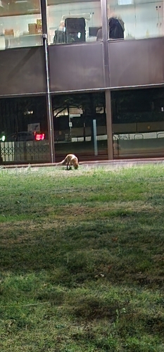
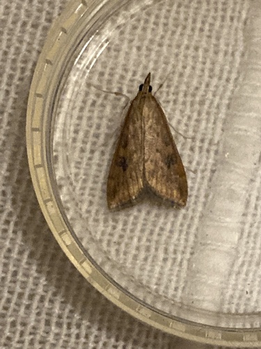
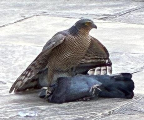
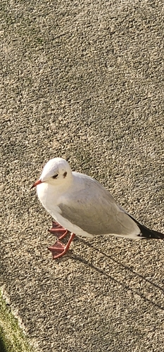

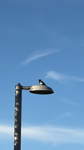
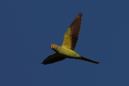
Research-grade observations from iNaturalist (within ~15 mi).
Events
Gallery
Official Identifiers
ONS — UK Office for National Statistics
- ONS code
- osgb4000000074579136
- Local type
- Other Settlement
- Region
- London
api.postcodes.io / OS Open Names
Sources
- • Wikipedia
- • Wikidata
- • USGS Earthquake Catalog (global feed)
- • GBIF (Global Biodiversity Information Facility)
- • iNaturalist
- • Open-Meteo / sunrise-sunset.org
- • Wikipedia Pageviews API
- • Open Library
- • Wikidata SPARQL (CC0) — population, area, elevation, inception, head of government, Commons image
- • ONS / OS Open Names — UK official place gazetteer, via api.postcodes.io (OS code, local type, county/unitary, district/borough, region)
- • ONS — UK Office for National Statistics — api.postcodes.io / OS Open Names