Browse / United Kingdom / England / Ripon
Ripon
Englandcity

Ripon
Total population
16,000
Demographic figures from UK Office for National Statistics. Overview below cites Wikipedia and may reference a different year.
City facts
Sister cities
Facts from Wikidata (CC0).
Overview
Ripon is a cathedral city and civil parish in North Yorkshire, England. It is located at the confluence of two tributaries of the River Ure, the Laver and Skell.
Read more on WikipediaHistory & geography
History
During its prehistory the area which later became Ripon was under the control of the Brigantes, a Brythonic tribe. Three miles (5 km) north at Hutton Moor there is a large circular earthwork created by them. The Romans did not settle Ripon, but they had a military outpost around away at North Stainley. Solid evidence for the origins of Ripon can be traced back to the 7th century, the time of the Anglian kingdom of Northumbria. The first structure built in the area, known at the time as Inhrypum, was a Christian church dedicated to St Peter, with the settlement originating in 658. This was founded by Wilfrid, a Northumbrian nobleman, who later became Archbishop of York; he was granted the land by King Alhfrith. The earliest settlers were stonemasons, glaziers and plasterers that Wilfrid brought over to help construct the Ripon monastery, from Lyon in Francia and Rome, which was then under Byzantine rule. The years following the death of Wilfrid are obscure in Ripon's history. After the invasion of the Great Heathen Army of Norse Vikings in Northumbria, the Danelaw was established and the Kingdom of Jórvík was founded in the Yorkshire area. In 937, Athelstan, then King of England, granted the privilege of sanctuary to Ripon, for a mile around the church. One of his successors was less well-disposed: after the Northumbrians rebelled against English rule in 948, King Edred had the buildings at Ripon burned. Prosperity was restored by the end of the 10th century, as the body of Saint Cuthbert was moved to Ripon for a while, due to the threat of Danish raids. After the Norman conquest, much of the north rebelled in 1069, even trying to bring back Danish rule; the suppression that followed was the Harrying of the North, which resulted in the death of approximately…
Geography
Ripon lies at the confluence of the rivers Laver and the Skell, which meet in the west of the city. As they flow through the city, the Skell feeds water into the basin of Ripon Canal. East of the city, the Skell meets the River Ure, and both the Ure and canal head south-eastwards towards Boroughbridge. The Ure was the traditional boundary between the old West and North Ridings of Yorkshire. As the city is at the meeting point of three rivers, it has flooded often in the 20th and 21st centuries; notable floods have occurred in 1982, 1991, 1995, 2000, 2005 and 2007. This prompted spending over £14 million on the building of flood defences for the city and a storage area upstream of the city which can hold of water. Much of the districts geology consists of magnesian limestone, part of the Permian rock belt that extends southwards from Darlington to Wetherby. The area has pockets of gypsum underlying the surface soils. Water has dissolved the gypsum, leaving the area prone to sinkholes, especially north of the city and on the northern side of the Ure. The climate data below is for Topcliffe, which is to the north-east.
Excerpted from the corresponding Wikipedia article (CC BY-SA).
Geography
Coordinates & boundaries from the US Census TIGER/Line shapefiles.
Climate
10-year averages from ERA5 reanalysis (Open-Meteo).
Air quality
Walkability
Amenities nearby
Wildlife & biodiversity
Most-observed species
- Common Wood-PigeonColumba palumbus Linnaeus, 1758 · Aves3,046
- Eurasian BlackbirdTurdus merula Linnaeus, 1758 · Aves2,833
- MallardAnas platyrhynchos Linnaeus, 1758 · Aves2,765
- Black-headed GullChroicocephalus ridibundus (Linnaeus, 1766) · Aves2,546
- Graylag GooseAnser anser (Linnaeus, 1758) · Aves2,497
- European RobinErithacus rubecula (Linnaeus, 1758) · Aves2,398
- Carrion CrowCorvus corone Linnaeus, 1758 · Aves2,319
- Eurasian Blue TitCyanistes caeruleus (Linnaeus, 1758) · Aves2,291
Citizen-science & research observations from the Global Biodiversity Information Facility (GBIF).
Earthquake history
Most recent
- M 3.4 — 2025-12-030 km ESE of Carnforth, United Kingdom
- M 2.8 — 2020-01-231 km NW of Stockton-on-Tees, United Kingdom
- M 3.6 — 2011-01-035 km S of Masham, United Kingdom
- M 3.7 — 2009-04-283 km WSW of Flookburgh, United Kingdom
- M 3 — 2009-04-115 km ENE of Goxhill, United Kingdom
- M 2.5 — 2007-08-102 km SW of Failsworth, United Kingdom
Events from the USGS Earthquake Catalog (global) (FDSN Event Web Service).
Photos
Sights & places nearby
Notable people from here


People born within ~10 km, from Wikidata (CC0). Click any name for their Wikipedia article.
Nearby places in England
Geography & sun
Elevation, sunrise/sunset and daylight from Open-Meteo. Solar climatology from NASA POWER.
Nearby airports
Public attention
Pageview totals from the Wikimedia Pageviews API.
Books about Ripon
![[Report 1964]](https://covers.openlibrary.org/b/id/11796005-M.jpg)
![[Report 1946]](https://covers.openlibrary.org/b/id/11795998-M.jpg)
![[Report 1925]](https://covers.openlibrary.org/b/id/11796082-M.jpg)
![[Report 1959]](https://covers.openlibrary.org/b/id/11796001-M.jpg)
Search results from Open Library.
Recent natural events nearby
Ground air-quality sensors
Recently spotted species
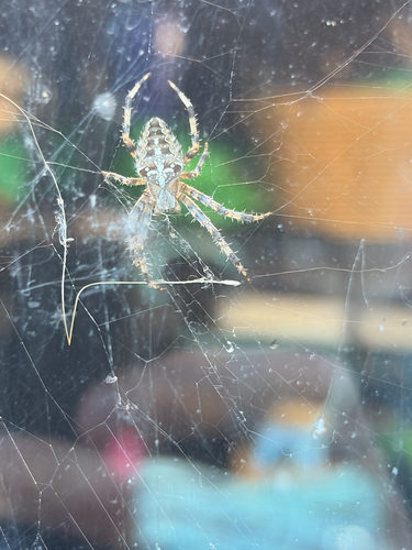
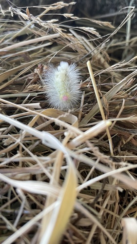
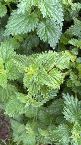
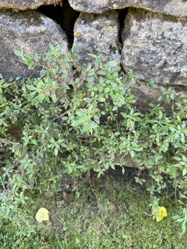
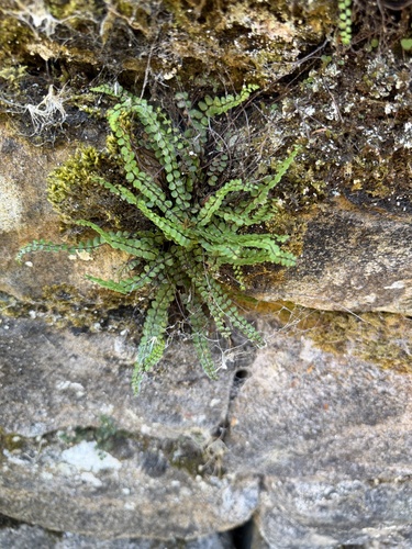
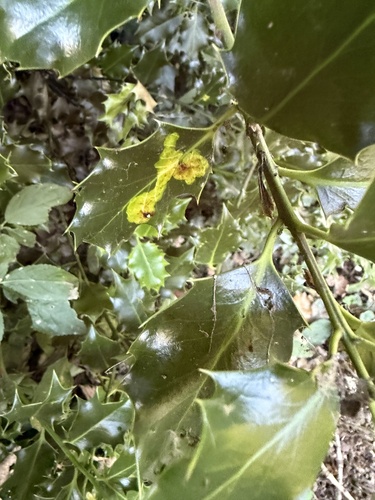
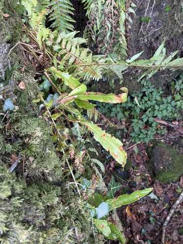
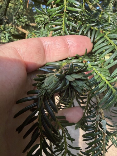
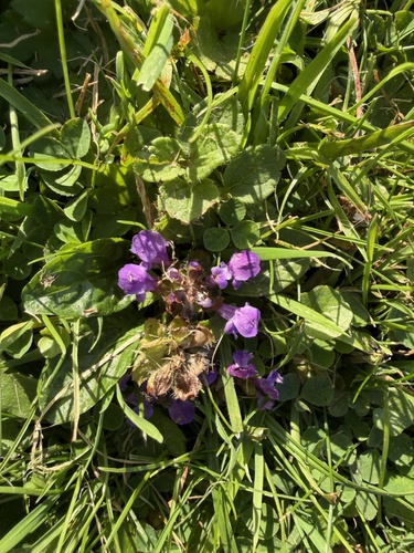
Research-grade observations from iNaturalist (within ~15 mi).
Events
Gallery
Official Identifiers
ONS — UK Office for National Statistics
- ONS code
- osgb4000000074547265
- Local type
- City
- Region
- Yorkshire and the Humber
api.postcodes.io / OS Open Names
Sources
- • Wikipedia
- • Open-Meteo (ERA5 reanalysis)
- • Wikidata
- • USGS Earthquake Catalog (global feed)
- • GBIF (Global Biodiversity Information Facility)
- • iNaturalist
- • Open-Meteo / sunrise-sunset.org
- • Wikipedia Pageviews API
- • Open Library
- • Wikidata SPARQL (CC0) — population, area, elevation, inception, head of government, Commons image
- • ONS / OS Open Names — UK official place gazetteer, via api.postcodes.io (OS code, local type, county/unitary, district/borough, region)
- • ONS — UK Office for National Statistics — api.postcodes.io / OS Open Names