Browse / Uruguay / Canelones / Villa Porvenir
Villa Porvenir
Canelonesvillage
Total population
665
Demographic figures from INE Uruguay. Overview below cites Wikipedia and may reference a different year.
City facts
Facts from Wikidata (CC0).
Overview
Villa Porvenir is a caserio in the Canelones Department of Uruguay.
Read more on WikipediaHistory & geography
Geography
It is located on the north side of Route 6 on its Km. 25.5 and on its intersection with Tomas Berreta street. It lies directly northeast of Toledo and directly southwest of Villa San José and Villa San Felipe.
Excerpted from the corresponding Wikipedia article (CC BY-SA).
Geography
Coordinates & boundaries from the US Census TIGER/Line shapefiles.
Climate
Air quality
Walkability
Amenities nearby
Wildlife & biodiversity
Most-observed species
- Rufous HorneroFurnarius rufus (Gmelin, 1788) · Aves3,095
- Great KiskadeePitangus sulphuratus (Linnaeus, 1766) · Aves2,973
- Picazuro PigeonPatagioenas picazuro (Temminck, 1813) · Aves2,836
- Monk ParakeetMyiopsitta monachus (Boddaert, 1783) · Aves2,570
- Eared DoveZenaida auriculata (Des Murs, 1847) · Aves2,519
- Rufous-bellied ThrushTurdus rufiventris Vieillot, 1818 · Aves2,472
- Rufous-collared SparrowZonotrichia capensis (P.L.S.Müller, 1776) · Aves2,391
- Southern House WrenTroglodytes musculus J.F.Naumann, 1823 · Aves1,964
Citizen-science & research observations from the Global Biodiversity Information Facility (GBIF).
Earthquake history
Events from the USGS Earthquake Catalog (global) (FDSN Event Web Service).
Photos
Sights & places nearby
Notable people from here
Nearby places in Canelones
Geography & sun
Nearby airports
Public attention
Books about this place
Recent natural events nearby
Ground air-quality sensors
Recently spotted species
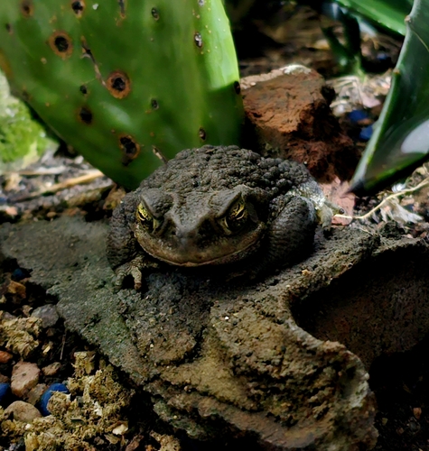
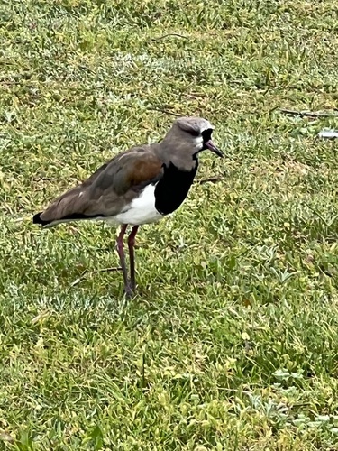
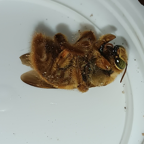
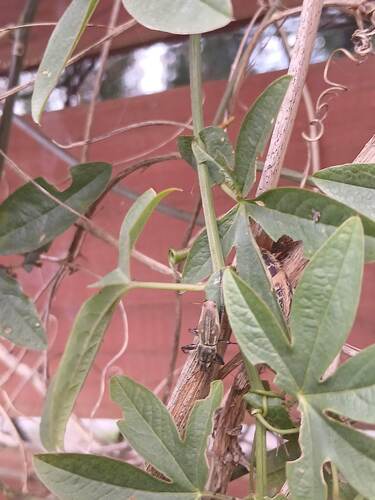
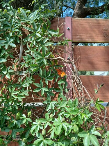
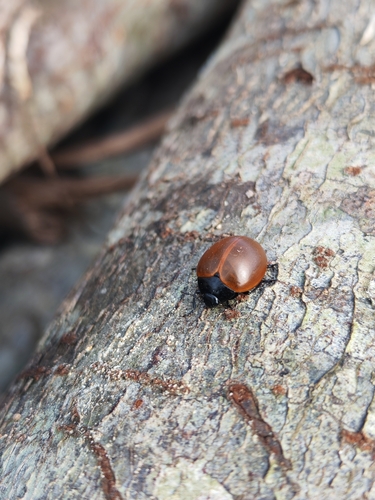
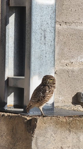
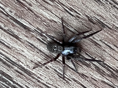
Research-grade observations from iNaturalist (within ~15 mi).
Events
Gallery
Sources
- • Wikipedia
- • Wikidata
- • USGS Earthquake Catalog (global feed)
- • GBIF (Global Biodiversity Information Facility)
- • iNaturalist
- • Wikidata SPARQL (CC0) — population, area, elevation, inception, head of government, Commons image