Browse / United States / Wisconsin / Shorewood
Shorewood
Wisconsinvillage

Shorewood
Total population
13,627
Median home value
$443,700
Bachelor's+
Median income
$86,726
Founded
1900
Demographic figures from US Census Bureau · ACS 5-year estimates. Overview below cites Wikipedia and may reference a different year.
- Beach Hazards Statement · ModerateBeach Hazards Statement issued September 18 at 6:13PM CDT until September 20 at 1:00AM CDT by NWS Milwaukee/Sullivan WI
- Flood Watch · SevereFlood Watch issued September 18 at 6:11PM CDT until September 19 at 1:00PM CDT by NWS Milwaukee/Sullivan WI
Source: NOAA National Weather Service.
City facts
Facts from Wikidata (CC0).
Overview
Shorewood is a village in Milwaukee County, Wisconsin, United States. A suburb of Milwaukee, it is part of the Milwaukee metropolitan area. The population was 13,859 at the 2020 census.
Read more on WikipediaHistory & geography
History
In the early 19th century when the first white settlers arrived, the Shorewood area was controlled by Native Americans, including the Menominee, Potawatomi, and Sauk people. The United States Federal Government traded the land from the Menominee people in 1832 through the Treaty of Washington. The land was organized as part of the Town of Milwaukee in 1835, and when settlers arrived in the mid-1830s, they found the area to be heavily forested. They built two sawmills on the east bank of the Milwaukee River, and the unincorporated community around the sawmills was known as Mechanicsville. Additionally, the roads in the community were of poor quality compared with those in the neighboring city of Milwaukee, and residents were unhappy that tax revenue from the increasingly suburban Shorewood area—including the taxes from Coney Island—were being redistributed across the town rather than being us In the early 1900s, the village developed as a streetcar suburb of Milwaukee, with public transportation allowing residents to easily commute to the city. The village's center emerged along the streetcar lines on Oakland Avenue and Atwater Road (now known as Capitol Drive). Additionally, affluent Milwaukeeans began building mansions in the eastern part of the village along Lake Drive and the bluff overlooking Lake Michigan. As the village population swelled, local municipal institutions became more organized. The village's health department organized in 1918; the police department, in 1920; and the fire department, in 1929. In 1928, the village's elected board of trustees hired a full-time village manager to head the village's day-to-day operations, and Shorewood has had a council–manager government ever since. Shorewood's school district also grew in the 1920s and was…
Geography
Shorewood is located at (43.092061, −87.886333). Nestled between the Milwaukee River and Lake Michigan, Shorewood is bordered by the City of Milwaukee to the south and west and Whitefish Bay to the north. According to the United States Census Bureau, the village has a total area of , all land. Shorewood's border to the west stops at the Milwaukee River's edge, according to the Village Charter, unlike most river municipal boundaries that are set at the middle of the river.
Excerpted from the corresponding Wikipedia article (CC BY-SA).
Demographics & economy
Race & ethnicity
Source: US Census Bureau — American Community Survey, 5-year estimates.
Geography
Coordinates & boundaries from the US Census TIGER/Line shapefiles.
Climate
Current forecast
Forecast for Shorewood, WI from NOAA NWS API.
Air quality
Industrial & pollution facilities
Natural hazard risk
Health (adults)
Age-adjusted prevalence estimates from CDC PLACES (latest release).
Walkability
Amenities nearby
Wildlife & biodiversity
Most-observed species
- American RobinTurdus migratorius Linnaeus, 1766 · Aves37,730
- Northern CardinalCardinalis cardinalis (Linnaeus, 1758) · Aves37,311
- Black-capped ChickadeePoecile atricapillus (Linnaeus, 1766) · Aves34,192
- House SparrowPasser domesticus (Linnaeus, 1758) · Aves33,775
- American GoldfinchSpinus tristis (Linnaeus, 1758) · Aves30,781
- Mourning DoveZenaida macroura (Linnaeus, 1758) · Aves27,064
- Downy WoodpeckerDryobates pubescens (Linnaeus, 1766) · Aves26,797
- House FinchHaemorhous mexicanus (P.L.Statius Müller, 1776) · Aves26,181
Citizen-science & research observations from the Global Biodiversity Information Facility (GBIF).
Schools
Largest nearby schools
- HAPA-Hmong American Peace Academy K3-12Other · Milwaukee · 1,828 students · 28.6:1 ratio
- Hamilton HighHigh · Milwaukee · 1,439 students · 14.2:1 ratio
- Obama School of Career and Technical EducationOther · Milwaukee · 1,402 students · 29.8:1 ratio
- Milwaukee Academy of ScienceOther · Milwaukee · 1,401 students · 20.3:1 ratio
- Reagan College Preparatory HighHigh · Milwaukee · 1,343 students · 22:1 ratio
- King InternationalHigh · Milwaukee · 1,283 students · 17.8:1 ratio
- Riverside HighHigh · Milwaukee · 1,229 students · 13.8:1 ratio
- Golda Meir SchoolOther · Milwaukee · 1,174 students · 19.6:1 ratio
Public K–12 schools within ~10 mi from Urban Institute Education Data Portal (NCES Common Core of Data, 2022).
Earthquake history
Events from the USGS Earthquake Catalog (global) (FDSN Event Web Service).
Photos
Sights & places nearby
Notable people from here
Nearby places in Wisconsin
Geography & sun
Nearby airports
Public attention
Books about this place
Recent natural events nearby
Ground air-quality sensors
Recently spotted species
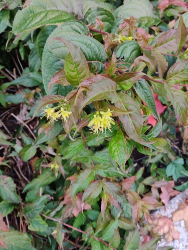
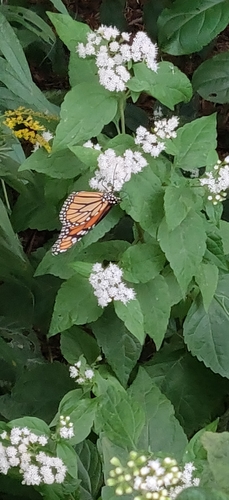
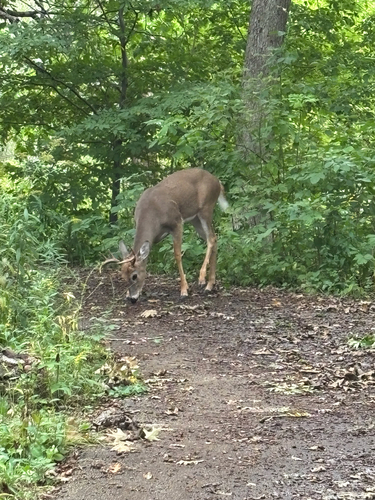
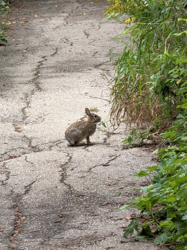
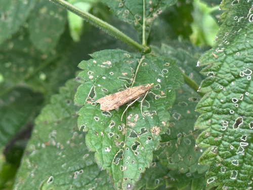
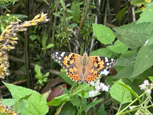
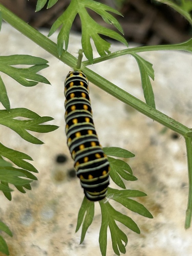
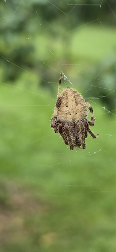
Research-grade observations from iNaturalist (within ~15 mi).
Nearest stream gauge
Events
Gallery
Sources
- • Wikipedia
- • US Census Bureau (ACS 5-year estimates)
- • NOAA National Weather Service
- • Wikidata
- • USGS Earthquake Catalog (global feed)
- • NCES via Urban Institute Education Data Portal
- • GBIF (Global Biodiversity Information Facility)
- • iNaturalist
- • CDC PLACES