Browse / United States / California / Boulevard
Boulevard
CaliforniaCDP

Boulevard
Total population
752
Demographic figures from US Census Bureau · ACS 5-year estimates. Overview below cites Wikipedia and may reference a different year.
City facts
Facts from Wikidata (CC0).
Overview
Boulevard is a census-designated place (CDP) in the Mountain Empire area of southeastern San Diego County, California. It had a population of 359 at the 2020 United States census, up from 315 in the 2010 United States census. The area is rural high desert along the Mexican border.
Read more on WikipediaHistory & geography
History
The Kumeyaay and Cocopah Indians were Boulevard's earliest inhabitants, and the area is rich in Native American history, culture and archeological resources. Today Boulevard is the headquarters of the Manzanita Band of Diegueno Mission Indians. An area near Calexico Lodge is occasionally referred to as Eckener Pass. Reportedly, this is a reference to German Zeppelin pioneer Hugo Eckener. In August 1929, Eckener's Zeppelin Graf Zeppelin, a sister ship of the Hindenburg, landed here on the Los Angeles-Chicago leg of her round-the-world tour. The town and post office were named Boulevard after US Highway 80 which ran through town. Eventually Interstate 8 was constructed, bypassing the town. Local residents report an alternate version of the origin of the name. Boulevard used to be a stage coach stop, reportedly near today's McCain Valley road, east of today's core of Boulevard. Coming from Arizona, this stop was on the first long, flat straight stretch of road, "a boulevard", after climbing the winding In-Ko-Pah mountains and passing through windier roads in Jacumba. In January 2007, the La Posta Casino, owned and operated by the La Posta Band of Mission Indians, opened. It was the smallest casino in the county until it closed in 2012 due to its financial situation.
Geography
According to the United States Census Bureau, the CDP covers an area of 3.9 square miles (10.1 km), all land. However, this only includes the village area of Boulevard. More commonly, Boulevard includes rural outlying areas. The Boulevard Community Planning Group includes approximately 55,350 acres, or about 86 square miles. Located in the East County section of San Diego County, Boulevard with its unique transitional location straddles the Tecate Divide, between the Laguna Mountains above and the desert below, providing views of the surrounding Laguna, In-Ko-Pah and Sierra de Juarez mountains. The community is south of Interstate 8 about west of El Centro. The US Post Office is plotted at although the actual post office has since moved approximately two miles west near the separation of Old Highway 80 and State Route 94. The post office, and the community it serves, has the ZIP Code 91905. Regulatory filings show a California Department of Transportation facility described as a highway maintenance station in Boulevard. It is located in the 40000-block of Old Highway 80 on the south side at as of 1993, and still exists as of 2018. According to the Köppen Climate Classification system, Boulevard has a warm-summer Mediterranean climate, abbreviated "Csa" on climate maps.
Excerpted from the corresponding Wikipedia article (CC BY-SA).
Demographics & economy
Geography
Coordinates & boundaries from the US Census TIGER/Line shapefiles.
Climate
Current forecast
Forecast for Boulevard, CA from NOAA NWS API.
Air quality
Industrial & pollution facilities
Natural hazard risk
Health (adults)
Age-adjusted prevalence estimates from CDC PLACES (latest release).
Walkability
Amenities nearby
Wildlife & biodiversity
Schools
Largest nearby schools
- Clover Flat ElementaryElementary · Boulevard · 187 students · 23.4:1 ratio
Public K–12 schools within ~10 mi from Urban Institute Education Data Portal (NCES Common Core of Data, 2022).
Earthquake history
Photos
Sights & places nearby
Notable people from here
Nearby places in California
- Jacumba6.1 mi away
- Campo10.9 mi away
- Mount Laguna16.3 mi away
- Ocotillo17.6 mi away
- Pine Valley17.8 mi away
- Potrero18.8 mi away
- Descanso24.2 mi away · pop. 1,590
- Jamul34 mi away · pop. 6,574
- Bostonia39.4 mi away · pop. 16,765
- Borrego Springs40.1 mi away · pop. 2,700
- Bonita41.7 mi away · pop. 12,652
- Harmony Grove57.7 mi away · pop. 2,585
Geography & sun
Elevation, sunrise/sunset and daylight from Open-Meteo. Solar climatology from NASA POWER.
Nearby airports
Public attention
Pageview totals from the Wikimedia Pageviews API.
Books about Boulevard


Search results from Open Library.
Recent natural events nearby
- Wildfire RIDGE, Los Angeles, CaliforniaWildfires · 2026-08-07 · 207 mi
- Wildfire BUZZARD, Kern, CaliforniaWildfires · 2026-08-05 · 216 mi
- Wildfire Campwood, Yavapai, ArizonaWildfires · 2026-08-23 · 228 mi
Wildfires, storms and other events from NASA EONET (last 12 months, within 250 mi).
Ground air-quality sensors
Recently spotted species
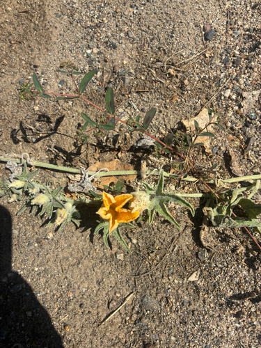
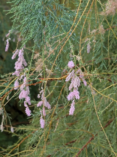
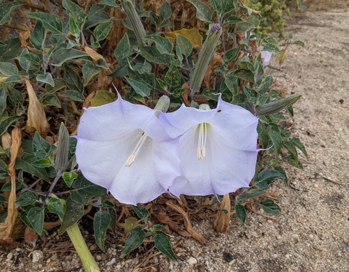
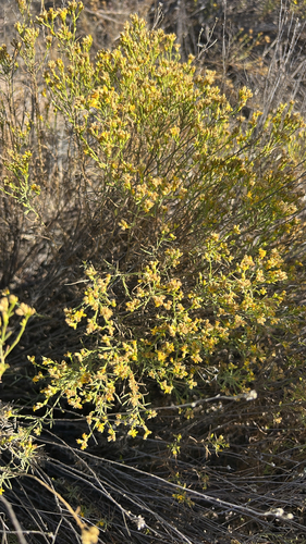
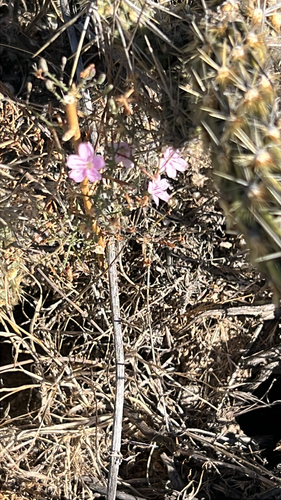
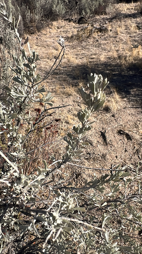
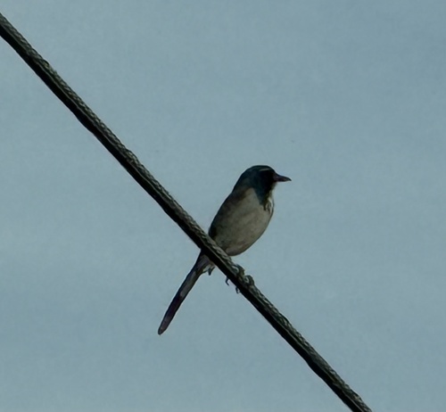
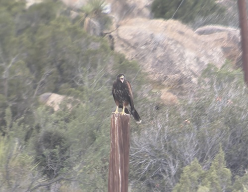
Research-grade observations from iNaturalist (within ~15 mi).
Nearest stream gauge
Events
Gallery
Sources
- • Wikipedia
- • NOAA National Weather Service
- • Wikidata
- • NCES via Urban Institute Education Data Portal
- • iNaturalist
- • CDC PLACES
- • Open-Meteo / sunrise-sunset.org
- • Wikipedia Pageviews API
- • Open Library
- • NASA EONET