Browse / United States / California / El Cajon
El Cajon
Californiacity

El Cajon
Total population
103,287
Median home value
$772,200
Bachelor's+
Median income
$77,462
Air quality index
Demographic figures from US Census Bureau · ACS 5-year estimates. Overview below cites Wikipedia and may reference a different year.
- High Wind Warning · SevereHigh Wind Warning issued October 16 at 12:54PM PDT until October 17 at 8:00PM PDT by NWS San Diego CA
Source: NOAA National Weather Service.
City facts
Facts from Wikidata (CC0).
Overview
El Cajon is a city in San Diego County, California, United States, 17 mi (27 km) east of downtown San Diego. The city takes its name from Rancho El Cajón, which was named for the box-like shape of the valley that surrounds the city, and the origin of the city's common nickname "the Box".
Read more on WikipediaHistory & geography
History
During Spanish rule (1769–1821), the government encouraged settlement of territory now known as California by the establishment of large land grants called ranchos, from which the English word ranch is derived. Land grants were made to the Roman Catholic Church, which set up numerous missions throughout the region. In the early 19th century, mission padres' search for pastureland led them to the El Cajon Valley. Surrounding foothills served as a barrier to straying cattle and a watershed to gather the sparse rainfall. For years, the pasturelands of El Cajon supported the cattle herds of the mission and its native Indian converts. Titles to plots of land were not granted to individuals until the Mexican era (1821–1846). The original intent of the 1834 secularization legislation was to have church property divided among the former mission Indians, but most of the grants were actually made to rich "Californios" of Spanish background who had long been casting envious eyes on the vast holdings of the Roman Catholic missions. In 1845, California Governor Pio Pico confiscated the lands of Mission San Diego de Alcala. He granted 11 square leagues (about ) of the El Cajon Valley to Dona Maria Antonio Estudillo, daughter of José Antonio Estudillo, alcalde of San Diego, to repay a $500 government obligation. The grant was originally called Rancho Santa Monica and encompassed present-day El Cajon, Bostonia, Santee, Lakeside, Flinn Springs, and the eastern part of La Mesa. It also contained the Rancho Cañada de los Coches grant. Maria Estudillo was the wife of Don Miguel Pedrorena (1808–1850), a native of Madrid, Spain, who had come to California from Peru in 1838 to operate a trading business. With the cession of California to the United States after the Mexican–American War,…
Geography
According to the United States Census Bureau, the city has a total area of , all land. It is bordered by San Diego and La Mesa on the west, Spring Valley on the south, Santee on the north, and unincorporated San Diego County on the east. It includes the neighborhoods of Fletcher Hills, Bostonia, and Rancho San Diego. Under the Köppen climate classification, El Cajon straddles areas of Mediterranean climate (Csa), hot semi-arid climate (BSh) and cool semi-arid climate (BSk). As a result, it is often described as "arid Mediterranean" and "semiarid steppe". Like most inland areas in Southern California, the climate varies dramatically within a short distance, known as microclimate. El Cajon's climate has greater extremes compared to coastal San Diego. The farther east from the coast, the more arid the climate gets, until one reaches the mountains, where precipitation increases due to orographic uplift. Temperature variations between night and day tend to be moderate with an average difference of during the summer, and an average difference of during the winter. The annual average precipitation at El Cajon is . Rainfall is fairly evenly distributed throughout the winter, but rare in summer. The wettest month of the year is February with an average rainfall of . The record high temperature was on September 5, 2020, and the record low on January 8, 1913. The wettest "rain year" was from July 1940 to June 1941 with and the driest from July 1988 to June 1989 with . The most rainfall in one month was in January 1993, and the most in 24 hours on January 27, 1916. A rare snowfall in November 1992 totalled . of snow covered the ground in January 1882.
Excerpted from the corresponding Wikipedia article (CC BY-SA).
Demographics & economy
Race & ethnicity
Source: US Census Bureau — American Community Survey, 5-year estimates.
Geography
Coordinates & boundaries from the US Census TIGER/Line shapefiles.
Climate
10-year averages from ERA5 reanalysis (Open-Meteo).
Current forecast
Forecast for El Cajon, CA from NOAA NWS API.
Air quality
Current readings from Open-Meteo Air Quality API (Copernicus CAMS European reanalysis).
Industrial & pollution facilities
Natural hazard risk
Health (adults)
Age-adjusted prevalence estimates from CDC PLACES (latest release).
Walkability
Amenities nearby
Wildlife & biodiversity
Most-observed species
- House FinchHaemorhous mexicanus (P.L.Statius Müller, 1776) · Aves53,677
- American CrowCorvus brachyrhynchos C.L.Brehm, 1822 · Aves49,806
- Anna's HummingbirdCalypte anna (R.Lesson, 1829) · Aves48,424
- Mourning DoveZenaida macroura (Linnaeus, 1758) · Aves43,104
- Black PhoebeSayornis nigricans (Swainson, 1827) · Aves41,844
- California TowheeMelozone crissalis (Vigors, 1839) · Aves40,082
- Lesser GoldfinchSpinus psaltria (Say, 1822) · Aves39,765
- Song SparrowMelospiza melodia (A.Wilson, 1810) · Aves34,397
Citizen-science & research observations from the Global Biodiversity Information Facility (GBIF).
Schools
Largest nearby schools
- Henry HighHigh · San Diego · 2,607 students · 27.2:1 ratio
- Helix HighHigh · La Mesa · 2,502 students · 24.3:1 ratio
- Granite Hills HighHigh · El Cajon · 2,398 students · 24.7:1 ratio
- Hoover HighHigh · San Diego · 2,265 students · 23.1:1 ratio
- Grossmont HighHigh · La Mesa · 2,175 students · 24.4:1 ratio
- Steele Canyon HighHigh · Spring Valley · 2,168 students · 25.5:1 ratio
- Literacy First CharterOther · El Cajon · 1,972 students · 21.4:1 ratio
- Valhalla HighHigh · El Cajon · 1,911 students · 24.5:1 ratio
Public K–12 schools within ~10 mi from Urban Institute Education Data Portal (NCES Common Core of Data, 2022).
Earthquake history
Most recent
- M 3.08 — 2026-10-0120 km ESE of Anza, CA
- M 2.63 — 2026-09-239 km WNW of Anza, CA
- M 2.91 — 2026-08-3122 km SSW of La Quinta, CA
- M 3.06 — 2026-08-2512 km WSW of Salton City, CA
- M 3.64 — 2026-08-1914 km N of Warner Springs, CA
- M 2.63 — 2026-08-1328 km SSW of Ocotillo Wells, CA
Events from the USGS Earthquake Catalog (global) (FDSN Event Web Service).
Photos
Sights & places nearby
Notable people from here


People born within ~10 km, from Wikidata (CC0). Click any name for their Wikipedia article.
Nearby places in California
- Bostonia1.6 mi away · pop. 16,765
- Jamul7.8 mi away · pop. 6,574
- Bonita9.3 mi away · pop. 12,652
- Poway13.3 mi away · pop. 48,713
- Descanso19.9 mi away · pop. 1,590
- Del Mar20.7 mi away · pop. 3,903
- Rancho Santa Fe20.7 mi away · pop. 2,260
- Harmony Grove23.1 mi away · pop. 2,585
- Potrero24.3 mi away · pop. 417
- Fallbrook42.3 mi away · pop. 32,112
- Rainbow43.3 mi away · pop. 2,029
- Borrego Springs46.3 mi away · pop. 2,700
Geography & sun
Elevation, sunrise/sunset and daylight from Open-Meteo. Solar climatology from NASA POWER.
Nearby airports
Public attention
Pageview totals from the Wikimedia Pageviews API.
Books about El Cajon

Search results from Open Library.
Recent natural events nearby
- Wildfire RIDGE, Los Angeles, CaliforniaWildfires · 2026-08-07 · 174 mi
- Wildfire BUZZARD, Kern, CaliforniaWildfires · 2026-08-05 · 184 mi
Wildfires, storms and other events from NASA EONET (last 12 months, within 250 mi).
Ground air-quality sensors
Recently spotted species
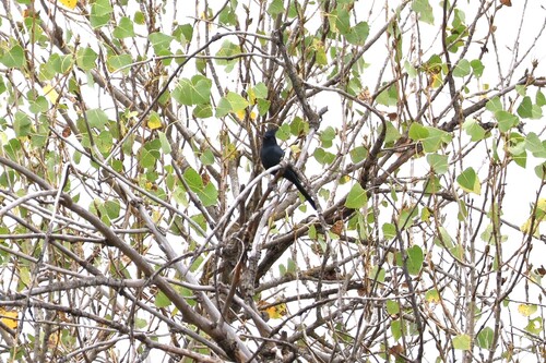

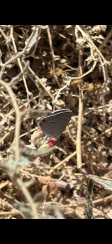
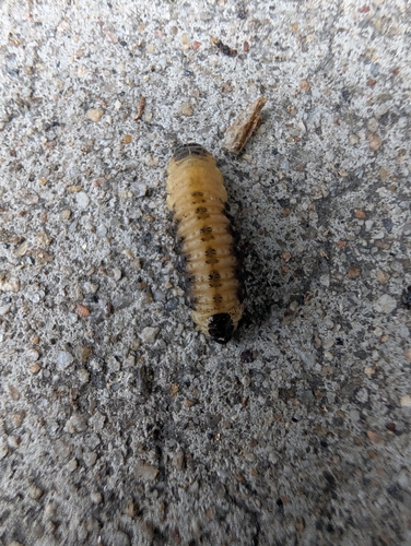
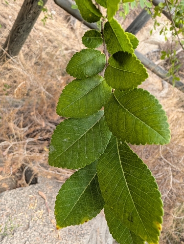
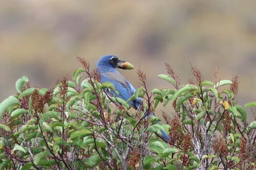
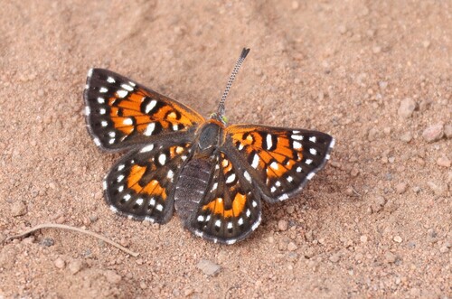
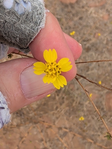
Research-grade observations from iNaturalist (within ~15 mi).
Nearest stream gauge
Live readings from USGS NWIS · measured 2026-06-13 18:00 UTC.
Events
Gallery
Geotagged photos within ~6 miles of El Cajon, from Wikimedia Commons contributors.
 0.1 mi
_(2010-05-02).jpg) 0.3 mi
0.3 mi 0.5 mi
.jpg) 0.5 mi
0.5 mi.jpeg) 0.5 mi
0.5 mi.jpeg) 0.5 mi
0.5 mi 0.5 mi
 0.5 mi
 0.5 mi
.jpg) 0.5 mi
0.5 mi 0.5 mi
 0.6 mi
 0.7 mi
 0.8 mi
 0.8 mi
 0.9 mi
 0.9 mi
 0.9 mi
.jpg) 1.2 mi
1.2 mi 1.2 mi
 1.2 mi
 1.2 mi
 1.2 mi
 1.2 mi
Photos via Wikimedia Commons — see each image page for license & attribution.
Sources
- • Wikipedia
- • US Census Bureau (ACS 5-year estimates)
- • Open-Meteo (ERA5 reanalysis)
- • NOAA National Weather Service
- • Wikimedia Commons
- • Wikidata
- • Open-Meteo Air Quality (CAMS)
- • USGS Earthquake Catalog (global feed)
- • USGS NWIS (water data)
- • NCES via Urban Institute Education Data Portal
- • GBIF (Global Biodiversity Information Facility)
- • iNaturalist
- • CDC PLACES
- • Open-Elevation
- • Open-Meteo / sunrise-sunset.org
- • Wikipedia Pageviews API
- • Open Library
- • NASA EONET