Browse / United States / California / La Quinta
La Quinta
Californiacity

La Quinta
Total population
38,707
Median home value
$661,600
Bachelor's+
Median income
$99,250
Air quality index
Demographic figures from US Census Bureau · ACS 5-year estimates. Overview below cites Wikipedia and may reference a different year.
City facts
Facts from Wikidata (CC0).
Overview
La Quinta is a desert resort city in Riverside County, California, United States. Located between Indian Wells and Indio, it is one of the nine cities of the Coachella Valley. The population was 37,558 at the 2020 census, up from 37,467 at the 2010 census.
Read more on WikipediaHistory & geography
History
The Cahuilla Indians were the first inhabitants of La Quinta. In 1926, Walter Morgan established the La Quinta Resort at the northern section of Marshall Cove as a type of secluded hideaway for Hollywood's celebrities and socialites. The Resort was the site for the Coachella Valley's first golf course, coinciding with the construction and pavement of State Route 111 in the 1930s. Further expansion of Washington Street in the 1950s and 1960s connected La Quinta with US Highways 60 and 99 (became Interstate 10 in the 1970s). As nearby desert cities grew to capacity, La Quinta's growth rose dramatically by the mid-1980s, which led to its incorporation as a city in Riverside County in 1982. In the 1980 census, La Quinta had 4,200 residents, then increased to 11,215 by 1990 in the city's early phases of residential area growth. It was predominantly a part-time community until around that time.
Geography
According to the United States Census Bureau, the city has a total area of , of which is land and (1.22%) is water. The city's elevation is 56 feet (20 m) above sea level. La Quinta is located on the floor of the Coachella Valley, and is surrounded on three sides by the Santa Rosa Mountains. As the floor of the valley sank, it was covered by the Pacific Ocean. Silt deposits from the flow of the Colorado River into the Gulf of California caused the basin to be cut off from the ocean. Five hundred years ago, the Colorado River changed its course and the eastern Coachella Valley flooded, leading to the creation of the historic Lake Cahuilla (a distinct lake from the man-made reservoir that exists today), which was fresh water. The climate of the Coachella Valley is influenced by the surrounding geography. High mountain ranges on three sides contribute to its unique and year-round warm climate, with some of the warmest winters west of the Rocky Mountains. La Quinta has a warm winter/hot summer climate: Its average annual high temperature is and average annual low is but summer highs above are common and sometimes exceed , while summer night lows often stay above . Winters are warm with daytime highs often between . Under of annual precipitation are average, with over 348 days of sunshine per year. The hottest temperature ever recorded there was on July 6, 1905. The mean annual temperature is .
Excerpted from the corresponding Wikipedia article (CC BY-SA).
Demographics & economy
Race & ethnicity
Source: US Census Bureau — American Community Survey, 5-year estimates.
Geography
Coordinates & boundaries from the US Census TIGER/Line shapefiles.
Climate
Current forecast
Forecast for La Quinta, CA from NOAA NWS API.
Air quality
Current readings from Open-Meteo Air Quality API (Copernicus CAMS European reanalysis).
Industrial & pollution facilities
Natural hazard risk
Health (adults)
Walkability
Amenities nearby
Wildlife & biodiversity
Most-observed species
- Costa's HummingbirdCalypte costae (Bourcier, 1839) · Aves8,603
- House FinchHaemorhous mexicanus (P.L.Statius Müller, 1776) · Aves7,818
- Mourning DoveZenaida macroura (Linnaeus, 1758) · Aves7,603
- Common RavenCorvus corax Linnaeus, 1758 · Aves7,253
- VerdinAuriparus flaviceps (Sundevall, 1850) · Aves6,934
- Northern MockingbirdMimus polyglottos (Linnaeus, 1758) · Aves6,553
- Black PhoebeSayornis nigricans (Swainson, 1827) · Aves5,834
- MallardAnas platyrhynchos Linnaeus, 1758 · Aves5,118
Citizen-science & research observations from the Global Biodiversity Information Facility (GBIF).
Schools
Earthquake history
Photos
Sights & places nearby
Notable people from here


People born within ~10 km, from Wikidata (CC0). Click any name for their Wikipedia article.
Nearby places in California
- Palm Desert8.1 mi away · pop. 51,163
- Oasis11.9 mi away
- Indio Hills13.6 mi away · pop. 1,117
- Cathedral City17 mi away · pop. 52,267
- North Shore22.9 mi away
- Mountain Center26.1 mi away
- Desert Hot Springs26.4 mi away · pop. 33,200
- Idyllwild-Pine Cove27 mi away
- Borrego Springs28.4 mi away · pop. 2,700
- Cabazon34.5 mi away
- East Hemet38.7 mi away
- Banning41.4 mi away · pop. 31,093
Geography & sun
Elevation, sunrise/sunset and daylight from Open-Meteo. Solar climatology from NASA POWER.
Nearby airports
Public attention
Pageview totals from the Wikimedia Pageviews API.
Books about La Quinta
Search results from Open Library.
Recent natural events nearby
- Wildfire RIDGE, Los Angeles, CaliforniaWildfires · 2026-08-07 · 166 mi
- Wildfire BUZZARD, Kern, CaliforniaWildfires · 2026-08-05 · 174 mi
- Wildfire Campwood, Yavapai, ArizonaWildfires · 2026-08-23 · 194 mi
- Wildfire PLAINS, San Luis Obispo, CaliforniaWildfires · 2026-08-12 · 245 mi
Wildfires, storms and other events from NASA EONET (last 12 months, within 250 mi).
Ground air-quality sensors
Recently spotted species
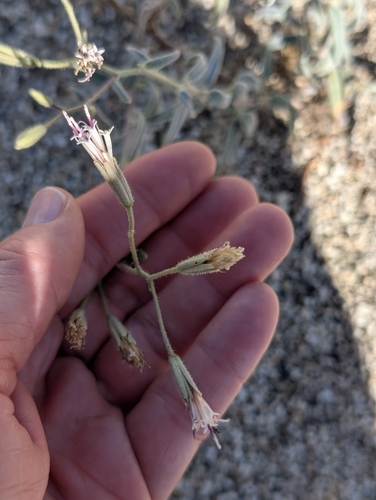
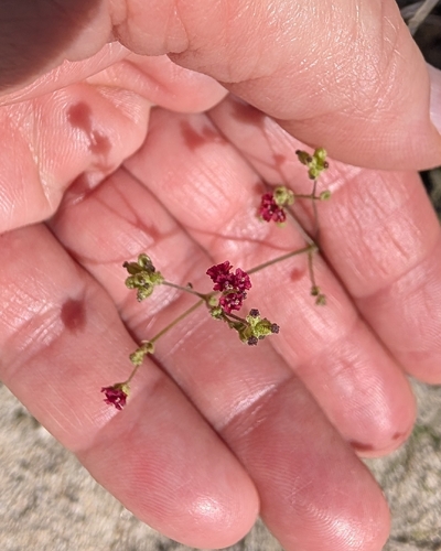
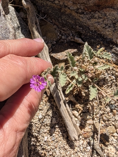
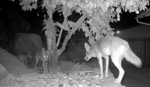
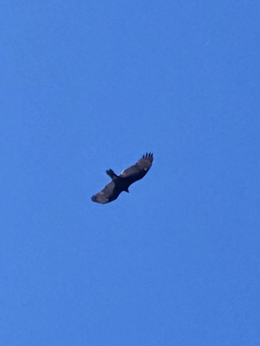
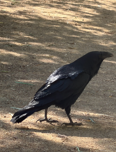
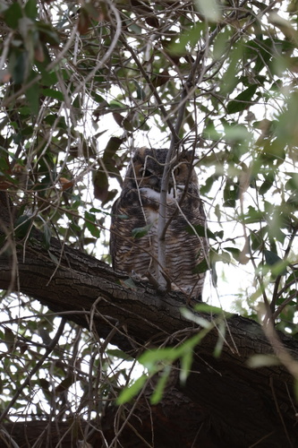
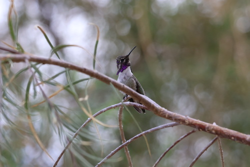
Research-grade observations from iNaturalist (within ~15 mi).
Nearest stream gauge
Events
Gallery
Sources
- • Wikipedia
- • US Census Bureau (ACS 5-year estimates)
- • NOAA National Weather Service
- • Wikidata
- • Open-Meteo Air Quality (CAMS)
- • GBIF (Global Biodiversity Information Facility)
- • iNaturalist
- • Open-Meteo / sunrise-sunset.org
- • Wikipedia Pageviews API
- • Open Library
- • NASA EONET