Browse / United States / California / Laguna Hills
Laguna Hills
Californiacity

Laguna Hills
Total population
30,740
Median home value
$1,012,300
Bachelor's+
Median income
$128,851
Founded
1991
Air quality index
Demographic figures from US Census Bureau · ACS 5-year estimates. Overview below cites Wikipedia and may reference a different year.
- Extreme Heat Warning · SevereExtreme Heat Warning issued October 1 at 1:12PM PDT until October 8 at 8:00PM PDT by NWS San Diego CA
Source: NOAA National Weather Service.
City facts
Facts from Wikidata (CC0).
Overview
Laguna Hills is a city in southern Orange County, California, United States. Its name refers to its proximity to Laguna Canyon and the much older Laguna Beach. Other newer cities nearby—Laguna Niguel and Laguna Woods—are similarly named. The population was 31,374 at the 2020 census.
Read more on WikipediaHistory & geography
History
Laguna Hills is built on one of the major land grants developed during the rancho era. Following Mexico's independence from Spain in 1821, those who had served in the government or who had friends in authority, were given vast lands for cattle grazing. Rancho Lomas de Santiago, Rancho San Joaquin, and Rancho Niguel covered much of the western portion of the Saddleback Valley. Don Juan Avila was granted the 13,000-acre Rancho Niguel on which Laguna Hills is located. In 1894, Lewis Moulton purchased Rancho Niguel from Don Juan Avila and increased the original grant to . Moulton and his partner, Jean Piedra Daguerre, used the ranch to raise sheep and cattle. The Moulton Ranch was eventually subdivided in the early 1960s, and part of the division became today's Laguna Hills. Incorporation efforts began in 1987 and on March 5, 1991, 86% of the residents voted in favor of forming the City of Laguna Hills. On December 20, 1991, Laguna Hills officially became a City. Subsequent annexations have included the North Laguna Hills (1996) and the "Westside Annexation" (2000) areas. The latter included of residential land, including the Aliso Viejo Community Association's Sheep Hills Park. In 2004, Laguna Hills' City Hall was moved to an existing office building at 24035 El Toro Road, which was bought and renovated by the city. The city also rents out commercial space in the building, providing the city with a positive net income. Interstate 5 travels along the eastern border of Laguna Hills, forming the border with Lake Forest and Mission Viejo. I-5 has five interchanges in the city, from south to north: Oso Parkway, La Paz Road, Alicia Parkway, El Toro Road (Highway S18), and Lake Forest Drive. County Route S18, also known as El Toro Road, is a major road in Laguna Hills,…
Excerpted from the corresponding Wikipedia article (CC BY-SA).
Demographics & economy
Race & ethnicity
Source: US Census Bureau — American Community Survey, 5-year estimates.
Geography
Coordinates & boundaries from the US Census TIGER/Line shapefiles.
Climate
Current forecast
Forecast for Laguna Hills, CA from NOAA NWS API.
Air quality
Current readings from Open-Meteo Air Quality API (Copernicus CAMS European reanalysis).
Industrial & pollution facilities
Natural hazard risk
Health (adults)
Walkability
Amenities nearby
Wildlife & biodiversity
Most-observed species
- American CrowCorvus brachyrhynchos C.L.Brehm, 1822 · Aves74,190
- House FinchHaemorhous mexicanus (P.L.Statius Müller, 1776) · Aves68,411
- Black PhoebeSayornis nigricans (Swainson, 1827) · Aves58,644
- Song SparrowMelospiza melodia (A.Wilson, 1810) · Aves52,899
- Allen's HummingbirdSelasphorus sasin (R.Lesson, 1829) · Aves47,361
- Lesser GoldfinchSpinus psaltria (Say, 1822) · Aves45,849
- Mourning DoveZenaida macroura (Linnaeus, 1758) · Aves45,660
- Anna's HummingbirdCalypte anna (R.Lesson, 1829) · Aves45,089
Citizen-science & research observations from the Global Biodiversity Information Facility (GBIF).
Schools
Earthquake history
Most recent
- M 2.63 — 2026-09-239 km WNW of Anza, CA
- M 2.94 — 2026-09-174 km SSE of Compton, CA
- M 2.56 — 2026-09-1327 km SSE of Malibu, CA
- M 2.65 — 2026-09-124 km E of Lennox, CA
- M 3.31 — 2026-09-1226 km ESE of Avalon, CA
- M 2.95 — 2026-09-1226 km ESE of Avalon, CA
Events from the USGS Earthquake Catalog (global) (FDSN Event Web Service).
Photos
Sights & places nearby
Notable people from here


People born within ~10 km, from Wikidata (CC0). Click any name for their Wikipedia article.
Nearby places in California
- Aliso Viejo2 mi away · pop. 52,176
- Laguna Woods2.4 mi away
- Las Flores4.3 mi away · pop. 5,513
- Coto de Caza6.4 mi away
- Dana Point8 mi away · pop. 32,790
- Modjeska9 mi away
- Home Gardens22.5 mi away
- El Sobrante23.7 mi away
- Cypress25.1 mi away · pop. 49,498
- Los Alamitos25.3 mi away
- Canyon Lake25.9 mi away
- Hawaiian Gardens27.2 mi away · pop. 13,691
Geography & sun
Elevation, sunrise/sunset and daylight from Open-Meteo. Solar climatology from NASA POWER.
Nearby airports
Public attention
Pageview totals from the Wikimedia Pageviews API.
Books about Laguna Hills
Search results from Open Library.
Recent natural events nearby
- Wildfire RIDGE, Los Angeles, CaliforniaWildfires · 2026-08-07 · 105 mi
- Wildfire BUZZARD, Kern, CaliforniaWildfires · 2026-08-05 · 114 mi
- Wildfire PLAINS, San Luis Obispo, CaliforniaWildfires · 2026-08-12 · 182 mi
- Prescribed Fire CRAWFORD CORRAL RX, Tulare, CaliforniaWildfires · 2026-09-19 · 220 mi
Wildfires, storms and other events from NASA EONET (last 12 months, within 250 mi).
Ground air-quality sensors
Recently spotted species
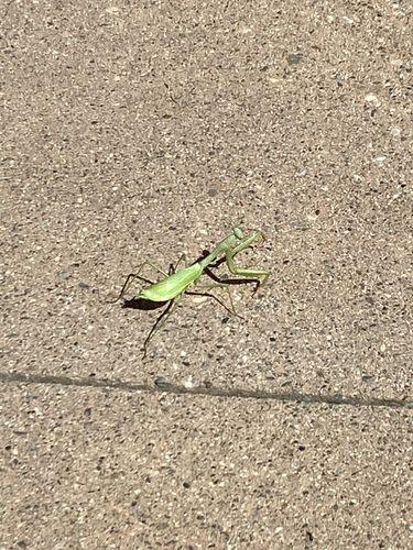
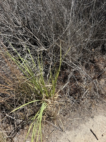
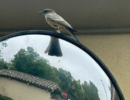
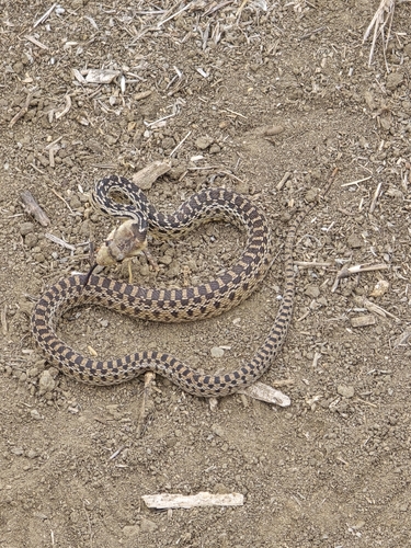
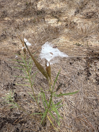

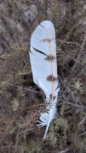
Research-grade observations from iNaturalist (within ~15 mi).
Nearest stream gauge
Events
Gallery
Sources
- • Wikipedia
- • US Census Bureau (ACS 5-year estimates)
- • NOAA National Weather Service
- • Wikidata
- • Open-Meteo Air Quality (CAMS)
- • USGS Earthquake Catalog (global feed)
- • GBIF (Global Biodiversity Information Facility)
- • iNaturalist
- • Open-Meteo / sunrise-sunset.org
- • Wikipedia Pageviews API
- • Open Library
- • NASA EONET